


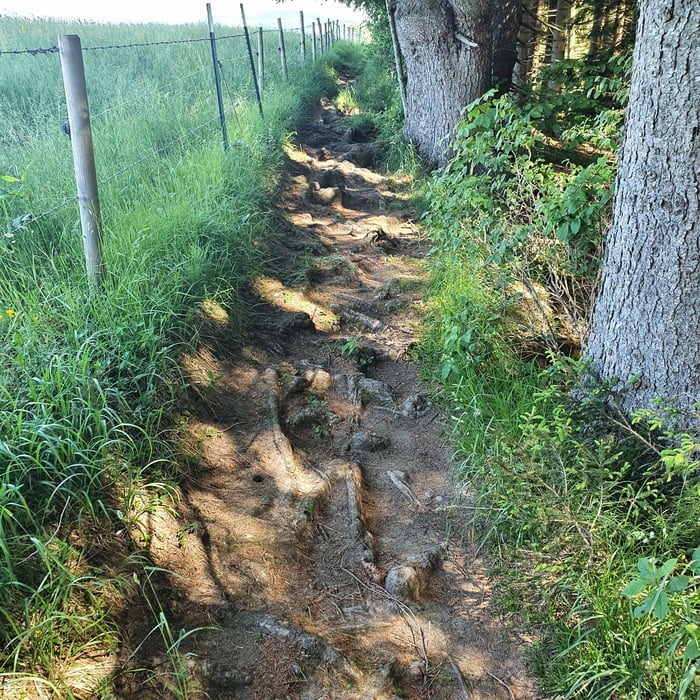
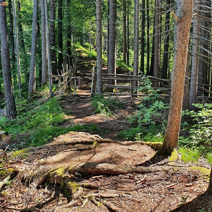
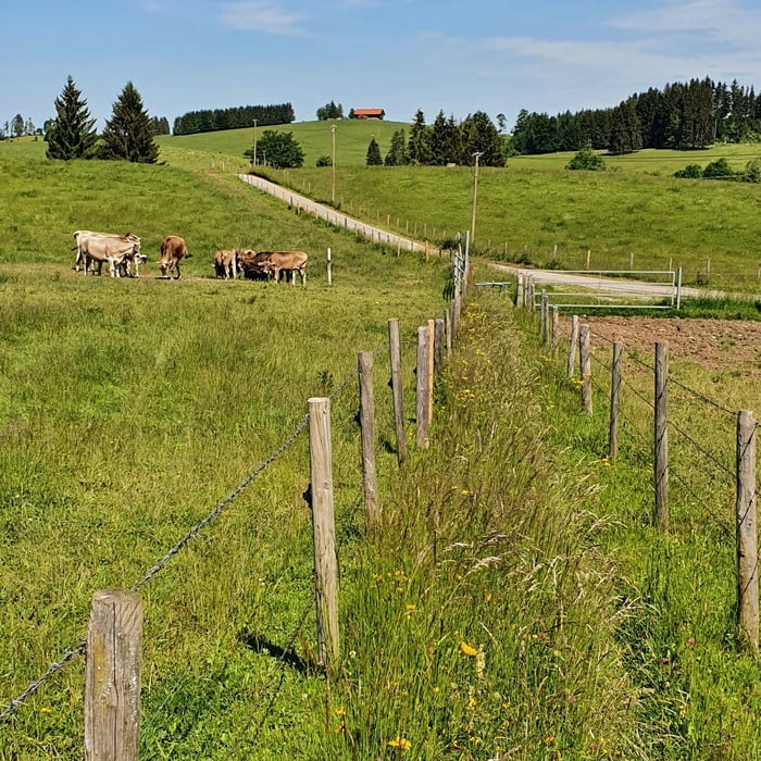
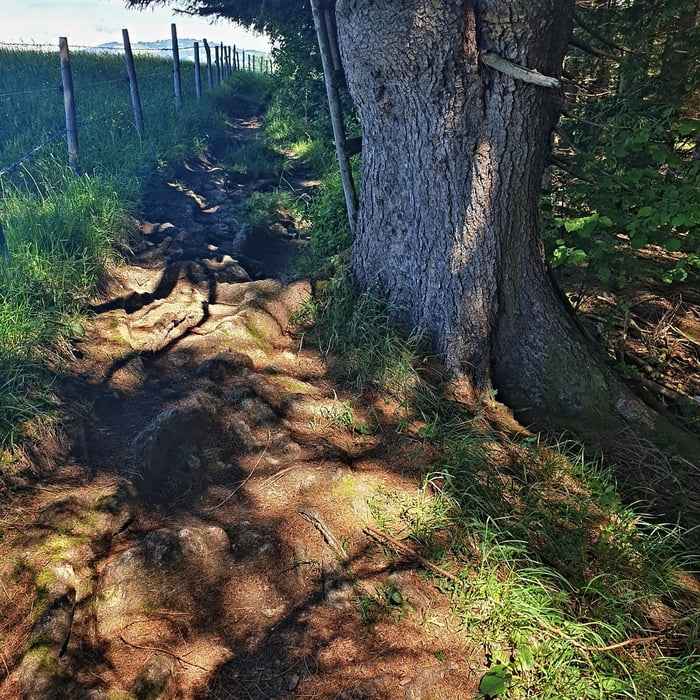
Vom Schmutterweiher zweigt der Wanderweg nach links ab, es ist gleich zu Beginn recht dreckig, wird aber nach ein paar Schlammspuren viel besser. Die folgenden Wurzeln sind für mich immer eine Herausforderung, schaff ich es ohne Abzusteigen alle zu überfahren. Es folgt ein schöner Wiesenweg zwischen 2 Stachekdrahtzäune. Auf dem Wirtschaftsweg nach rechts zum Weiler Oberschlicht und auf dem beschiderten Pfad nach Falchen in Lechbruck
Tour gallery
Tour map and elevation profile
Minimum height 767 m
Maximum height 911 m
More about the tour author

|
eganahl |
Comments

Sameister - Schmutterweiher
GPS tracks
Trackpoints-
GPX / Garmin Map Source (gpx) download
-
TCX / Garmin Training Center® (tcx) download
-
CRS / Garmin Training Center® (crs) download
-
Google Earth (kml) download
-
G7ToWin (g7t) download
-
TTQV (trk) download
-
Overlay (ovl) download
-
Fugawi (txt) download
-
Kompass (DAV) Track (tk) download
-
Track data sheet (pdf) download
-
Original file of the author (gpx) download
More about the tour author
|
|
eganahl |
Add to my favorites
Remove from my favorites
Edit tags
Open track
My score
Rate