Login

Forgot your login?

Cookies have to be accepted!
Your browser's cookie functionality is disabled. Please enable this functionality.

Not a member yet?

Register now
Login

Available for registred users only

Log in to use this feature.

Forgot your login?

Cookies have to be accepted!
Your browser's cookie functionality is disabled. Please enable this functionality.

Not a member yet?

Register now
Filter
Categories
Advanced filters
  • Distance (km)
  • Height
Save filters Reset filter

TrackRank

QRCode

Technical data

Distance2,8 km Height5 m Way down232 m Duration01:41 h:m Date23.06.2022
Scores Author Landscape Fun factor Fitness Technique

Statistics

145 Views Scores 0 Downloads Average
Rate
  • Track data sheet
  • Directions
  • Downloads

Tour gallery

Tour map and elevation profile

  • Open Street Map
  • Google
Minimum height 1346 m Maximum height 1585 m Detailed view

More about the tour author

horst1508
Member since 2012

Send private message

Comments

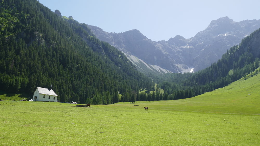
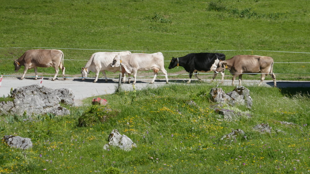
Wir werden am Bahnhof Nenzing mit dem Bus der Firma Lisi & Friedl (Tel. +43 5525 62594) abgeholt, Autos, Motrorräder und Fahrräder dürfen die Zugangsstraße nicht benutzen. Im Nenziger Himmel machen wir eine kürzeree leicher Wanderung zur Alpe Güfel, die damals nicht bewirtschaftet war,

GPS tracks

Trackpoints
  • GPX / Garmin Map Source (gpx) download
  • TCX / Garmin Training Center® (tcx) download
  • CRS / Garmin Training Center® (crs) download
  • Google Earth (kml) download
  • G7ToWin (g7t) download
  • TTQV (trk) download
  • Overlay (ovl) download
  • Fugawi (txt) download
  • Kompass (DAV) Track (tk) download
  • Track data sheet (pdf) download
  • Original file of the author (gpx) download

More about the tour author

horst1508
Member since 2012

Send private message
Share track
Add to my favorites
Remove from my favorites
Edit tags
My score
Rate
Track: Im Nenziger Himmel zur Alpe Güfel
Type: Hiking
Distance: 2,8 km
Evaluated on:
Duration:
Day(s)
Hour(s)
Minute(s)
Score: Landscape Fun factor Fitness Technique