


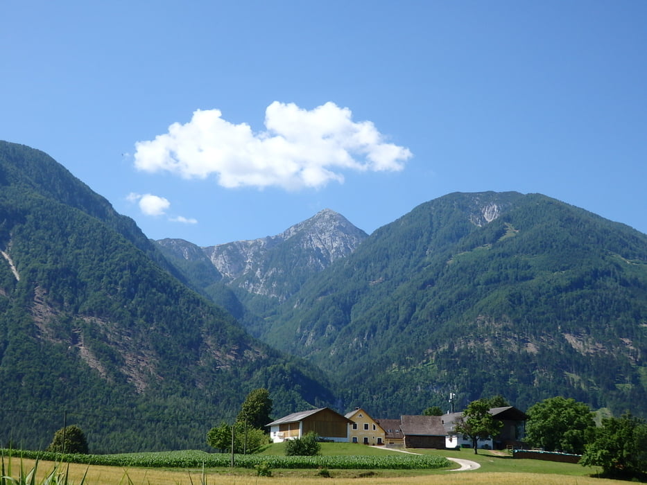
Von Klagenfurt längs der Glan über Hinterberg, Kosasmojach zur Drau. Über die Annabrücke nach Galizien, Glantschach nach Eisenkappel. Von dort auf den Schaidasattel (1065m) nach Zell-Pfarre und über Waiditsch nach Ferlach und zum Draukraftwerk Ferlach, wo die neue Europa-Attraktion einer Fischtreppe zu bewundern ist. Über die Staumauer ans Nordufer und auf steilem schmalen Weg nach Maria Rain und zurück nach Klagenfurt. Heute habe ich den Akku bis zur letzten Wattstunde ausgefahren, die letzten 5 km ging es ohne Motorunterstützung nach Hause.
Tour gallery
Tour map and elevation profile
Minimum height 398 m
Maximum height 1057 m
More about the tour author
|
|
walderich |
Comments

GPS tracks
Trackpoints-
GPX / Garmin Map Source (gpx) download
-
TCX / Garmin Training Center® (tcx) download
-
CRS / Garmin Training Center® (crs) download
-
Google Earth (kml) download
-
G7ToWin (g7t) download
-
TTQV (trk) download
-
Overlay (ovl) download
-
Fugawi (txt) download
-
Kompass (DAV) Track (tk) download
-
Track data sheet (pdf) download
-
Original file of the author (gpx) download
More about the tour author
|
|
walderich |
Add to my favorites
Remove from my favorites
Edit tags
Open track
My score
Rate