


Es ist eine Wanderung aus dem kostenlosen Wanderheft vom Ferienland Donau-Ries. Eine Beschreibung gibt es auch online.
https://www.ferienland-donau-ries.de/wege/natur-_und_kulturrundweg_thier-2234/
Wie alle der Touren vom Wanderheft wieder mit sehr guten Markierungen.
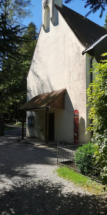
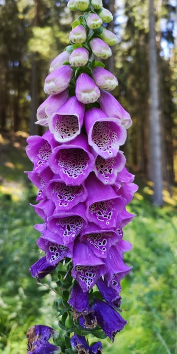
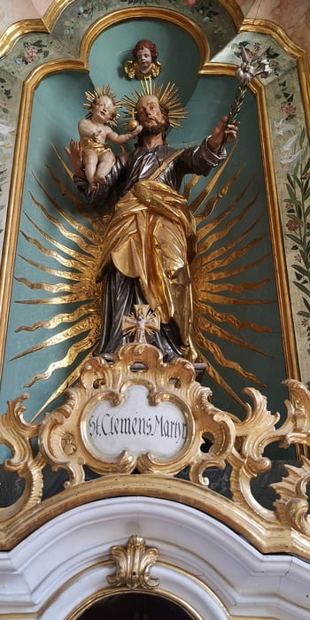
Tour gallery

Tour map and elevation profile
Minimum height 355 m
Maximum height 511 m
More about the tour author
|
|
JoachimDief |
Comments

Nach Thierhaupten fahren und zum Beispiel auf dem Parkplatz beim Kloster parken. Ich habe die Wanderung beim Obst- und Gartenbauverein gestartet. Auch da gibt es einen Parkplatz für mehrere Autos.
GPS tracks
Trackpoints-
GPX / Garmin Map Source (gpx) download
-
TCX / Garmin Training Center® (tcx) download
-
CRS / Garmin Training Center® (crs) download
-
Google Earth (kml) download
-
G7ToWin (g7t) download
-
TTQV (trk) download
-
Overlay (ovl) download
-
Fugawi (txt) download
-
Kompass (DAV) Track (tk) download
-
Track data sheet (pdf) download
-
Original file of the author (gpx) download
More about the tour author
|
|
JoachimDief |
Add to my favorites
Remove from my favorites
Edit tags
Open track
My score
Rate