Login

Forgot your login?

Cookies have to be accepted!
Your browser's cookie functionality is disabled. Please enable this functionality.

Not a member yet?

Register now
Login

Available for registred users only

Log in to use this feature.

Forgot your login?

Cookies have to be accepted!
Your browser's cookie functionality is disabled. Please enable this functionality.

Not a member yet?

Register now
Filter
Categories
Advanced filters
  • Distance (km)
  • Height
Save filters Reset filter

TrackRank

QRCode

Technical data

Distance28,4 km Height663 m Way down659 m Duration02:22 h:m Date09.07.2022
Scores Author Landscape Fun factor Fitness Technique

Statistics

174 Views Scores 14 Downloads Average
Rate
  • Track data sheet
  • Directions
  • Downloads
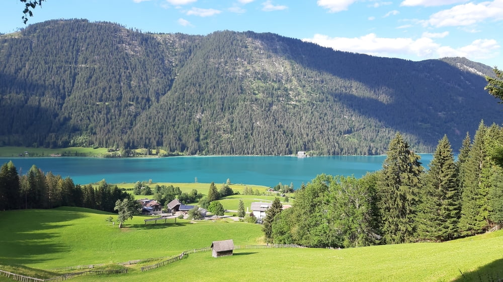
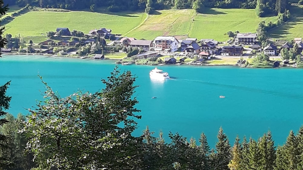
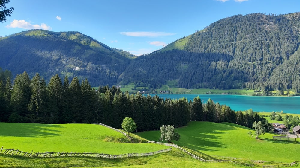
schöne kurze Runde über Naggler Alm und die Alte Mühle mit herrlichen Blicken auf den See. 2 kurze Trailpassagen: ein Teil vom Naggler trail - sehr flowig, Gatschacher Weide: wurzelig.
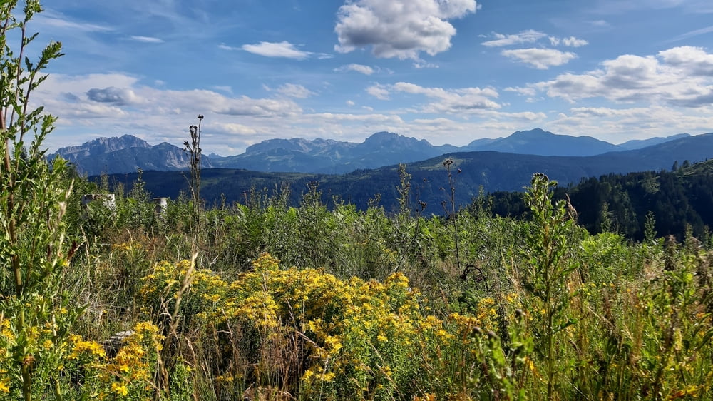
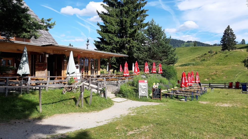
Tour gallery

Tour map and elevation profile

  • Open Street Map
  • Google
Minimum height 935 m Maximum height 1352 m Detailed view

More about the tour author

mitter
Member since 2008

Send private message

Comments

Start in Gatschach.

GPS tracks

Trackpoints
  • GPX / Garmin Map Source (gpx) download
  • TCX / Garmin Training Center® (tcx) download
  • CRS / Garmin Training Center® (crs) download
  • Google Earth (kml) download
  • G7ToWin (g7t) download
  • TTQV (trk) download
  • Overlay (ovl) download
  • Fugawi (txt) download
  • Kompass (DAV) Track (tk) download
  • Track data sheet (pdf) download
  • Original file of the author (gpx) download

More about the tour author

mitter
Member since 2008

Send private message
Share track
Add to my favorites
Remove from my favorites
Edit tags
My score
Rate
Track: kleine Weißensee Südufer Runde 220709
Type: Mountain bike
Distance: 28,4 km
Evaluated on:
Duration:
Day(s)
Hour(s)
Minute(s)
Score: Landscape Fun factor Fitness Technique