
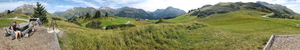

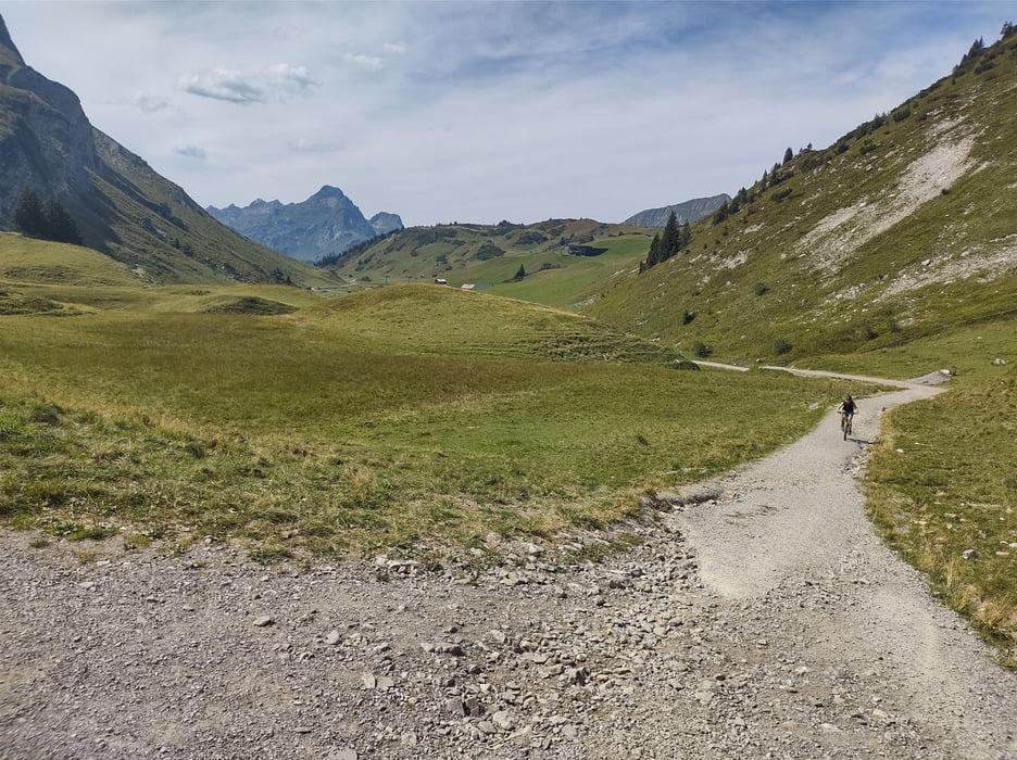
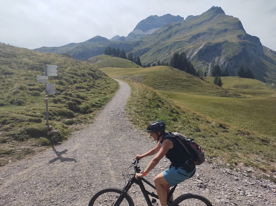
Die Runde führt am Hochtannbergpass rund um dar Karhorn. Bis Warth kann man auf der Straße locker einrollen dann großteils auf Schotterwegen und einfach fahrbaren Wanderwegen. Ein kurzes Stück muß wegen Fahrverbot geschoben werden. Auf dem Burgwald Trail geht's im Tiefflug das letzte Stück nach Lech. Wer nicht auf Downhill steht kann bequem umfahren.
Die Tour ist optimal für alle die der Straße entkommen wollen, aber nicht die harten Trails suchen.
Einschränkungen
On this tour there is a cycling ban on 2 kilometers!
Tour gallery

Tour map and elevation profile
Minimum height 1416 m
Maximum height 1794 m
More about the tour author

|
Christi0012 |
Comments

An der Straße zwischen Lech und Warth sind einige kleine Parkplätze.
Einschränkungen
On this tour there is a cycling ban on 2 kilometers!
GPS tracks
Trackpoints-
GPX / Garmin Map Source (gpx) download
-
TCX / Garmin Training Center® (tcx) download
-
CRS / Garmin Training Center® (crs) download
-
Google Earth (kml) download
-
G7ToWin (g7t) download
-
TTQV (trk) download
-
Overlay (ovl) download
-
Fugawi (txt) download
-
Kompass (DAV) Track (tk) download
-
Track data sheet (pdf) download
-
Original file of the author (gpx) download
More about the tour author
|
|
Christi0012 |
Add to my favorites
Remove from my favorites
Edit tags
Open track
My score
Rate