


Rif. Monte Bianco-Rif. Tetras Lyre
Rif. Monte Bianco-Courmayeur-Arvier-Le Pont-Rif. Tetras Lyre
Heute eine fast reine Asphaltetappe. Ca 12km auf einer Strada Statale, glücklicherweise leicht fallend. Und ab Arvier beginnt die Steigung auf der SR23. Hier ist dankenswerterweise kaum Verkehr.
Jedoch schlägt die Hitze wieder voll zu. Schatten gibt es leider kaum. Am Campingplatz kurz vor meinem Ziel gibt es einen Minimarkt, wo ich noch eingekauft habe.
Quartier: Rif. Tetras Lyre im dormitorio HP 50€, ok.
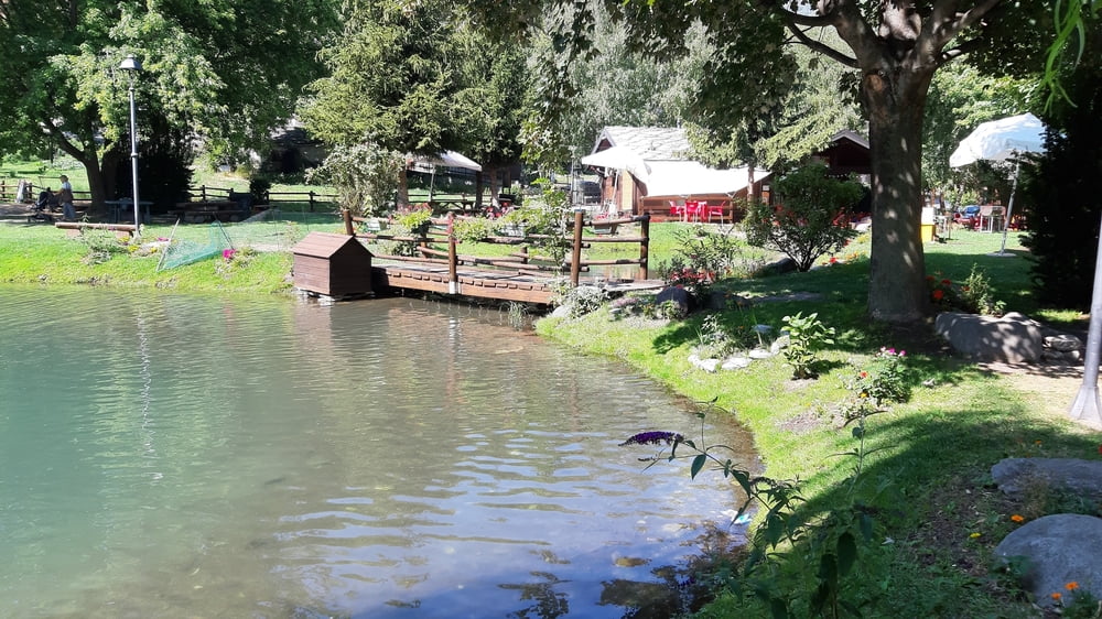
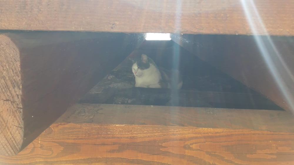
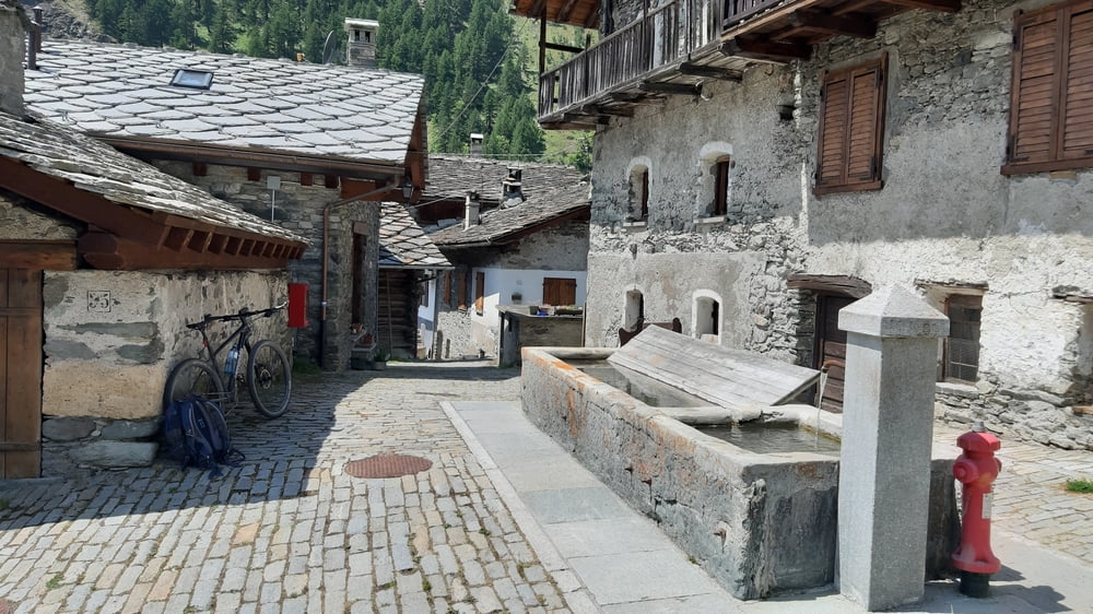
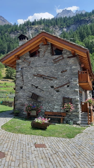
Tour gallery
Tour map and elevation profile
Minimum height 779 m
Maximum height 1996 m
More about the tour author
|
|
mitter |
Comments

Start vom Rifugio Monte Bianco bei Courmayeur.
GPS tracks
Trackpoints-
GPX / Garmin Map Source (gpx) download
-
TCX / Garmin Training Center® (tcx) download
-
CRS / Garmin Training Center® (crs) download
-
Google Earth (kml) download
-
G7ToWin (g7t) download
-
TTQV (trk) download
-
Overlay (ovl) download
-
Fugawi (txt) download
-
Kompass (DAV) Track (tk) download
-
Track data sheet (pdf) download
-
Original file of the author (gpx) download
More about the tour author
|
|
mitter |
Add to my favorites
Remove from my favorites
Edit tags
Open track
My score
Rate