


Abriès-Rif. Meira Garneri
Abriès-Ville-Molines en Queyras-Col Agnel (2744m)-
Pontechianale-Casteldelfino-Sampeyre-Ristoro S. Anna-
Rif. Meira Garneri
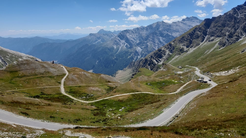
Wieder eine Etappe, die der TdF alle Ehre machen würde. Nur Straße! Die 20 km hinauf zum Agnello, wie die Italiener sagen, sind sehr stark von Rennradlern frequentiert, die mich der Reihe nach überholen. Ca nach 3 Stunden, mit Jausenpause, hab ich's dann auch geschafft. Gegend: westälplerisch großartig!
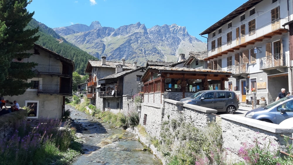
Runter weiter auf der SP. In Pontechianale mach ich ein bisschen Sightseeing. Man hat mir nicht zu viel versprochen: ein außerordentlich schönes, antikes Dorf. Von Sampeyre geht’s dann noch mal gut 800hm auf einer schönen Almstraße hinauf zum Rif Meira Garneri. Der alte Sessellift hätte mich eh nicht mitgenommen, erfahre ich oben.
Quartier Rif. Meira Garneri, HP 90€, sehr schön und freundlich!
Tour gallery
Tour map and elevation profile
Minimum height 969 m
Maximum height 2744 m
More about the tour author
|
|
mitter |
Comments

Start in Abries vom Gite Le Villard.
GPS tracks
Trackpoints-
GPX / Garmin Map Source (gpx) download
-
TCX / Garmin Training Center® (tcx) download
-
CRS / Garmin Training Center® (crs) download
-
Google Earth (kml) download
-
G7ToWin (g7t) download
-
TTQV (trk) download
-
Overlay (ovl) download
-
Fugawi (txt) download
-
Kompass (DAV) Track (tk) download
-
Track data sheet (pdf) download
-
Original file of the author (gpx) download
More about the tour author
|
|
mitter |
Add to my favorites
Remove from my favorites
Edit tags
Open track
My score
Rate