


Macra-Rore
Macra-San Damiano-Chesta-Colle Birrone (1700m)-
Collet Rusciera (2052m)-Colle Sampeyre (2284m)-
Rif. Meira Garneri-Sampeyre-Rore
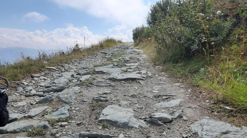
Von Macra die schon bekannte Straße runter nach San Damiano. Beim netten Mirco, der mir gestern so behilflich war bei der Quartiersuche, eingekauft und dann 1600hm aufwärts. Der Teer weicht in Chesta dem Schotter. Wie in dieser Gegend üblich sind diese sog. sterrate hier oft sehr rumpelig.
Dh auch bei moderater Steigung ist sehr anstrengend im Sattel zu bleiben. Trotzdem eine sehr angenehme Tour, nur ein paar Motorräder und ein paar Biker getroffen,
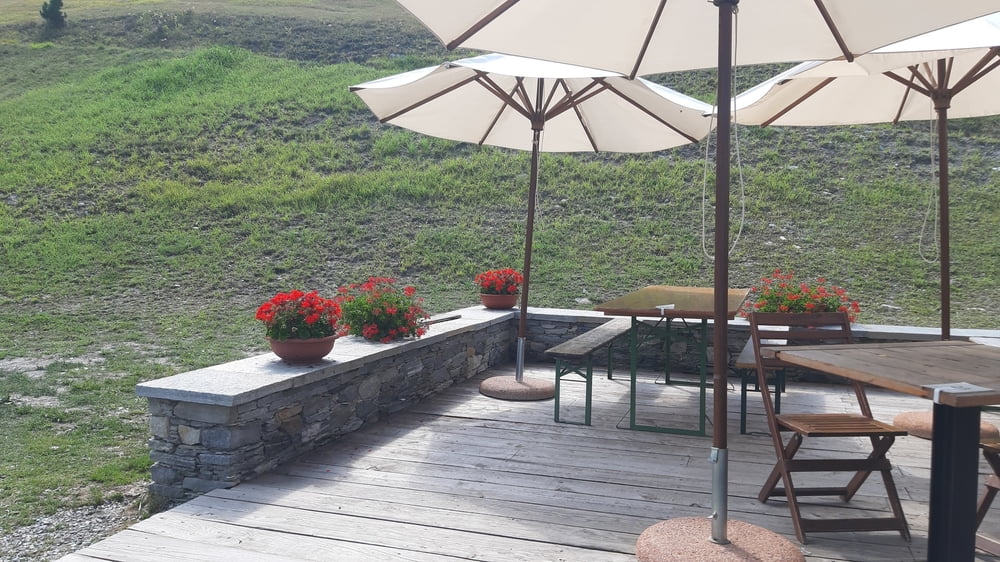
Vom Colle Sampeyre auf Asphalt runter , beim Rif. Meira Garneri noch mal eingekehrt für einen Kaffee und eine süße Köstlichkeit eingekehrt. Von Sampeyre dann noch ca 3km nach Rore zum fantastischen Quartier "Ciambun" (=gutes Feld). Sehr chic und doch sehr familiär. Ausgezeichnete Küche! Wäsche gewaschen! Optimales Quartier: schön, freundlich, hilfsbereit (Kette geölt), klein (es gibt nur 4 Zimmer). Toll! Schwerste Empfehlung!! HP 90€.
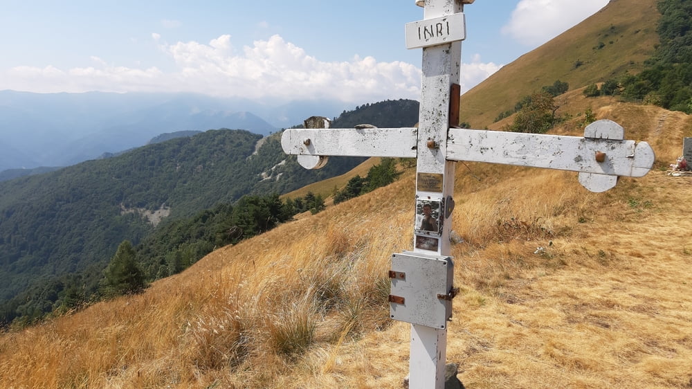
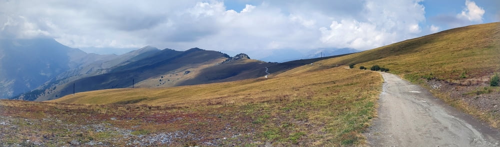
Tour gallery
Tour map and elevation profile
Minimum height 766 m
Maximum height 2330 m
More about the tour author
|
|
mitter |
Comments

Start in Macra, Il Cavallo Bianco.
GPS tracks
Trackpoints-
GPX / Garmin Map Source (gpx) download
-
TCX / Garmin Training Center® (tcx) download
-
CRS / Garmin Training Center® (crs) download
-
Google Earth (kml) download
-
G7ToWin (g7t) download
-
TTQV (trk) download
-
Overlay (ovl) download
-
Fugawi (txt) download
-
Kompass (DAV) Track (tk) download
-
Track data sheet (pdf) download
-
Original file of the author (gpx) download
More about the tour author
|
|
mitter |
Add to my favorites
Remove from my favorites
Edit tags
Open track
My score
Rate