


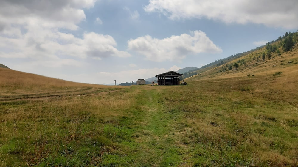
Rore-Rif. Jumarre
Rore-Sampeyre-Ruà-Colle del Prete (1716m)-Colle Gilba-
San Bernardo-San Front-Paesana-Barge-Bibiana-
Torre Pellice-Rif. Jumarre (1400m)
Die ersten ca 700hm auf eriner nicht sehr befahrenen Straße. Ab Ruà schöner Schotter bis zum Colle del Prete. Ab da bis zum Colle Gilba wieder sehr rumpelig. Von da nehme ich einen trail, den ich kaum fahren kann bis San Bernardo.
Von da schöne Schotterstraße und dann Teer. Ab San Front bis Torre Pellice Kilometer gemacht auf der Hauptstraße. Zum Glück wenig Schwerverkehr. Von Torre Pellice geht’s auf einer kleinen Teerstraße rauf bis zum Rifugio.
Ich hätte ein paar mal auf Schotter ausweichen können, MTB Tour "alle Creste".
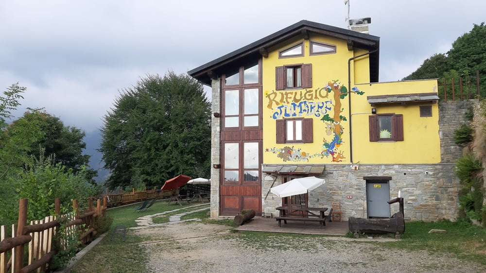
Quartier Rif Jumarre, im 4-Bett-Zimmer allein, gut.Abendessen leider nicht gut zumal es fürchterlich laut ist mit vielen italienischen Ausflüglern. HP 41€, Frühstück gut! Und sehr guter Preis!
Tour gallery
Tour map and elevation profile
Minimum height 426 m
Maximum height 1716 m
More about the tour author
|
|
mitter |
Comments

Start in Rore beim wunderbaren Agriturismo Ciambun!
GPS tracks
Trackpoints-
GPX / Garmin Map Source (gpx) download
-
TCX / Garmin Training Center® (tcx) download
-
CRS / Garmin Training Center® (crs) download
-
Google Earth (kml) download
-
G7ToWin (g7t) download
-
TTQV (trk) download
-
Overlay (ovl) download
-
Fugawi (txt) download
-
Kompass (DAV) Track (tk) download
-
Track data sheet (pdf) download
-
Original file of the author (gpx) download
More about the tour author
|
|
mitter |
Add to my favorites
Remove from my favorites
Edit tags
Open track
My score
Rate