


Villa di Lemie-Rif. Santa Pulenta
Villa di Lemie-Viù-bei Pessinetto-Chiaves-Colle della Forchetta-
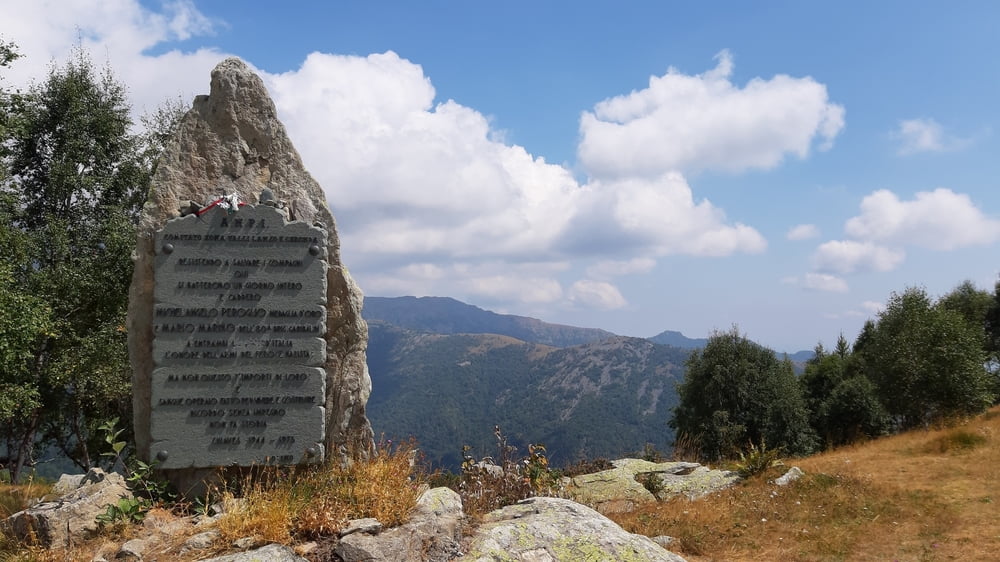
Lago di Monastero-Colle Gavietta (2080m)-
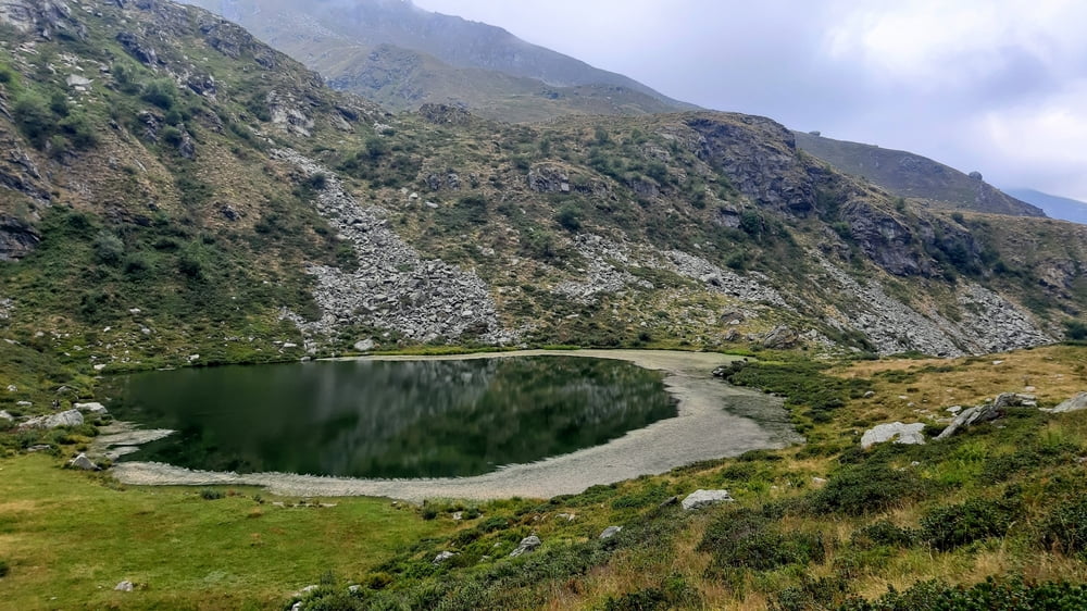
Lagi di Prafiorito-Rif Santa Pulenta
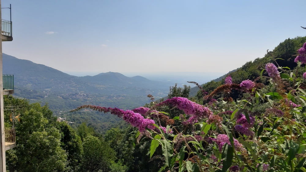
Heute war der Großteil bekannt und doch alles neu. Kurz vor Pessinetto steil rechts rauf. Ab Chiaves kenne ich die Strecke in die andere Richtung vom 26. Juli. Beim Wegpunkt Wechsel von Teer auf Schotter, weiter gut fahrbar bis kurz vorm Colle Gavietta.
Heftige Schiebung und Tragung bis runter zum Lago Prafiorito, ca 2h! Für knapp 300hm bergab auf einem Weg, den ich Dschungeltrail nenne. Tw nicht ungefährlich. Vom See weg eine rumpelige, steile Schotterstraße mit ein paar kleinen Gegenanstiegen runter bis zum Rifugio Santa Pulenta.
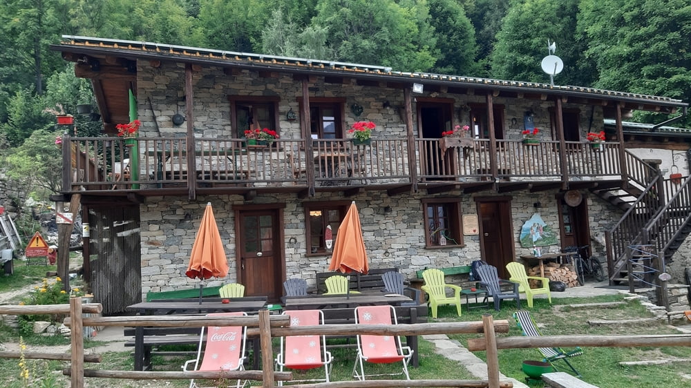
Ein wahres Kleinod! Wunderbare Hütte, sehr netter Wirt (Ennio), den ich schon vor 3 Wochen kennengelernt habe. Noch dazu zaubert er großartiges Essen auf den Tisch und vernetzt uns 5 Gäste sehr charmant, sodass es ein unvergesslicher Abend wird.
HP 85€, vale la pena!
Tour gallery
Tour map and elevation profile
Minimum height 505 m
Maximum height 2091 m
More about the tour author
|
|
mitter |
Comments

Start in Villa die Lemie von Villa Margherita.
GPS tracks
Trackpoints-
GPX / Garmin Map Source (gpx) download
-
TCX / Garmin Training Center® (tcx) download
-
CRS / Garmin Training Center® (crs) download
-
Google Earth (kml) download
-
G7ToWin (g7t) download
-
TTQV (trk) download
-
Overlay (ovl) download
-
Fugawi (txt) download
-
Kompass (DAV) Track (tk) download
-
Track data sheet (pdf) download
-
Original file of the author (gpx) download
More about the tour author
|
|
mitter |
Add to my favorites
Remove from my favorites
Edit tags
Open track
My score
Rate