


Rif. Fonti Minerali-Aosta
Rif. Fonti Minerali-Colle del Novolet (2612m)-Le Pont-
Villeneuve-Aosta
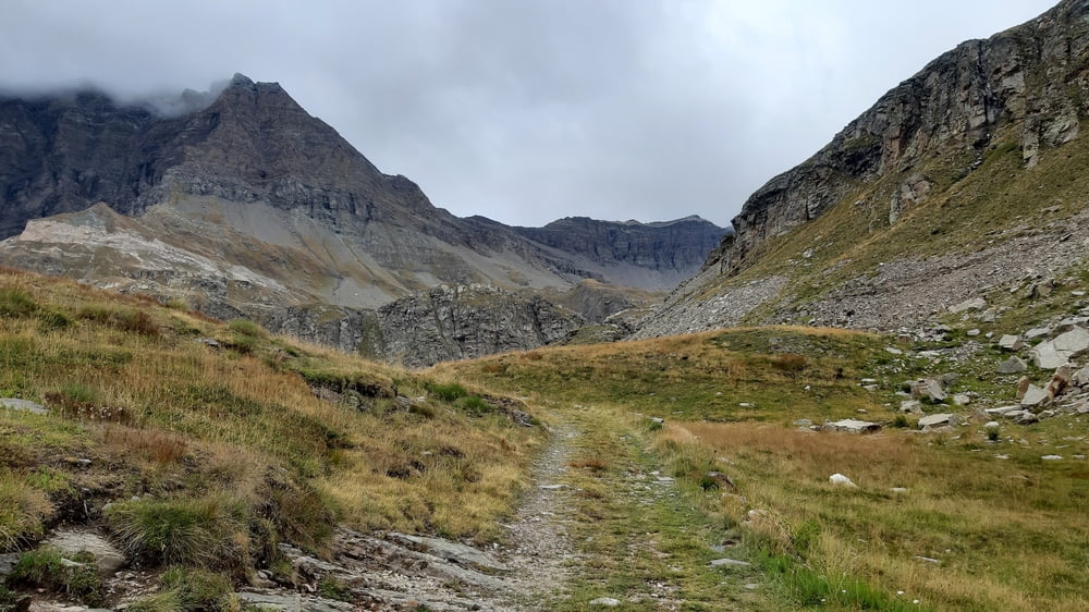
Vom Rifugio weg geht’s gleich steil zur Sache, knapp 100hm. Dann entspannt dem Stausee Ceresole entlang auf dem Radweg, dann auf die Straße. Zum Glück gibt es ab ca 1840m einen meist gut fahrbaren Weg abseits der Straße, ca 500hm.
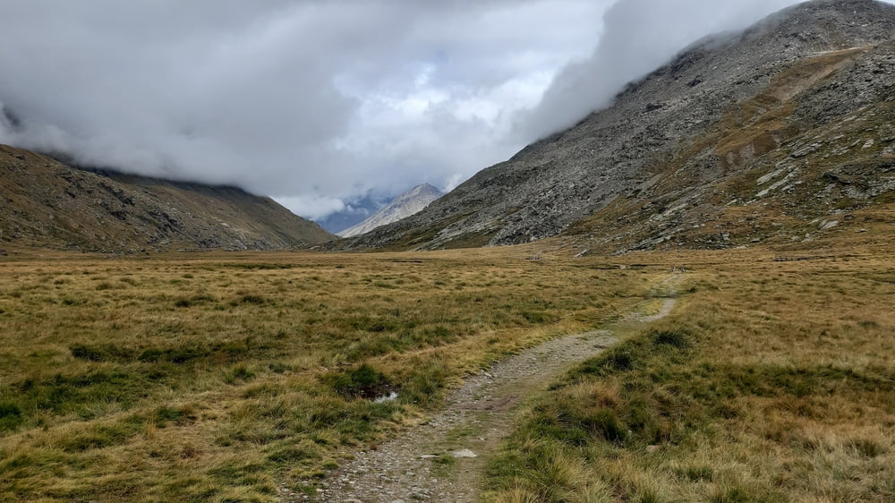
Dann die letzten ca 300hm wieder auf der Straße. Da beginnt es wieder leicht zu regnen, was sich am Pass schon wie Schnee anfühlt: kalt! Nach dem Rifugio Savoia rechts weg auf den trail dieses großen Almbodens.Nicht alles ist fahrbar, aber doch einiges.
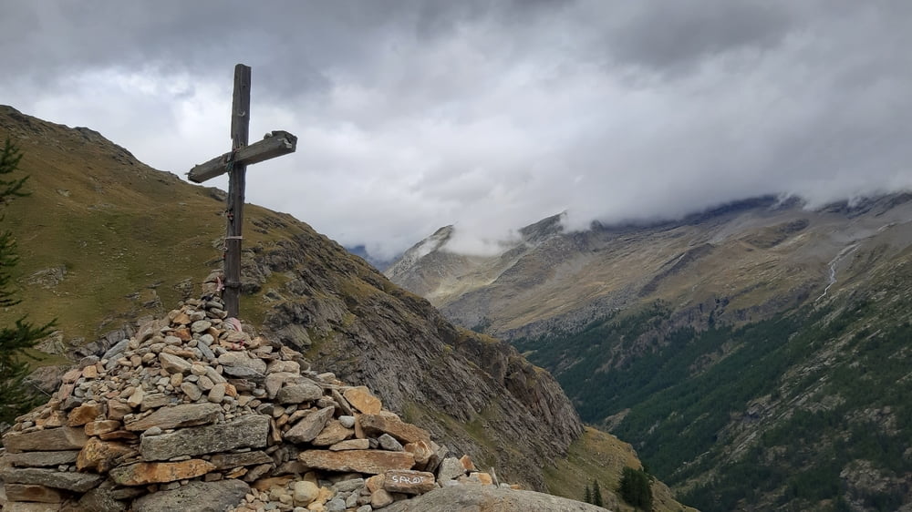
Ab dem Croce del Arolley (2313m) ist für mich ca eine gute halbe Stunde bis zum Campingplatz beim Albergo Gran Paradiso zu schieben. Von da weg Straße abwärts.In Aosta finde ich über eine besondere Fügung ein Quartier, noch dazu extrem günstig: Pilgerquartier bei den Suore di Aosta, N 25€! Mit Schlafsack dafür sehr geräumig und ruhig!
Tour gallery
Tour map and elevation profile
Minimum height 642 m
Maximum height 2612 m
More about the tour author
|
|
mitter |
Comments

Start beim Rif Fonti Minerali.
GPS tracks
Trackpoints-
GPX / Garmin Map Source (gpx) download
-
TCX / Garmin Training Center® (tcx) download
-
CRS / Garmin Training Center® (crs) download
-
Google Earth (kml) download
-
G7ToWin (g7t) download
-
TTQV (trk) download
-
Overlay (ovl) download
-
Fugawi (txt) download
-
Kompass (DAV) Track (tk) download
-
Track data sheet (pdf) download
-
Original file of the author (gpx) download
More about the tour author
|
|
mitter |
Add to my favorites
Remove from my favorites
Edit tags
Open track
My score
Rate