


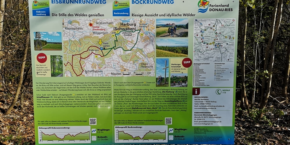
Es ist eine Wanderung aus dem kostenlosen Wanderheft vom Ferienland Donau-Ries. Eine Beschreibung gibt es auch online.
https://www.ferienland-donau-ries.de/wege/eisbrunnrundweg-2222/
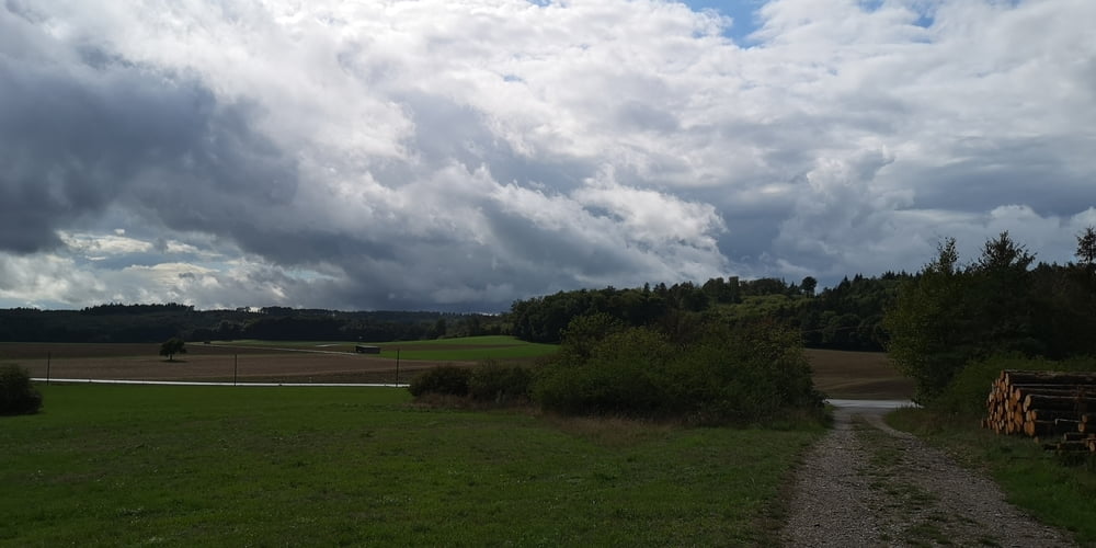
Dies hier ist die kurze Variante weil nach einer halben Stunde nach Start dunkle Wolken aufgezogen sind. Ich habe dann die Abkürzung genommen die die Strecke halbiert. Glück gehabt der Platzregen setzte erst ein als ich den Parkplatz erreichte.
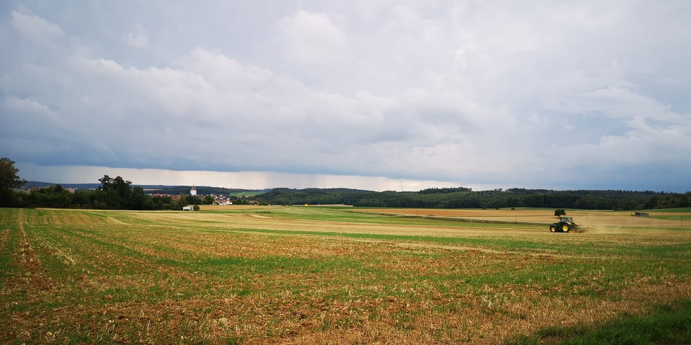
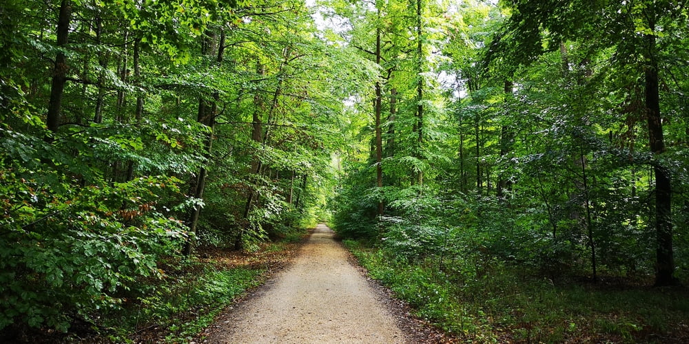
Die „halbe“ Strecke bietet alles was auch die ganze Strecke zu bieten hat. Alter schattiger Wald aber auch freie Sicht am Waldrand. Und danach die Einkehr in der Waldschänke.
Tour gallery
Tour map and elevation profile
Minimum height 527 m
Maximum height 593 m
More about the tour author
|
|
JoachimDief |
Comments

Start ist der Parkplatz der Waldschänke Eisbrunn.
Von der Harburg in Richtung Schaffhausen fahren und da im Wald den Wegweiser nach links zur Waldschänke folgen.
GPS tracks
Trackpoints-
GPX / Garmin Map Source (gpx) download
-
TCX / Garmin Training Center® (tcx) download
-
CRS / Garmin Training Center® (crs) download
-
Google Earth (kml) download
-
G7ToWin (g7t) download
-
TTQV (trk) download
-
Overlay (ovl) download
-
Fugawi (txt) download
-
Kompass (DAV) Track (tk) download
-
Track data sheet (pdf) download
-
Original file of the author (gpx) download
More about the tour author
|
|
JoachimDief |
Add to my favorites
Remove from my favorites
Edit tags
Open track
My score
Rate