


Entlang den Ufern von Donau, Ilz und Inn durch die Stadt Passau.
Hinweise: Leichte Tour. Geplant war der Weg vom Bschütt-Park über den Ilz-Steg, dieser war wegen Bauarbeiten leider gesperrt.
Start/Ziel: Parkhaus Bahnhofstraße
Markierung: keine
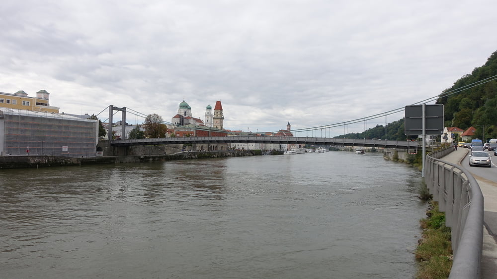
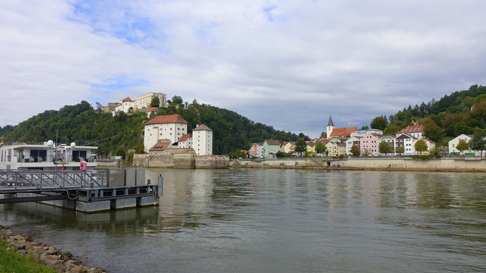
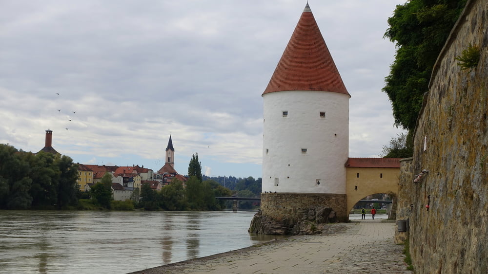
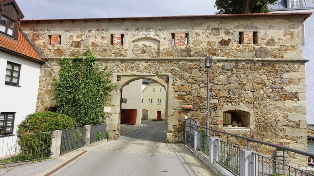
Route: Parkhaus Bahnhofstraße – Schanzlbrücke – Ludwigsteig – Bschütt-Park – Ilzbrücke – Kirche St. Bartholomäus – Ilz-Straßenbrücke – Prinzregent-Luitpold-Brücke (Hängebrücke) – Dreiflüsseeck– Innkai – Schaiblingsturm – Marienbrücke – Severinstor – Peichterturm – Innsteg – Klostergarten – Passau Hbf – Parkhaus Bahnhofstraße
POI: Schanzlbrücke – Ludwigsteig – Bschütt-Park – Kirche St. Bartholomäus – Prinzregent-Luitpold-Brücke (Hängebrücke) – Dreiflüsseeck – Schaiblingsturm – Innkai – Severinstor – Peichterturm – Innsteg – Klostergarten
Tour gallery
Tour map and elevation profile
Minimum height 293 m
Maximum height 347 m
More about the tour author

|
ejee |
Comments

GPS tracks
Trackpoints-
GPX / Garmin Map Source (gpx) download
-
TCX / Garmin Training Center® (tcx) download
-
CRS / Garmin Training Center® (crs) download
-
Google Earth (kml) download
-
G7ToWin (g7t) download
-
TTQV (trk) download
-
Overlay (ovl) download
-
Fugawi (txt) download
-
Kompass (DAV) Track (tk) download
-
Track data sheet (pdf) download
-
Original file of the author (gpx) download
More about the tour author
|
|
ejee |
Add to my favorites
Remove from my favorites
Edit tags
Open track
My score
Rate