

- Rundkurs gegen den Uhrzeigersinn.
- Start/Ziel: Castiglione della Pescaia/Camping: "Sans Sousi".
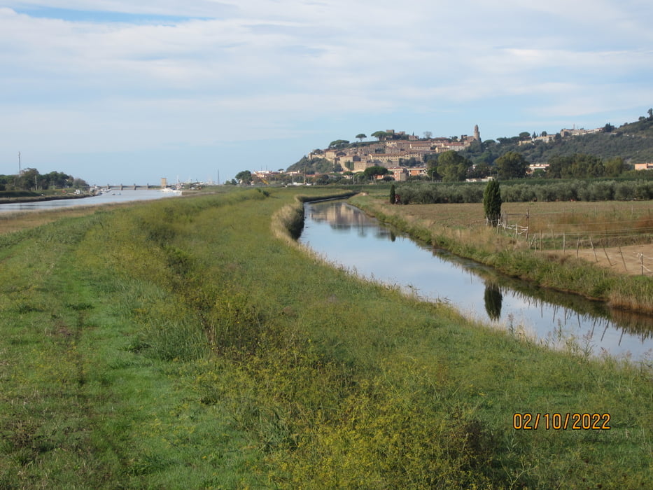
- Auf dem Radweg nach Castiglione della Pescaia.
- Weiter auf kaum einem Kanaldamm(Feldweg).
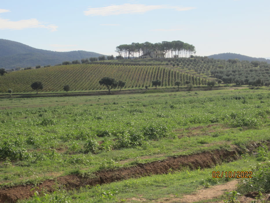
- Weiter auf kaum befahrenen asfaltierten Nebenstrassen.
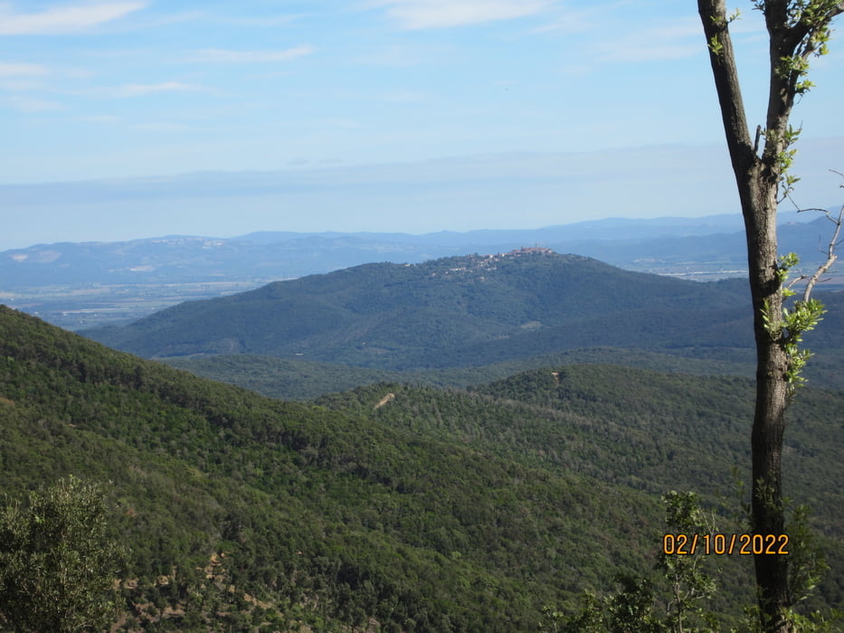
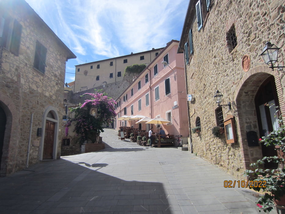
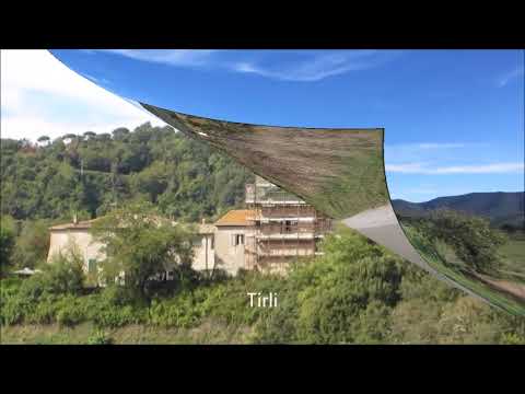
- Aufstieg auf kaum befahrener, angenehm ansteigender Asfalt-Strasse zum verschlafenen Bergdorf "Tirli" (KM 21,7 - MH 435). Bar + Trattoria vorhanden.
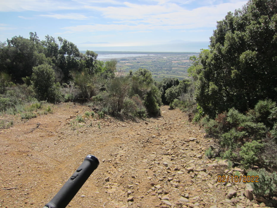
- KM 25,1 - MH 561 Beginn des Schotterweges zurück ins Tal.
- Bis KM 28,9 - MH 134 teils ruppiger, ausgewaschener, mit grossen Steinen übersäter Weg.
- S0-S1.
- Auf einer Strecke von ca. 1,5 KM steil abfallend + S2. Habe geschoben und den wunderbaren Ausblick auf Castiglione della Pescaia, die Lagune, den Regionalpark Maremma, dem Monte Argentario und das Umland von Grosseto genossen.
- Während des Aufstiegs nach Tirli hat man wenig Ausblick auf die Umgebung.
Tour gallery
Tour map and elevation profile
Minimum height 50 m
Maximum height 561 m
More about the tour author
|
|
MargesinFriedrich |
Comments

GPS tracks
Trackpoints-
GPX / Garmin Map Source (gpx) download
-
TCX / Garmin Training Center® (tcx) download
-
CRS / Garmin Training Center® (crs) download
-
Google Earth (kml) download
-
G7ToWin (g7t) download
-
TTQV (trk) download
-
Overlay (ovl) download
-
Fugawi (txt) download
-
Kompass (DAV) Track (tk) download
-
Track data sheet (pdf) download
-
Original file of the author (gpx) download
More about the tour author
|
|
MargesinFriedrich |
Add to my favorites
Remove from my favorites
Edit tags
Open track
My score
Rate