

- Rundkurs gegen den Uhrzeigersinn.
- Start/Ziel: Castiglione della Pescaia - Camping "Sans Souci".
- Bis KM 11 einradeln auf kaum befahrenen Nebenstrassen/Asfalt.
- Von KM 11 - KM 19,47 - MH424 gehts auf teisweise steilem Forstweg hoch zur Militärbasis. Stellenweise unruhiger, steiniger Strassenbelag.
- Von KM 22,3 - MH 533 auf teils flowigem, teils steinigem Waldweg bis KM 27,4 - MH 134.
- Auf gutem weg hoch zur Einsiedelei "San Guglielmo di Malavalle". KM 28,7 - MH 224.
- Weiter auf gutem Weg den Berghang entlang bis KM 34 -MH 329.
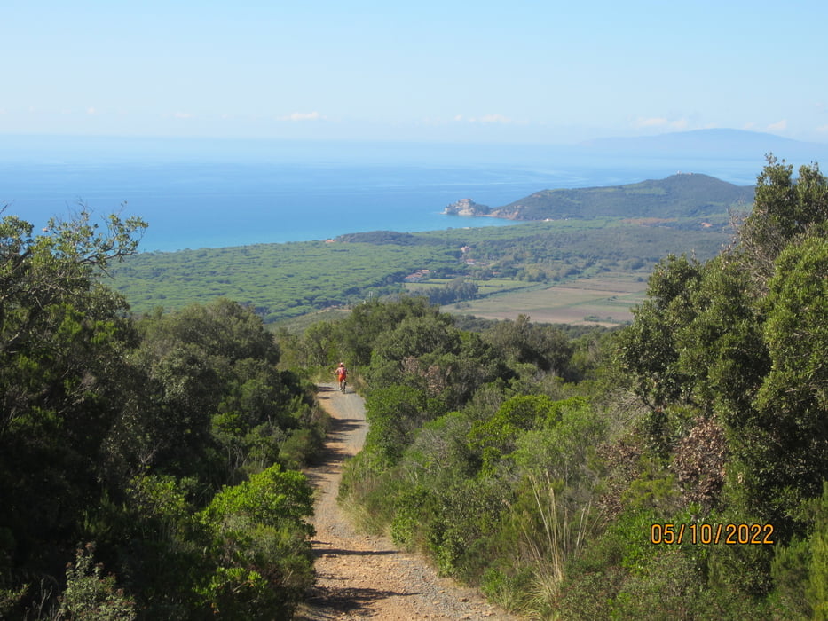
- Abfahrt auf Schotterwg(Abschnitte S1) bis KM 37,7 -MH 50.
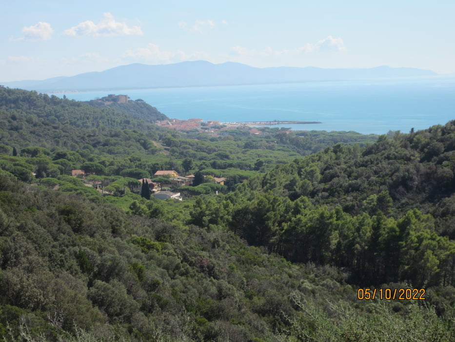
- Den Rest der Strecke auf Asfalt, bzw. Radweg.
- Keine Trattoria/Bar. Keine Wasserstelle.
- Mit dem E-MTB/Fully ist diese schöne Tour von einem S1 Fahrer ohne grössere Probleme zu bewältigen.
- Ohne E-MTB erfordern die seilen, teils steinigen Anstiege viel Kraft und Kondition.
- Die Tour ist eine S1 Tour mit kurzen S2 Abschnitten.
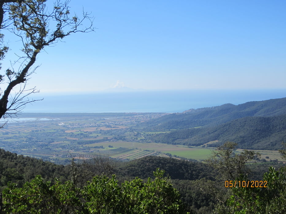
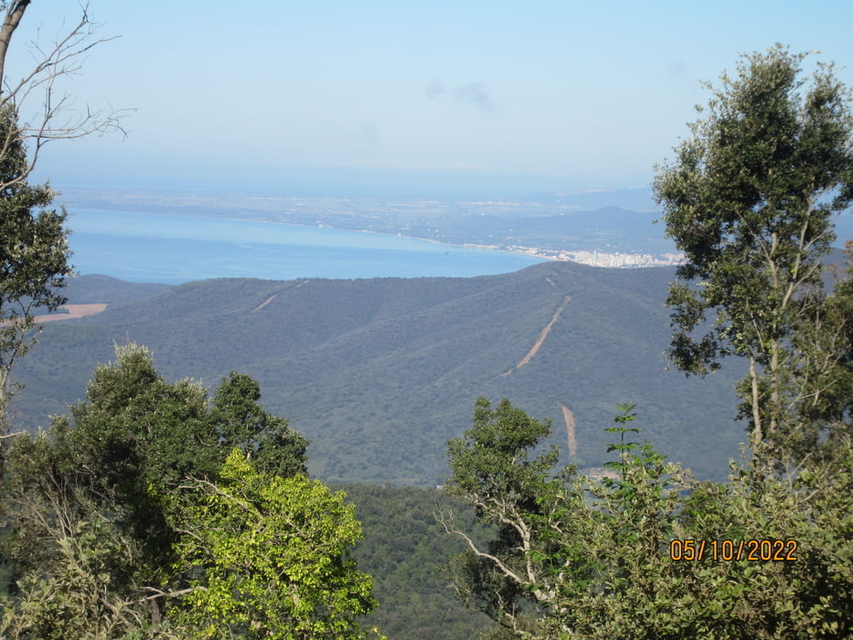
- Super 180 Grad Rundblick.
Tour gallery


Tour map and elevation profile
Minimum height -2 m
Maximum height 603 m
More about the tour author
|
|
MargesinFriedrich |
Comments

GPS tracks
Trackpoints-
GPX / Garmin Map Source (gpx) download
-
TCX / Garmin Training Center® (tcx) download
-
CRS / Garmin Training Center® (crs) download
-
Google Earth (kml) download
-
G7ToWin (g7t) download
-
TTQV (trk) download
-
Overlay (ovl) download
-
Fugawi (txt) download
-
Kompass (DAV) Track (tk) download
-
Track data sheet (pdf) download
-
Original file of the author (gpx) download
More about the tour author
|
|
MargesinFriedrich |
Add to my favorites
Remove from my favorites
Edit tags
Open track
My score
Rate