


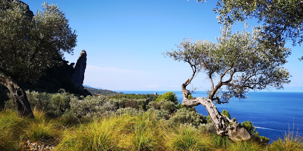
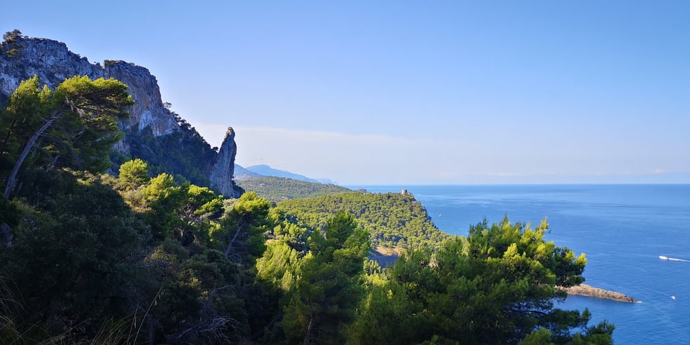
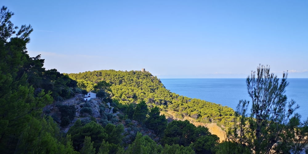
Die Wanderung ist nicht schwierig und bietet Gelegenheit die nördliche Küste von Port de Sóller kennenzulernen. Wer noch nicht den Piratenausguck-Turm besucht hat sollte einen Abstecher dahin unternehmen (https://www.gps-tour.info/de/touren/detail.46096.html). Ist hier nicht Teil der Wanderung aber wenn man zurückblickt oder auf den Rückweg ist kann man den Turm schon sehen.
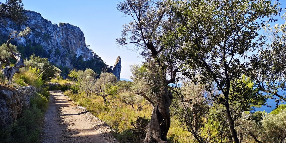
Man könnte die Wanderung noch fortsetzen. Der Weg ist dann allerdings schmal und wird dann später ein ganz anderes Kaliber mit Klettereinlagen. Deshalb die Warnschilder vorher! https://www.gps-tour.info/de/touren/detail.162008.html
Tour gallery
Tour map and elevation profile
Minimum height -9 m
Maximum height 235 m
More about the tour author
|
|
JoachimDief |
Comments

Port de Sóller, Endstation der Straßenbahn.
GPS tracks
Trackpoints-
GPX / Garmin Map Source (gpx) download
-
TCX / Garmin Training Center® (tcx) download
-
CRS / Garmin Training Center® (crs) download
-
Google Earth (kml) download
-
G7ToWin (g7t) download
-
TTQV (trk) download
-
Overlay (ovl) download
-
Fugawi (txt) download
-
Kompass (DAV) Track (tk) download
-
Track data sheet (pdf) download
-
Original file of the author (gpx) download
More about the tour author
|
|
JoachimDief |
Add to my favorites
Remove from my favorites
Edit tags
Open track
My score
Rate