

- Rundkurs im Uhrzeigersinn.
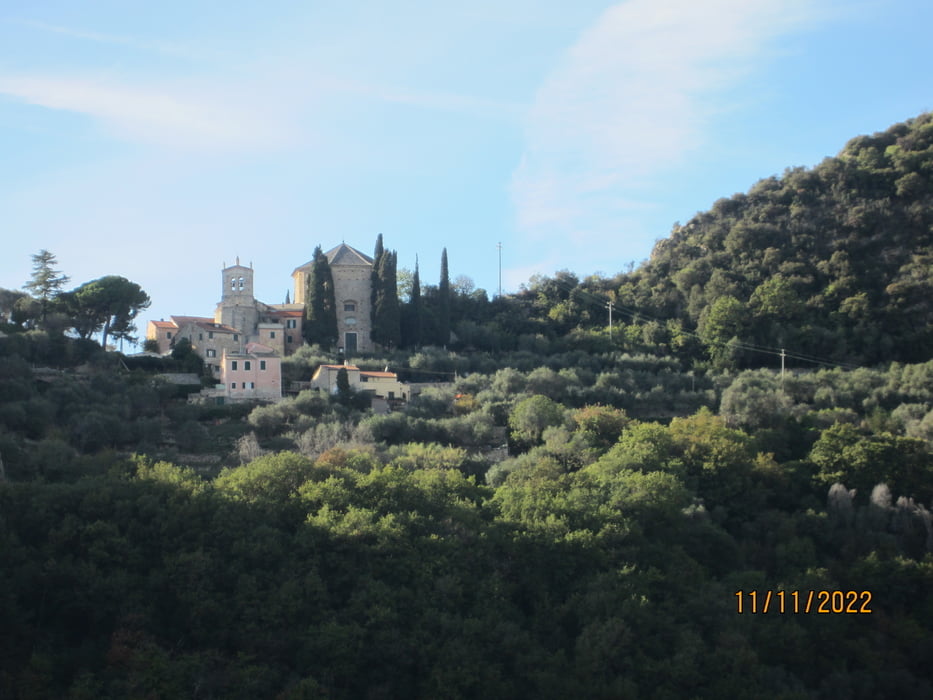
- Start: Perti, Camping Outdoor Freeride.
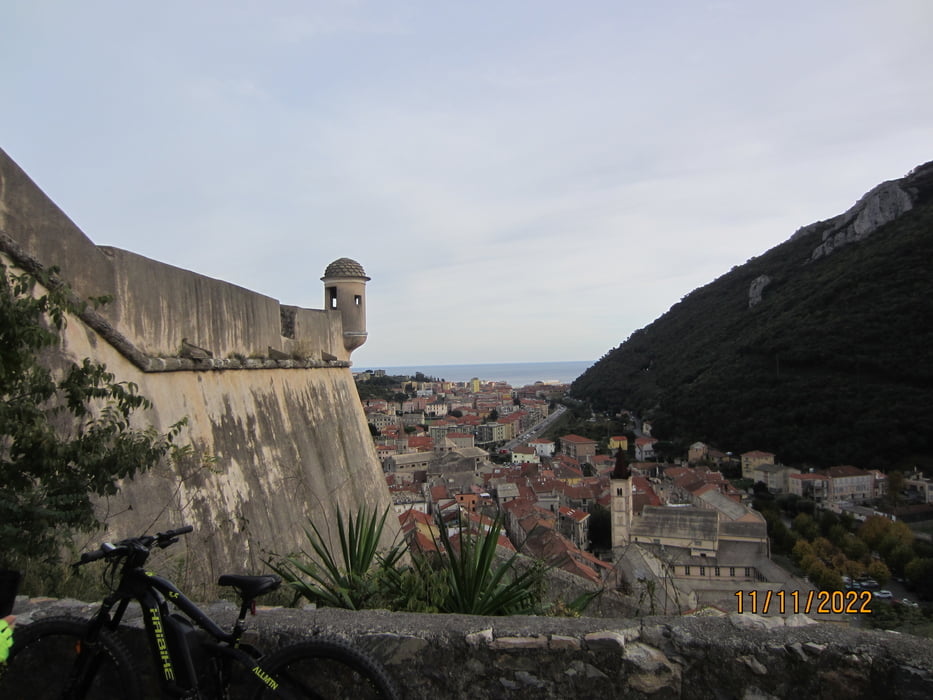
- Ziel: Finalborgo, Eisdiele: Cafe Centrale.
- Bis Calice Ligure KM 2,7-MH 46. auf mässig befahrener Provinzstrasse.
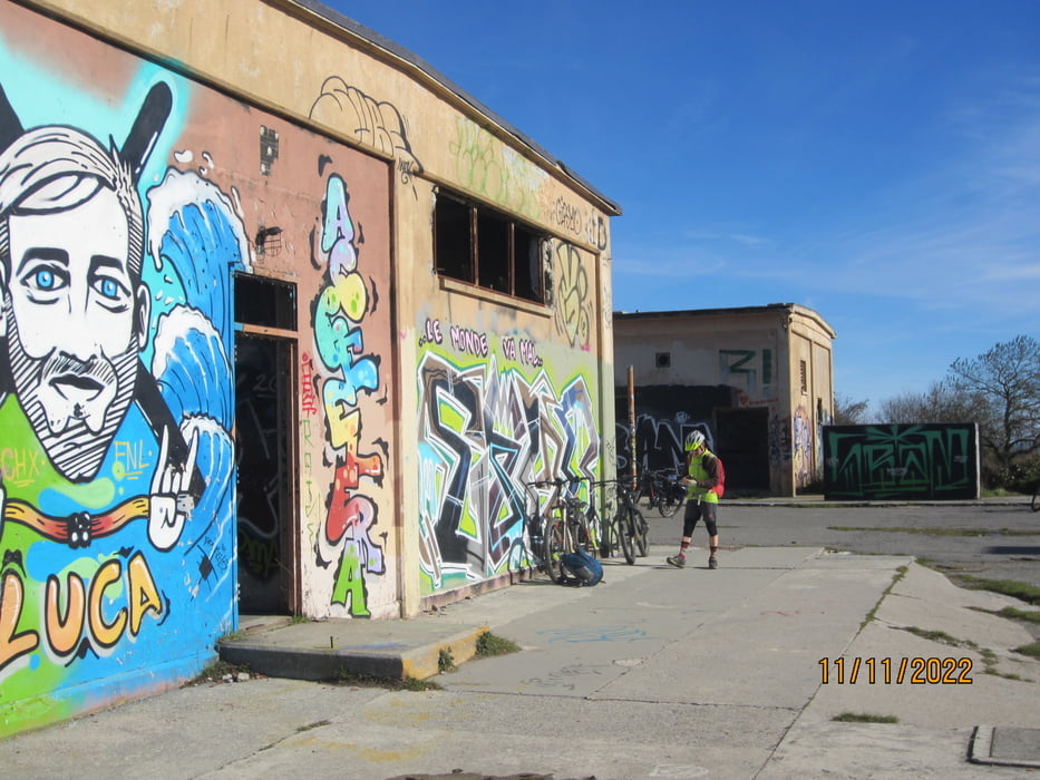
- Weiter auf Asfalt, angenehm ansteigend bis mittelsteil auf kaum befahrener Asfaltstrasse bis zur aufgelassenen Nato Basis KM 17,3 MH 980.
- Abfahrt auf Asfalt bis KM 21,2 - MH 714 (Beginn Schotterweg).
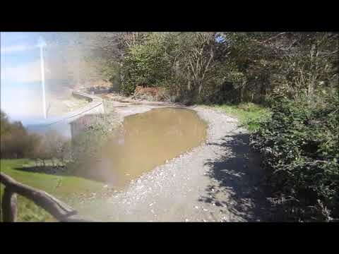
- Fast ebener Schotterweg "Alta Via dei Monti Liguri" bis KM 26,5 - MH 764.
- Weiter auf Schotterweg(stellenweise geröllig) bis hinunter nach Feglino KM 32,7 - MH 350.
- Von Felglino auf kaum befahrenem Asfaltweg, durch die Olivenhaine talwärts bis zur Provinzstrasse(wenig Verkehr) KM 36,9 - MH86.
- Endstation: Finalborgo: Eisdiele Cafe Centrale KM 40,3.
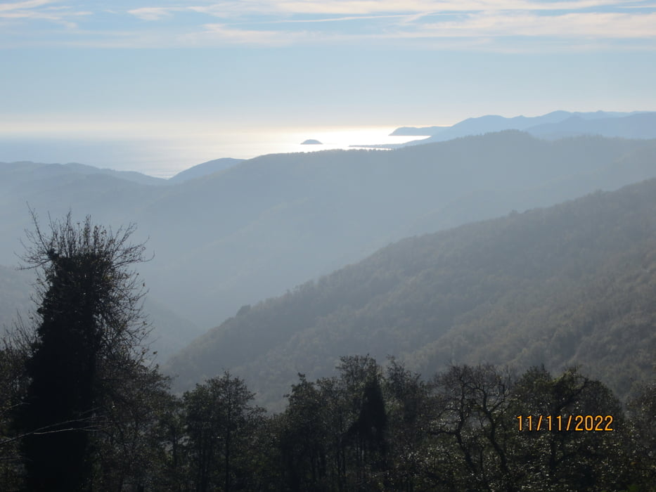
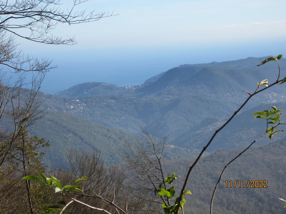
- Die Tour führt durch helle Buchenwälder. Schöne Panorama-Rundblicke.
Tour gallery
Tour map and elevation profile
Minimum height 5 m
Maximum height 980 m
More about the tour author
|
|
MargesinFriedrich |
Comments

GPS tracks
Trackpoints-
GPX / Garmin Map Source (gpx) download
-
TCX / Garmin Training Center® (tcx) download
-
CRS / Garmin Training Center® (crs) download
-
Google Earth (kml) download
-
G7ToWin (g7t) download
-
TTQV (trk) download
-
Overlay (ovl) download
-
Fugawi (txt) download
-
Kompass (DAV) Track (tk) download
-
Track data sheet (pdf) download
-
Original file of the author (gpx) download
More about the tour author
|
|
MargesinFriedrich |
Add to my favorites
Remove from my favorites
Edit tags
Open track
My score
Rate