


- Rundkurs im Uhrzeigersinn.
- Start/Ziel: Montichiello-Agricamping Podere"Il Casale".
- Vom Podere "Il Casale" auf Schotter richtung Montichiello. Ein Abstecher in das mittelalterliche Städtchen lohnt sich.
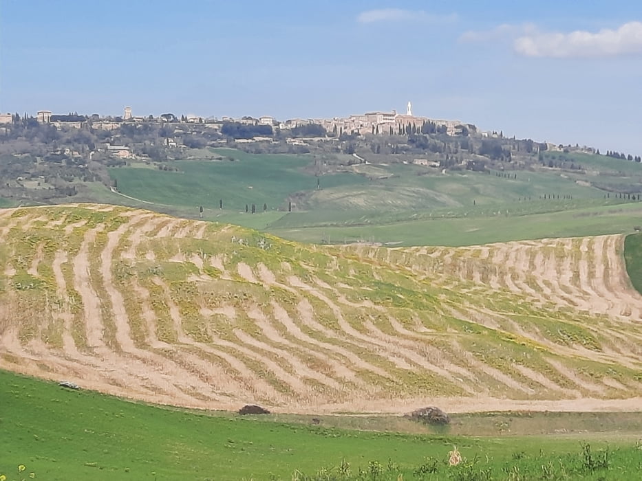
- Weiter auf Schotter/Asfalt durch vom Ackerbau geprägte Landschaft bis Castiglione d`Orcia. Ca. 2 KM auf breiter Regionalstrasse mit schmalem Seitenstreifen. Am 22.3.23 wenig Verkehr.
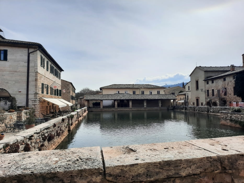
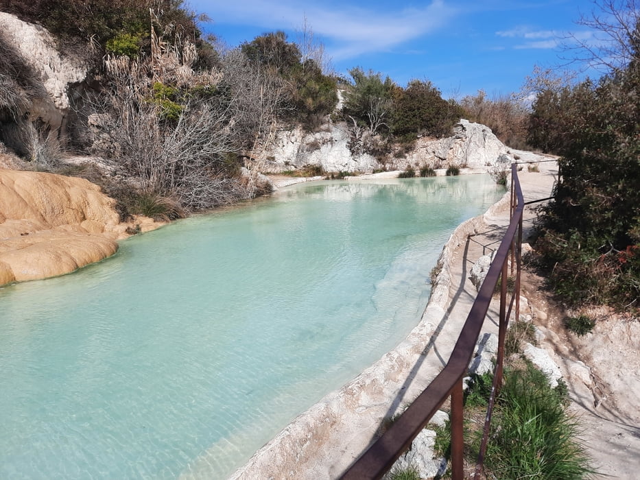
- Von Castiglione d`Orcia auf mässig befahrener Provinzstrasse bis zu den Thermalquellen von Bagno Vignoni. Mehrere Einkehrmöglichkeiten im Zentrum. Unterhalb des Zentrums frei zugängliche Becken mit schwefelhaltigem, warmem Wasser.
- Ein kurzes Stück weiter auf der Provinzstrasse. Anschliessend auf Schotter bis Pienza/Agricamping"Podere Il Casale".
- Bin die Tour mit dem E-MTB gefahren.
- Einige steile Abschnitte.
- Bei Km. 22 nicht rechts nach Galina abbiegen. Der 40 cm tiefe Bach war nicht durchquerbar.
Tour gallery

Tour map and elevation profile
Minimum height 220 m
Maximum height 494 m
More about the tour author
|
|
MargesinFriedrich |
Comments

GPS tracks
Trackpoints-
GPX / Garmin Map Source (gpx) download
-
TCX / Garmin Training Center® (tcx) download
-
CRS / Garmin Training Center® (crs) download
-
Google Earth (kml) download
-
G7ToWin (g7t) download
-
TTQV (trk) download
-
Overlay (ovl) download
-
Fugawi (txt) download
-
Kompass (DAV) Track (tk) download
-
Track data sheet (pdf) download
-
Original file of the author (gpx) download
More about the tour author
|
|
MargesinFriedrich |
Add to my favorites
Remove from my favorites
Edit tags
Open track
My score
Rate