

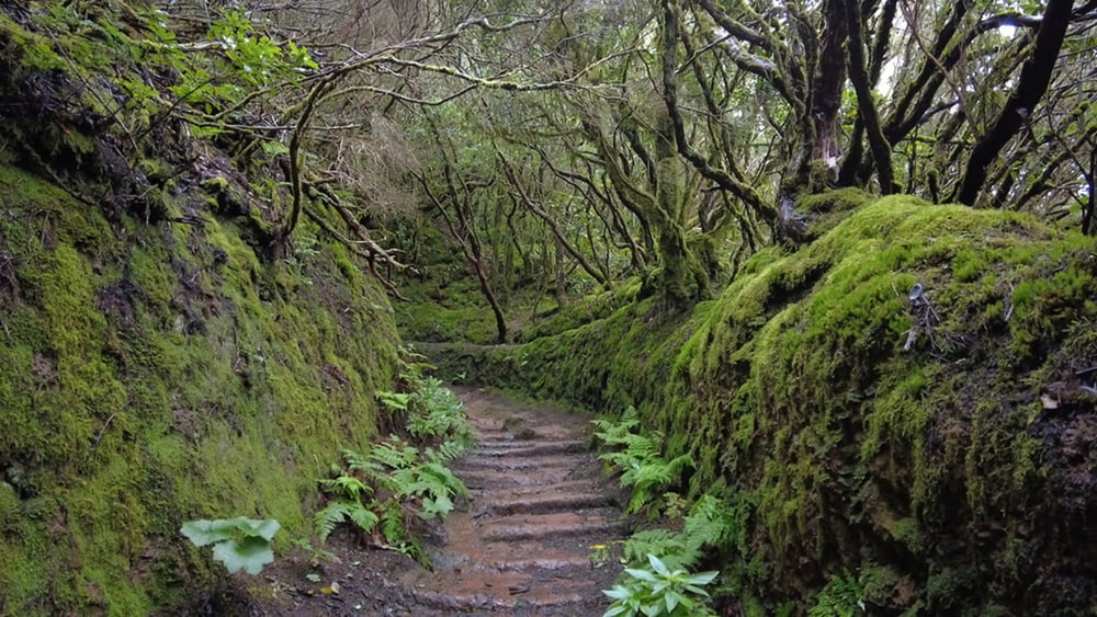
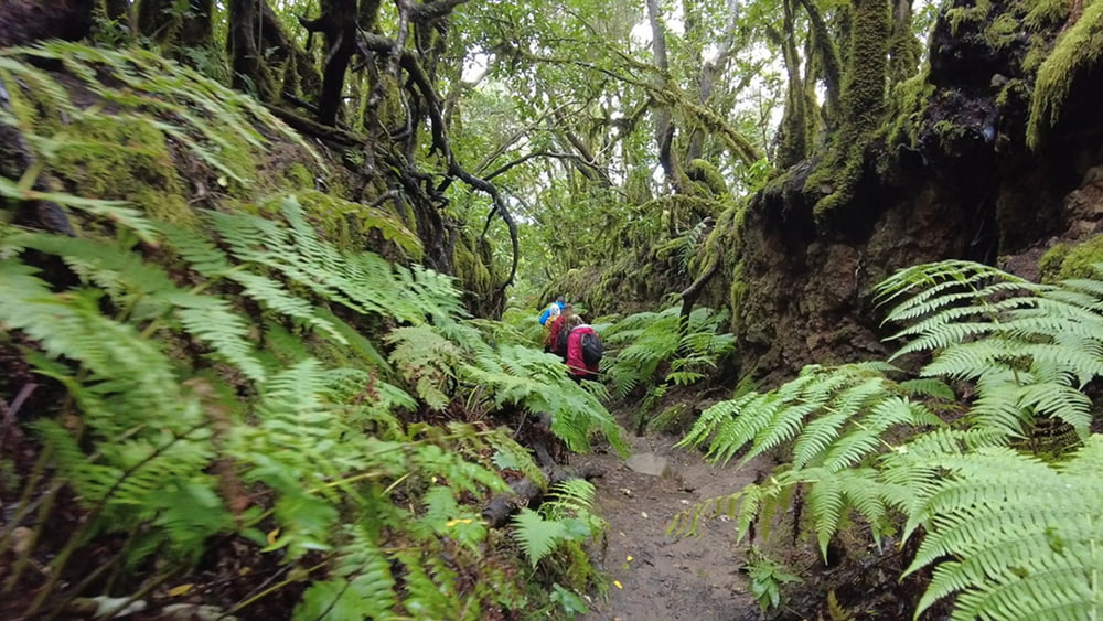
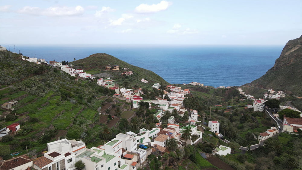
Unmittelbar hinter dem Forsthaus beginnt der markierte Wanderweg, zu einem Sattel unterhalb des Roque de los Pasos. Von dort geht es über unzählige Serpentinen in Richtung Küste. Schnell gelangen wir oberhalb von Taganana in das landwirtschaftlich genutzte Gebiet mit seinen Obstbäumen und Terrassenfelder, bepflanzt mit Wein und Kartoffeln. Nach den Nutzflächen erreichen wir den Ort. Wir steigen hinab zur Kirche und schlagen von dort den Rückweg ein. Der Anstieg führt uns hinauf nach La Cumbrecilla, von dort geht es über befestigte Forstwege zurück zum Ausgangspunkt.
Tour gallery
Tour map and elevation profile
Minimum height 5 m
Maximum height 865 m
More about the tour author
|
|
schleidy |
Comments

GPS tracks
Trackpoints-
GPX / Garmin Map Source (gpx) download
-
TCX / Garmin Training Center® (tcx) download
-
CRS / Garmin Training Center® (crs) download
-
Google Earth (kml) download
-
G7ToWin (g7t) download
-
TTQV (trk) download
-
Overlay (ovl) download
-
Fugawi (txt) download
-
Kompass (DAV) Track (tk) download
-
Track data sheet (pdf) download
-
Original file of the author (gpx) download
More about the tour author
|
|
schleidy |
Add to my favorites
Remove from my favorites
Edit tags
Open track
My score
Rate