Login

Forgot your login?

Cookies have to be accepted!
Your browser's cookie functionality is disabled. Please enable this functionality.

Not a member yet?

Register now
Login

Available for registred users only

Log in to use this feature.

Forgot your login?

Cookies have to be accepted!
Your browser's cookie functionality is disabled. Please enable this functionality.

Not a member yet?

Register now
Filter
Categories
Advanced filters
  • Distance (km)
  • Height
Save filters Reset filter

TrackRank

QRCode

Technical data

Distance9,9 km Height328 m Way down698 m Duration04:30 h:m Date06.02.2023
Scores Author Landscape Fun factor Fitness Technique

Statistics

149 Views Scores 4 Downloads Average
Rate
  • Track data sheet
  • Directions
  • Downloads
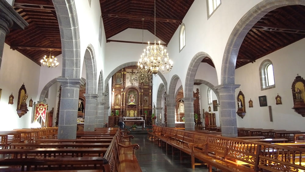
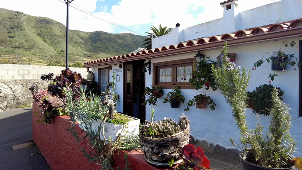
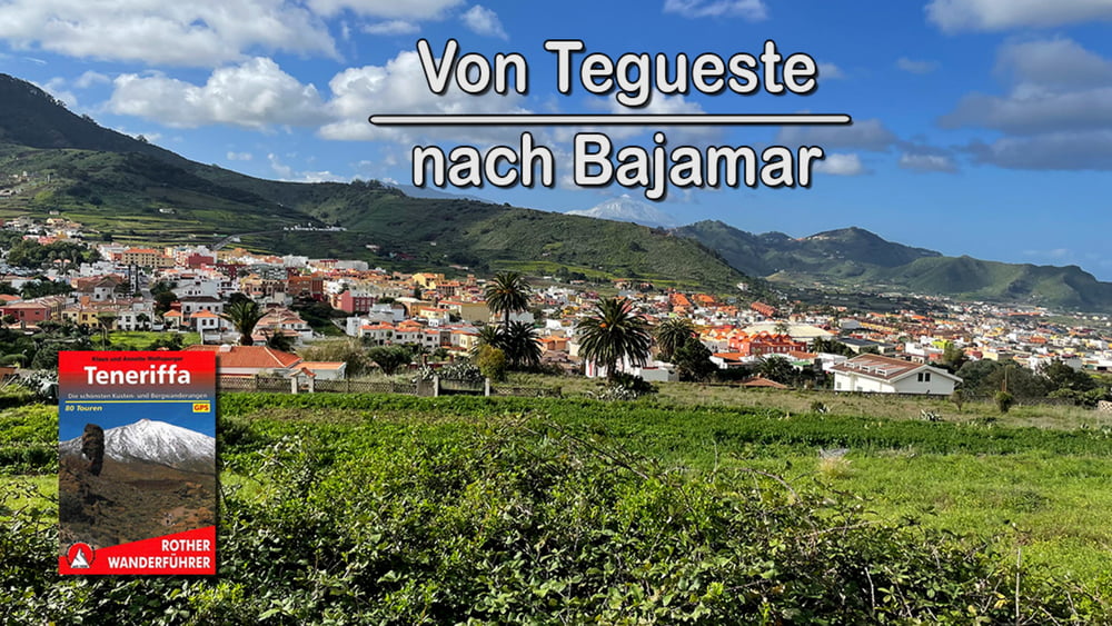
Der Start der Wanderung ist also an der Plaza de San Marcos und unser Ziel ist der Ort Bajamar. Somit handelt es sich diese Mal nicht um eine Rundwanderung. Wir verlassen Tegueste und steigen auf den Mesa de Tejina hinauf unser höchster Punkt der Wanderung. Vom Talberg verläuft die Wanderung nun tendenziell immer abwärts nach Bajamar unserem Ziel. Zurück nach Tegueste geht es dann mit dem Linienbus.

Tour gallery

Tour map and elevation profile

  • Open Street Map
  • Google
Minimum height 30 m Maximum height 622 m Detailed view

More about the tour author

schleidy
Member since 2013

Send private message

Comments

GPS tracks

Trackpoints
  • GPX / Garmin Map Source (gpx) download
  • TCX / Garmin Training Center® (tcx) download
  • CRS / Garmin Training Center® (crs) download
  • Google Earth (kml) download
  • G7ToWin (g7t) download
  • TTQV (trk) download
  • Overlay (ovl) download
  • Fugawi (txt) download
  • Kompass (DAV) Track (tk) download
  • Track data sheet (pdf) download
  • Original file of the author (gpx) download

More about the tour author

schleidy
Member since 2013

Send private message
Share track
Add to my favorites
Remove from my favorites
Edit tags
My score
Rate
Track: Teneriffa: Wanderung von Teguest nach Bajamar
Type: Hiking
Distance: 9,9 km
Evaluated on:
Duration:
Day(s)
Hour(s)
Minute(s)
Score: Landscape Fun factor Fitness Technique