


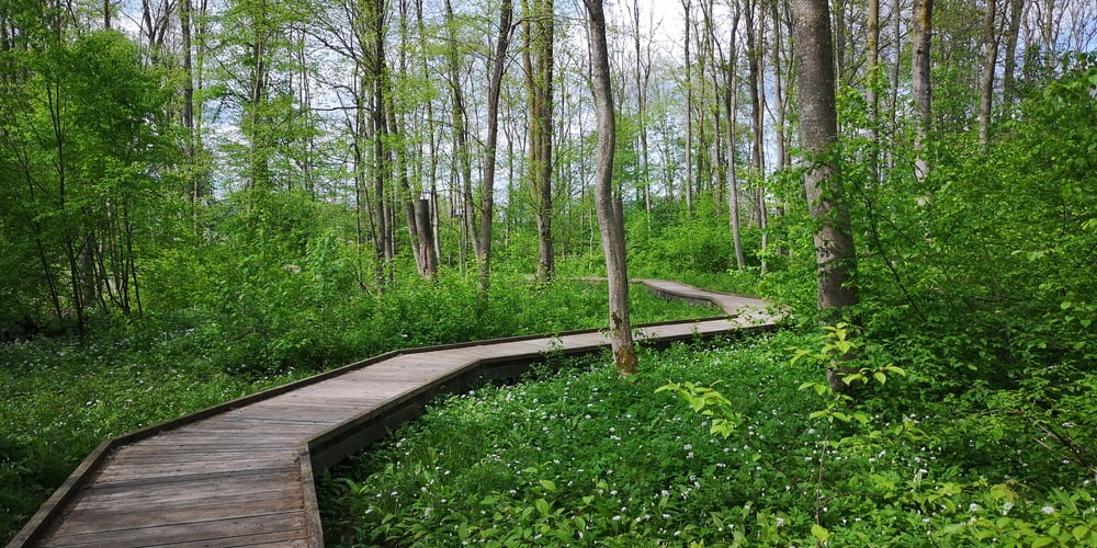
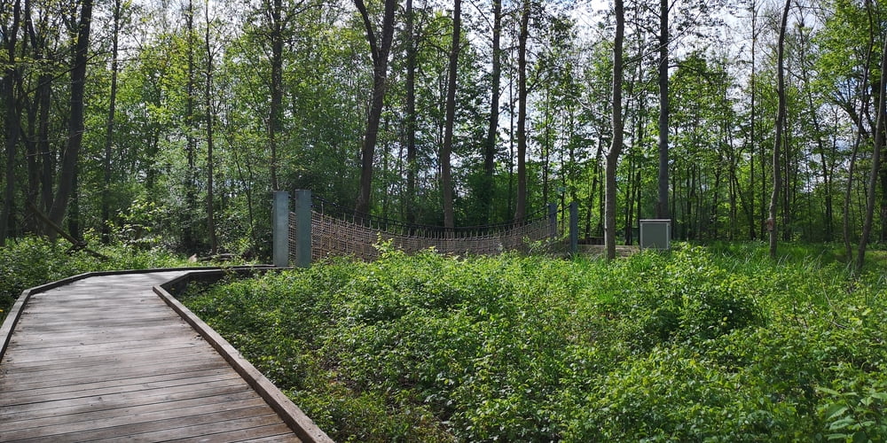
Eine einfache schöne Familienwanderung für ca. 1 Stunde. Ich habe die Wanderung in Frühjahr gemacht als der Bärlauch wuchs. Die Bäume haben noch keine Blätter aber der Boden ist schon grün durch den Bärlauch. Ein Bohlenweg geht mitten durch den Bärlauch. Es gibt eine kleine Hängebrücke die aber mit einem Kinderwagen nicht passierbar ist. Mit Kinderwagen muss man die Hängebrücke umgehen.
Tour gallery

Tour map and elevation profile
Minimum height 427 m
Maximum height 460 m
More about the tour author
|
|
JoachimDief |
Comments

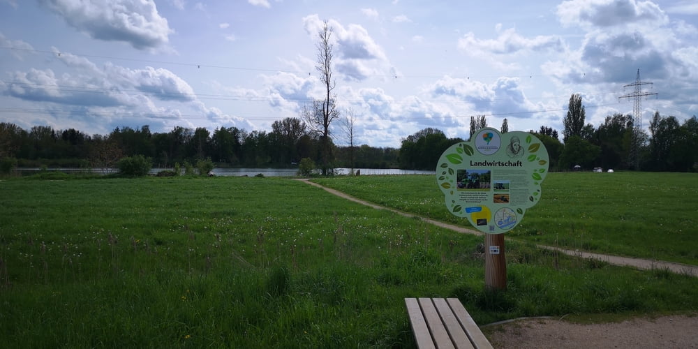
Nach Höchstädt zum Schloss fahren. Da gibt es einige Parkplätze und auch einen Info-Pavillon wo man sich ein Info-Flyer vom Herzogin Anna Rundweg holen kann.
https://www.vg-hoechstaedt.de/wp-content/uploads/bsk-pdf-manager/2021/12/Flyer-HAR-Web.pdf
GPS tracks
Trackpoints-
GPX / Garmin Map Source (gpx) download
-
TCX / Garmin Training Center® (tcx) download
-
CRS / Garmin Training Center® (crs) download
-
Google Earth (kml) download
-
G7ToWin (g7t) download
-
TTQV (trk) download
-
Overlay (ovl) download
-
Fugawi (txt) download
-
Kompass (DAV) Track (tk) download
-
Track data sheet (pdf) download
-
Original file of the author (gpx) download
More about the tour author
|
|
JoachimDief |
Add to my favorites
Remove from my favorites
Edit tags
Open track
My score
Rate