


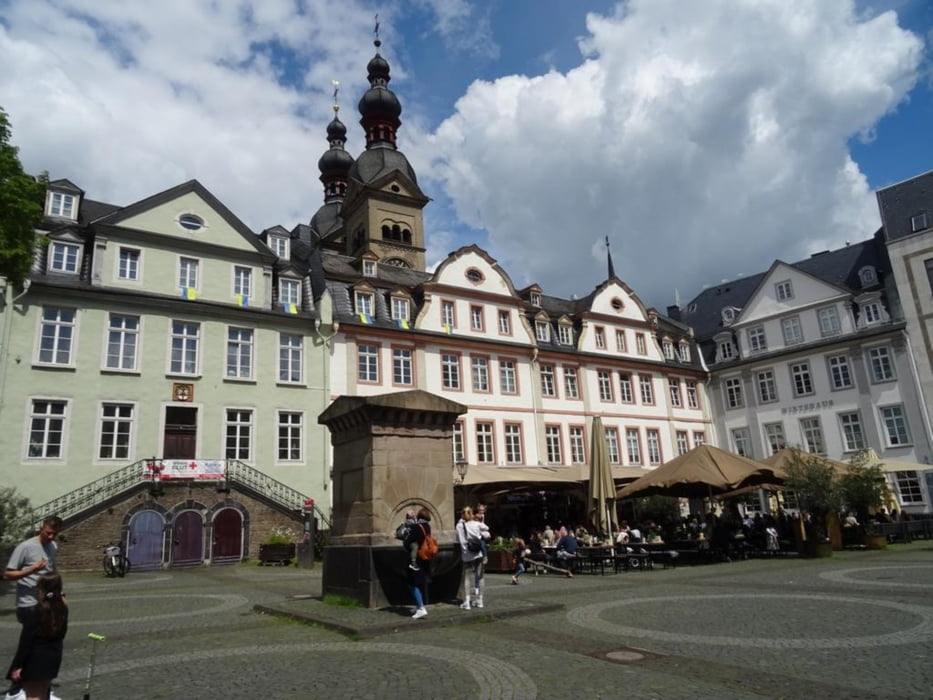
Vom Koblenzer Hauptbahnhof mache ich zuerst einen kleinen Abstecher zum Hauptfriedhof. Dieser ist als immaterielles Erbe der Friedhofskultur geschützt. Danach geht es weiter zum Koblenzer Stadtteil Güls. Nach einer Runde durch Wiesen und Wälder führt der Weg zur Mosel. Auf dem Moselradweg wandere ich zurück zur Koblenzer Innenstadt. Dort besuche ich die Touristen Information im Forum Confluentes und dann geht es zurück zum Hauptbahnhof.
Further information at
https://sonntagswandern.de/koblenzer-moselrunde-zu-den-weinbergen-14-mai-2023/Tour gallery
Tour map and elevation profile
Minimum height 86 m
Maximum height 165 m
More about the tour author

|
Sonntagswanderin |
Comments

mit der Bahn zum Koblenzer Hauptbahnhof
GPS tracks
Trackpoints-
GPX / Garmin Map Source (gpx) download
-
TCX / Garmin Training Center® (tcx) download
-
CRS / Garmin Training Center® (crs) download
-
Google Earth (kml) download
-
G7ToWin (g7t) download
-
TTQV (trk) download
-
Overlay (ovl) download
-
Fugawi (txt) download
-
Kompass (DAV) Track (tk) download
-
Track data sheet (pdf) download
-
Original file of the author (gpx) download
More about the tour author
|
|
Sonntagswanderin |
Add to my favorites
Remove from my favorites
Edit tags
Open track
My score
Rate