Login

Forgot your login?

Cookies have to be accepted!
Your browser's cookie functionality is disabled. Please enable this functionality.

Not a member yet?

Register now
Login

Available for registred users only

Log in to use this feature.

Forgot your login?

Cookies have to be accepted!
Your browser's cookie functionality is disabled. Please enable this functionality.

Not a member yet?

Register now
Filter
Categories
Advanced filters
  • Distance (km)
  • Height
Save filters Reset filter

TrackRank

QRCode

Technical data

Distance59,8 km Height1249 m Way down1247 m Duration06:00 h:m Date20.05.2023
Scores Author Landscape Fun factor Fitness Technique

Statistics

180 Views Scores 3 Downloads Average
Rate
  • Track data sheet
  • Directions
  • Downloads

Start der Tour ist beim Bahnhof in Großraming.

Auf dem R9 Radweg verläuft die Strecke durch Lumpelgraben nach Brunnbach.

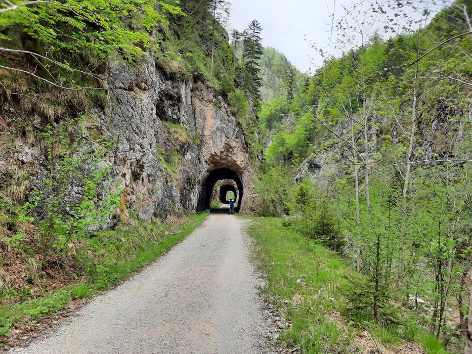
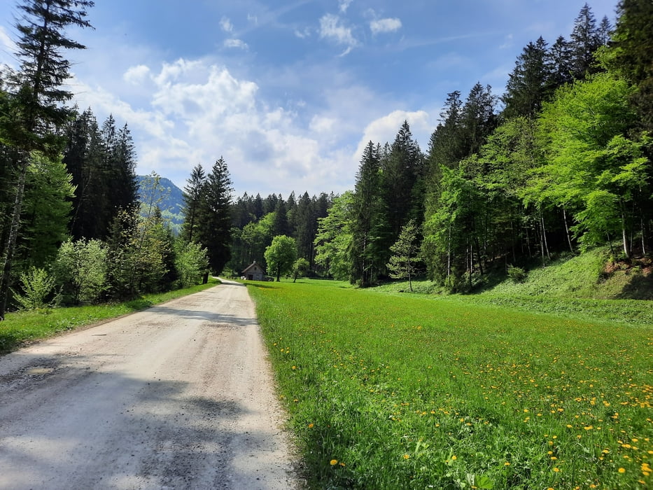
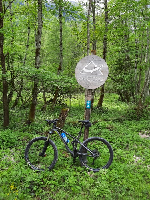
Ab Brunnbach auf der MTB-Strecke auf die Anlaufalm, und von dieser hinunter Richtung ehemalige Waldbahntrasse.

Vorbei an der Klaushütte und dem Schleierfall nach Reichraming, und auf dem R7 Radweg zurück nach Großraming.

Further information at

https://www.anlaufalm.at/

Tour gallery

Tour map and elevation profile

  • Open Street Map
  • Google
Minimum height 348 m Maximum height 978 m Detailed view

More about the tour author

kersti
Member since 2012

Send private message

Comments

Parkmöglichkeit Bahnhof Großraming

GPS tracks

Trackpoints
  • GPX / Garmin Map Source (gpx) download
  • TCX / Garmin Training Center® (tcx) download
  • CRS / Garmin Training Center® (crs) download
  • Google Earth (kml) download
  • G7ToWin (g7t) download
  • TTQV (trk) download
  • Overlay (ovl) download
  • Fugawi (txt) download
  • Kompass (DAV) Track (tk) download
  • Track data sheet (pdf) download
  • Original file of the author (gpx) download

More about the tour author

kersti
Member since 2012

Send private message
Share track
Add to my favorites
Remove from my favorites
Edit tags
My score
Rate
Track: Nationalpark Kalkalpen Großraming-Anlaufalm
Type: Mountain bike
Distance: 59,8 km
Evaluated on:
Duration:
Day(s)
Hour(s)
Minute(s)
Score: Landscape Fun factor Fitness Technique