Login

Forgot your login?

Cookies have to be accepted!
Your browser's cookie functionality is disabled. Please enable this functionality.

Not a member yet?

Register now
Login

Available for registred users only

Log in to use this feature.

Forgot your login?

Cookies have to be accepted!
Your browser's cookie functionality is disabled. Please enable this functionality.

Not a member yet?

Register now
Filter
Categories
Advanced filters
  • Distance (km)
  • Height
Save filters Reset filter

TrackRank

QRCode

Technical data

Distance3,6 km Height9 m Way down5 m Duration00:56 h:m Date29.06.2023
Scores Author Landscape Fun factor Fitness Technique

Statistics

149 Views Scores 3 Downloads Average
Rate
  • Track data sheet
  • Directions
  • Downloads
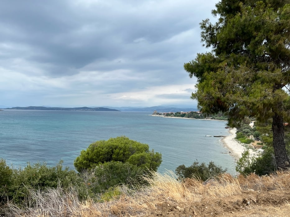
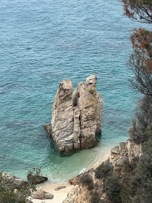
eine kurze Wanderung entlang der Küste in Richtung der Mönchs-Republik Athos. Schöne Ausblicke zur Inselwelt Amouliani.

Further information at

https://de.m.wikipedia.org/wiki/Ouranoupoli

Tour gallery

Tour map and elevation profile

  • Open Street Map
  • Google
Minimum height 6 m Maximum height 16 m Detailed view

More about the tour author

didi
Member since 2001

Send private message

Comments

Gestartet wird beim großen Parkplatz in Ouranoupolis.

GPS tracks

Trackpoints
  • GPX / Garmin Map Source (gpx) download
  • TCX / Garmin Training Center® (tcx) download
  • CRS / Garmin Training Center® (crs) download
  • Google Earth (kml) download
  • G7ToWin (g7t) download
  • TTQV (trk) download
  • Overlay (ovl) download
  • Fugawi (txt) download
  • Kompass (DAV) Track (tk) download
  • Track data sheet (pdf) download
  • Original file of the author (gpx) download

More about the tour author

didi
Member since 2001

Send private message
Share track
Add to my favorites
Remove from my favorites
Edit tags
My score
Rate
Track: Von Ouranoupolis in Richtung Grenze Mönchsrepuplik
Type: Hiking
Distance: 3,6 km
Evaluated on:
Duration:
Day(s)
Hour(s)
Minute(s)
Score: Landscape Fun factor Fitness Technique