


tour im Rekordschneejahr 2023. In normalen Jahren ähnliche Verhältnisse schon 2-4 Wochen früher.
Tour fast ohne Flachstücke in meist idealem Skigelände.
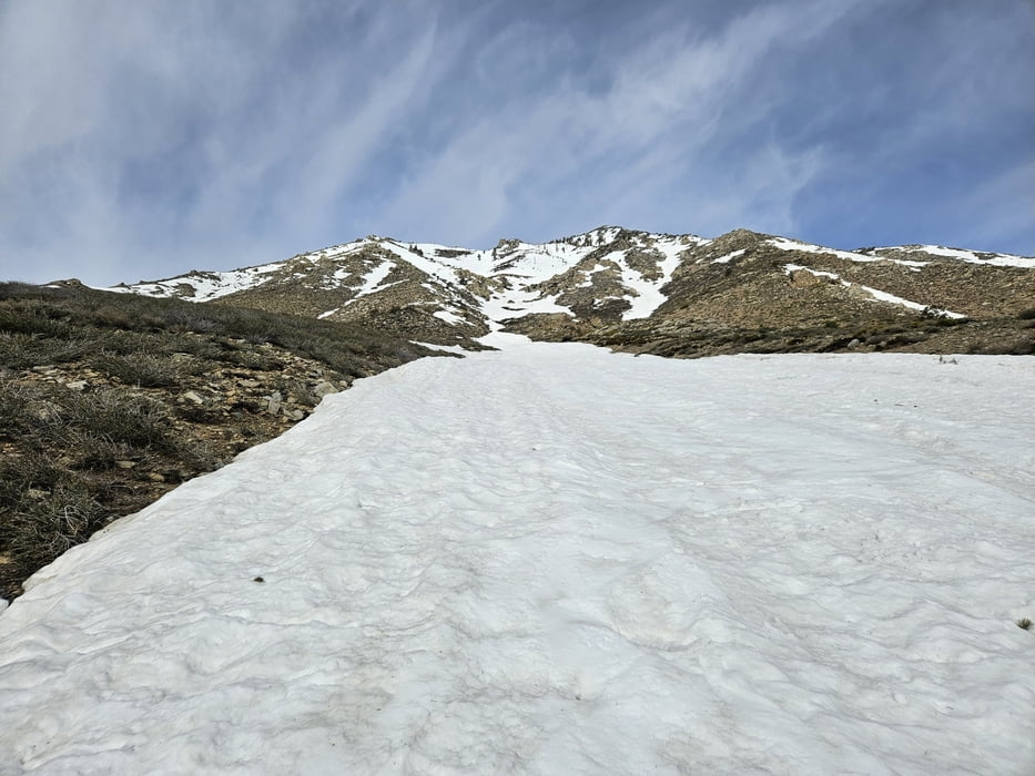
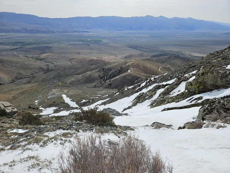
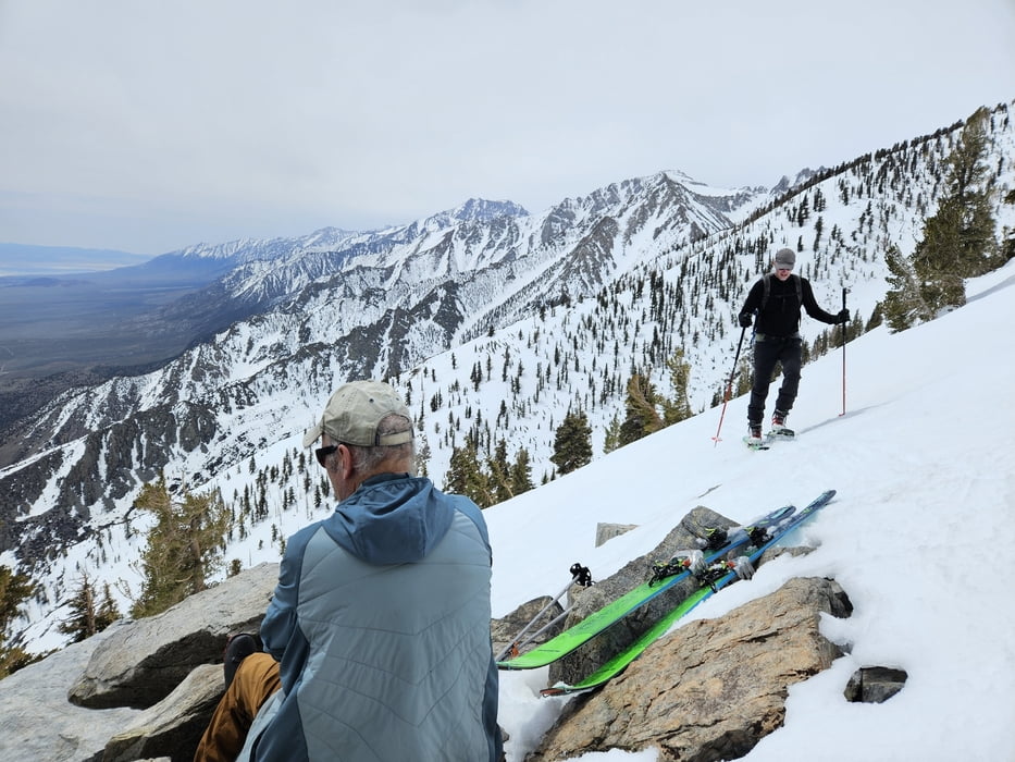
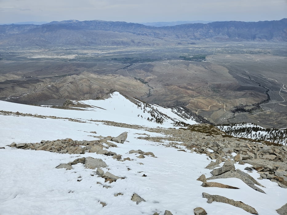
Von der großen Kehre der Onion Valley Road kurz auf dem Sardine Lake Trail nach Norden. Die erste prominente Rinne bei typisch 30-35°, kurzzeiig 40°, hinauf. Auf 2950 m kurz flacher, dann durch lichte Bäume hinauf und wieder flacher zum Gipfelanstieg des Kearsage Peak queren. Dann den wieder aufsteilenden Hang zum Gipfel hinauf. Wegen der miserablen Schneeverhältnisse (hartgefrorener Büßerschnee) habe ich auf 3600 m umgedreht, der Track ist anhand der Karte bis zum Gipfel vervollständigt. Abfahrt wie Aufstieg.
Tour gallery
Tour map and elevation profile
Minimum height 2135 m
Maximum height 3604 m
More about the tour author

|
Gi |
Comments

Von der US 395 Richtung Onion Valley und an der ersten, prominenten Spitzkehtre parken.
GPS tracks
Trackpoints-
GPX / Garmin Map Source (gpx) download
-
TCX / Garmin Training Center® (tcx) download
-
CRS / Garmin Training Center® (crs) download
-
Google Earth (kml) download
-
G7ToWin (g7t) download
-
TTQV (trk) download
-
Overlay (ovl) download
-
Fugawi (txt) download
-
Kompass (DAV) Track (tk) download
-
Track data sheet (pdf) download
-
Original file of the author (gpx) download
More about the tour author
|
|
Gi |
Add to my favorites
Remove from my favorites
Edit tags
Open track
My score
Rate