


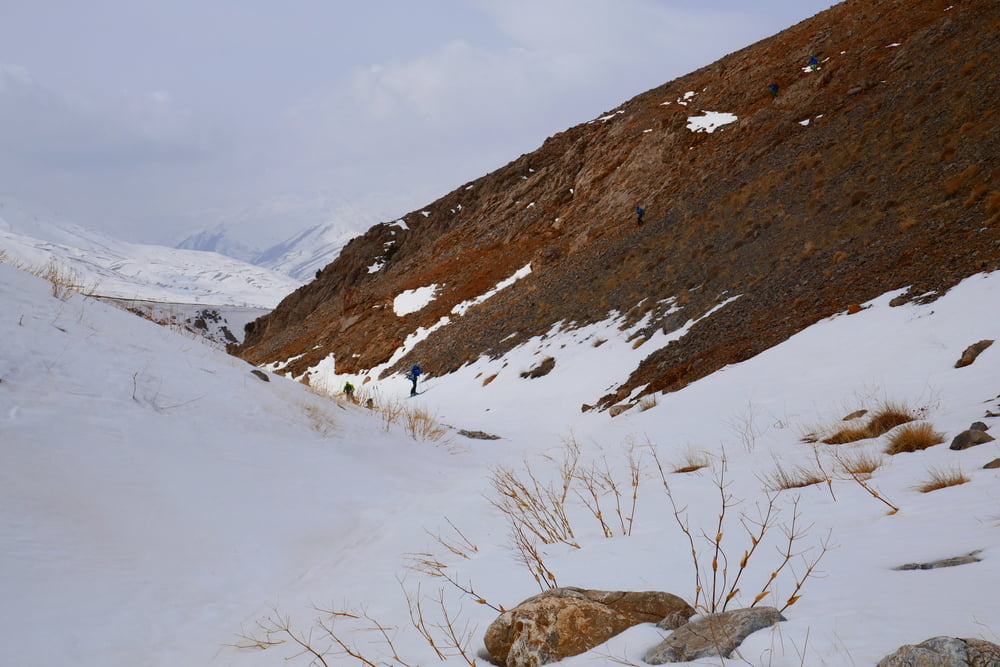
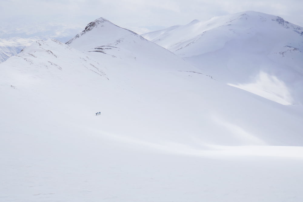
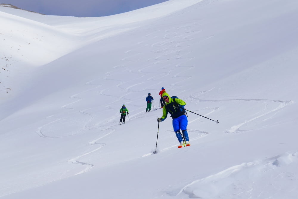
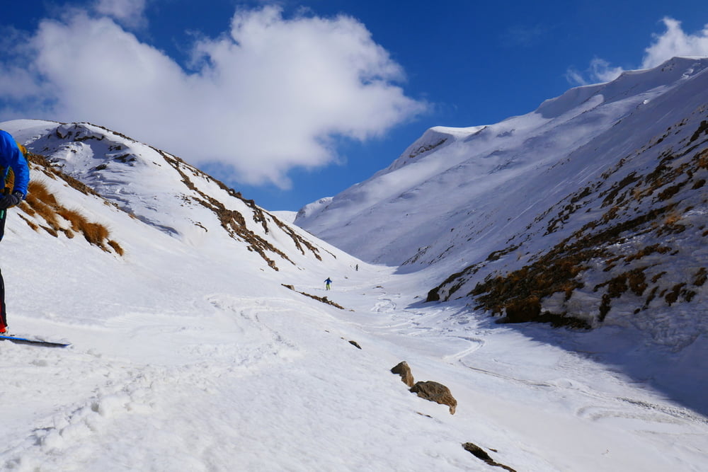
Von Boyunpinar der nicht geräumten Almstraße bis über die Bachquerung folgen, dann schräg rechts weiter aufwärts queren und an geeigneter Stelle die Ski über aperes Blockgelände in die nächste Talsole hinabtragen. Dort mit Ski weiter, immer dem Weg des geringsten Widerstands folgen. Auf 3000 m entschieden wir uns nicht den rechten Gipfel zu besteigen, sondern hinüber zum Beyaz Tepe zu queren, der eine durchgehende Abfahrt versprach. Nach einer kurzen steilen Lawinentechisch heiklen Querung leicht fallend in das große Becken und weiter die Hänge querend zum Gipfel. Für die Abfahrt folgt man anch dem kurzen Gipfelhang immer dem Bachtal bis man die Aufstiegsspur an der Bachquerung wieder erreicht.
Tour gallery
Tour map and elevation profile
Minimum height 2324 m
Maximum height 3433 m
More about the tour author

|
Gi |
Comments

Von der 65-50 links ab nach Boyunpinar
Der sehr freundliche Schafbauer am Ende der befestigten Straße erlaubte uns am Ende des Dorfes zu parken
GPS tracks
Trackpoints-
GPX / Garmin Map Source (gpx) download
-
TCX / Garmin Training Center® (tcx) download
-
CRS / Garmin Training Center® (crs) download
-
Google Earth (kml) download
-
G7ToWin (g7t) download
-
TTQV (trk) download
-
Overlay (ovl) download
-
Fugawi (txt) download
-
Kompass (DAV) Track (tk) download
-
Track data sheet (pdf) download
-
Original file of the author (gpx) download
More about the tour author
|
|
Gi |
Add to my favorites
Remove from my favorites
Edit tags
Open track
My score
Rate