Login

Forgot your login?

Cookies have to be accepted!
Your browser's cookie functionality is disabled. Please enable this functionality.

Not a member yet?

Register now
Login

Available for registred users only

Log in to use this feature.

Forgot your login?

Cookies have to be accepted!
Your browser's cookie functionality is disabled. Please enable this functionality.

Not a member yet?

Register now
Filter
Categories
Advanced filters
  • Distance (km)
  • Height
Save filters Reset filter

TrackRank

QRCode

Technical data

Distance6,9 km Height195 m Way down195 m Duration02:30 h:m Date07.05.2023
Scores Author Landscape Fun factor Fitness Technique

Statistics

139 Views Scores 6 Downloads Average
Rate
  • Track data sheet
  • Directions
  • Downloads
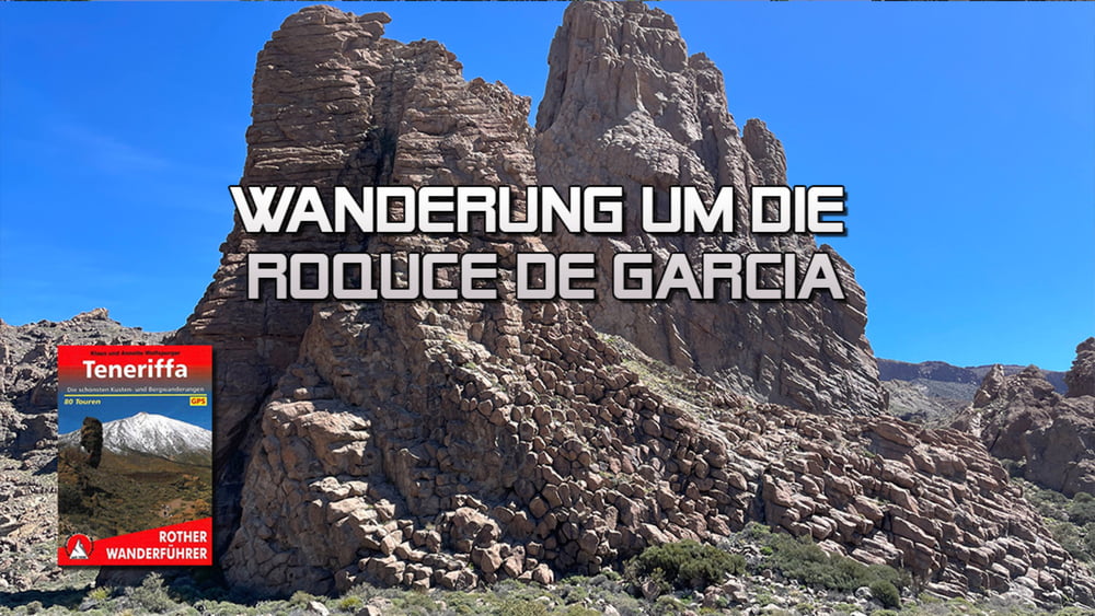
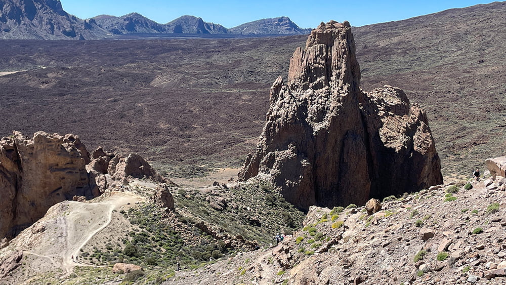
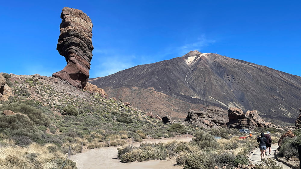
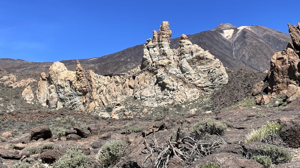
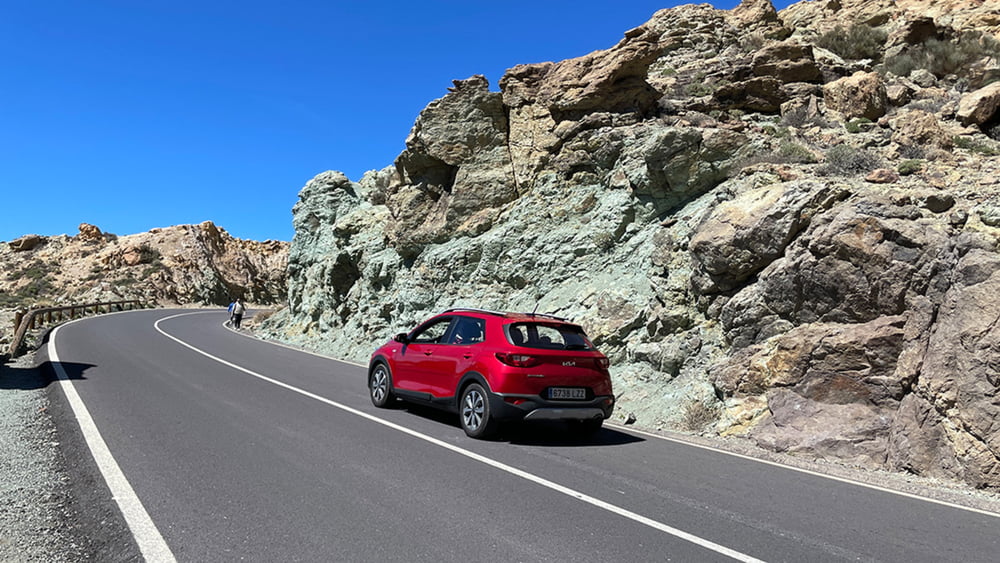
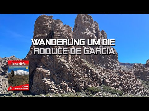
Die Roques de Garcia im Herzen der Cañadas, am Fuß des Teide, sind das bedeutendste Naturmonument der Insel. Insbesondere der Roque Cinchado, der sogenannte „Finger Gottes“, lockt Scharen von Touristen an. Doch je weiter wir uns von den Touristenscharen entfernen umfängt uns die Stille der Cañadas, sodass wir fasst unbehelligt die fantastischen Naturwunder rund um das bizarre, vielförmige Felsmassiv entdecken.

Tour gallery

Tour map and elevation profile

  • Open Street Map
  • Google
Minimum height 2008 m Maximum height 2181 m Detailed view

More about the tour author

schleidy
Member since 2013

Send private message

Comments

GPS tracks

Trackpoints
  • GPX / Garmin Map Source (gpx) download
  • TCX / Garmin Training Center® (tcx) download
  • CRS / Garmin Training Center® (crs) download
  • Google Earth (kml) download
  • G7ToWin (g7t) download
  • TTQV (trk) download
  • Overlay (ovl) download
  • Fugawi (txt) download
  • Kompass (DAV) Track (tk) download
  • Track data sheet (pdf) download
  • Original file of the author (gpx) download

More about the tour author

schleidy
Member since 2013

Send private message
Share track
Add to my favorites
Remove from my favorites
Edit tags
My score
Rate
Track: Teneriffa: Wanderung um die Roques de Garcia
Type: Hiking
Distance: 6,9 km
Evaluated on:
Duration:
Day(s)
Hour(s)
Minute(s)
Score: Landscape Fun factor Fitness Technique