Login

Forgot your login?

Cookies have to be accepted!
Your browser's cookie functionality is disabled. Please enable this functionality.

Not a member yet?

Register now
Login

Available for registred users only

Log in to use this feature.

Forgot your login?

Cookies have to be accepted!
Your browser's cookie functionality is disabled. Please enable this functionality.

Not a member yet?

Register now
Filter
Categories
Advanced filters
  • Distance (km)
  • Height
Save filters Reset filter

TrackRank

QRCode

Technical data

Distance12,3 km Height181 m Way down176 m Duration03:00 h:m Date14.07.2023
Scores Author Landscape Fun factor Fitness Technique

Statistics

42 Views Scores 0 Downloads Average
Rate
  • Track data sheet
  • Directions
  • Downloads
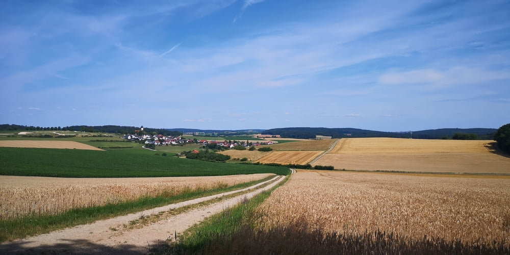
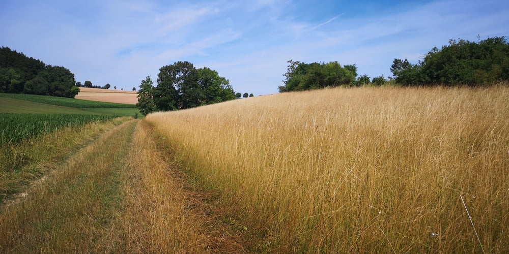
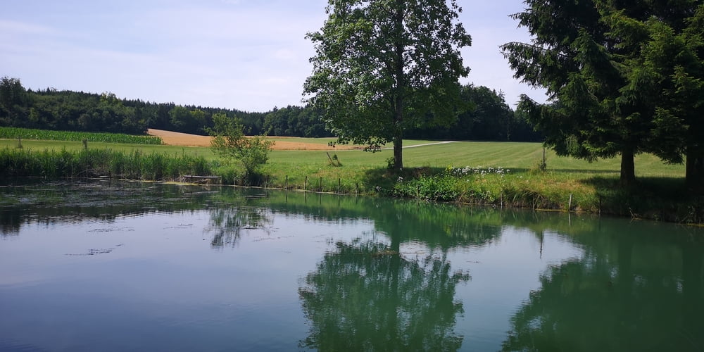
Wanderung 12 der Top-Wanderwege Ferienland Donau-Ries. Der Weg ist als Wanderweg Monheimer Alb Nr. 4 beschildert

Tour gallery

Tour map and elevation profile

  • Open Street Map
  • Google
Minimum height 502 m Maximum height 567 m Detailed view

More about the tour author

JoachimDief
Member since 2016

Send private message

Comments

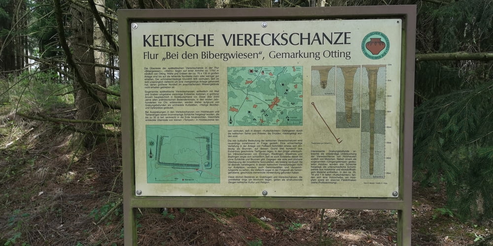
Nach Otting zur Schlosskapelle fahren. Es gibt da eine Info-Tafel und einige Parkplätze.

GPS tracks

Trackpoints
  • GPX / Garmin Map Source (gpx) download
  • TCX / Garmin Training Center® (tcx) download
  • CRS / Garmin Training Center® (crs) download
  • Google Earth (kml) download
  • G7ToWin (g7t) download
  • TTQV (trk) download
  • Overlay (ovl) download
  • Fugawi (txt) download
  • Kompass (DAV) Track (tk) download
  • Track data sheet (pdf) download
  • Original file of the author (gpx) download

More about the tour author

JoachimDief
Member since 2016

Send private message
Share track
Add to my favorites
Remove from my favorites
Edit tags
My score
Rate
Track: Rundweg Fränkische Jura bei Otting
Type: Hiking
Distance: 12,3 km
Evaluated on:
Duration:
Day(s)
Hour(s)
Minute(s)
Score: Landscape Fun factor Fitness Technique