


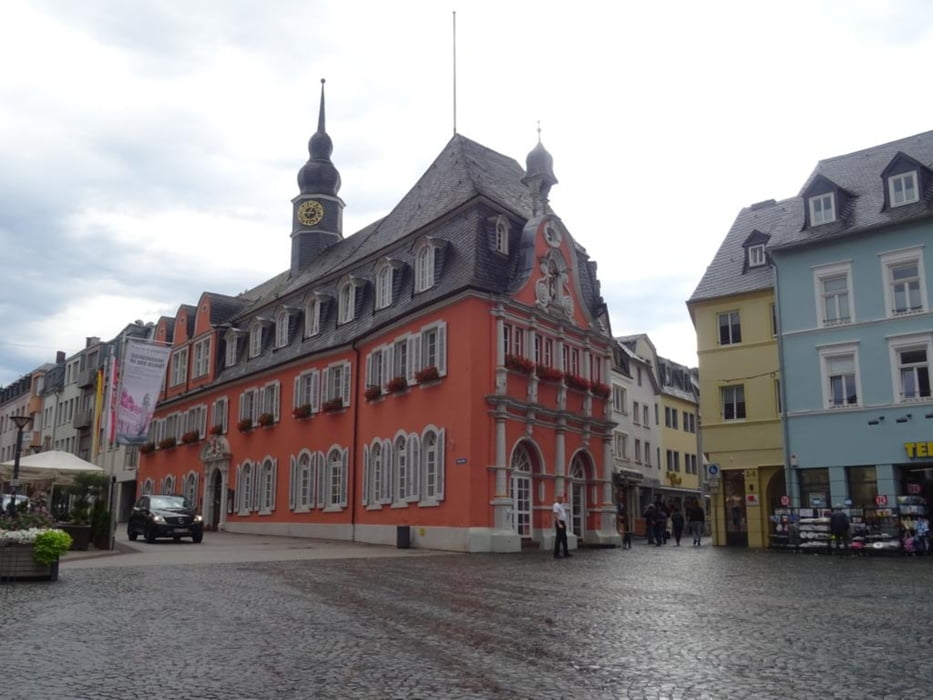
Wanderung durch die Altstadt von Wittlich zum Stadtpark an der Lieser und weiter zum Mundwald. Nach ein dem Mundwald kommt man zur Römischen Villa von Wittlich an der Autobahn A1. Durch ein Naturschutzgebiet geht es zurück zur Stadt Wittlich und dem Parkplatz.
Further information at
https://sonntagswandern.de/wittlicher-stadt-und-mundwald-runde-15-juli-2023/Tour gallery
Tour map and elevation profile
Minimum height 157 m
Maximum height 267 m
More about the tour author

|
Sonntagswanderin |
Comments

über die A1 bis zur Abfahrt Wittlich-Mitte, dann über die B49 zur Friedrichstrasse bis zum Einkaufszentrum mit seinem Parkplatz
GPS tracks
Trackpoints-
GPX / Garmin Map Source (gpx) download
-
TCX / Garmin Training Center® (tcx) download
-
CRS / Garmin Training Center® (crs) download
-
Google Earth (kml) download
-
G7ToWin (g7t) download
-
TTQV (trk) download
-
Overlay (ovl) download
-
Fugawi (txt) download
-
Kompass (DAV) Track (tk) download
-
Track data sheet (pdf) download
-
Original file of the author (gpx) download
More about the tour author
|
|
Sonntagswanderin |
Add to my favorites
Remove from my favorites
Edit tags
Open track
My score
Rate