


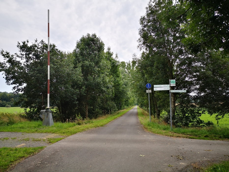
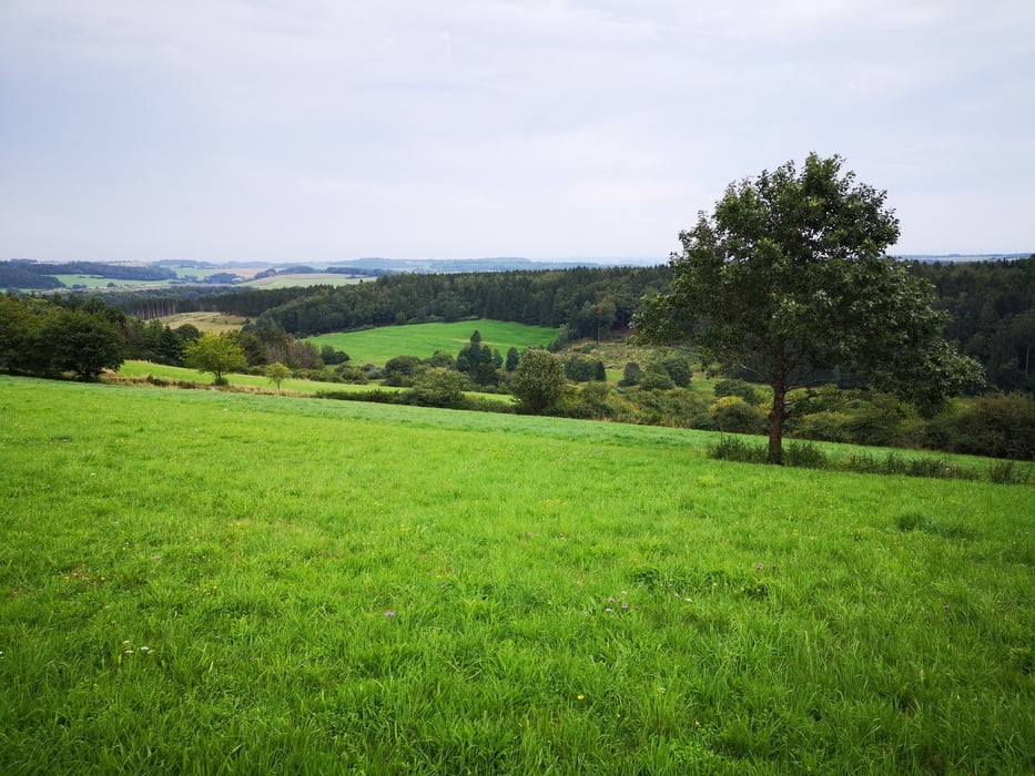
Eine entspannte Wanderung ohne große Steigungen mit schönen Aussichten. Es gibt auch Passagen über Asphalt, der Anteil ist u.E. so gering, dass es nicht stört.
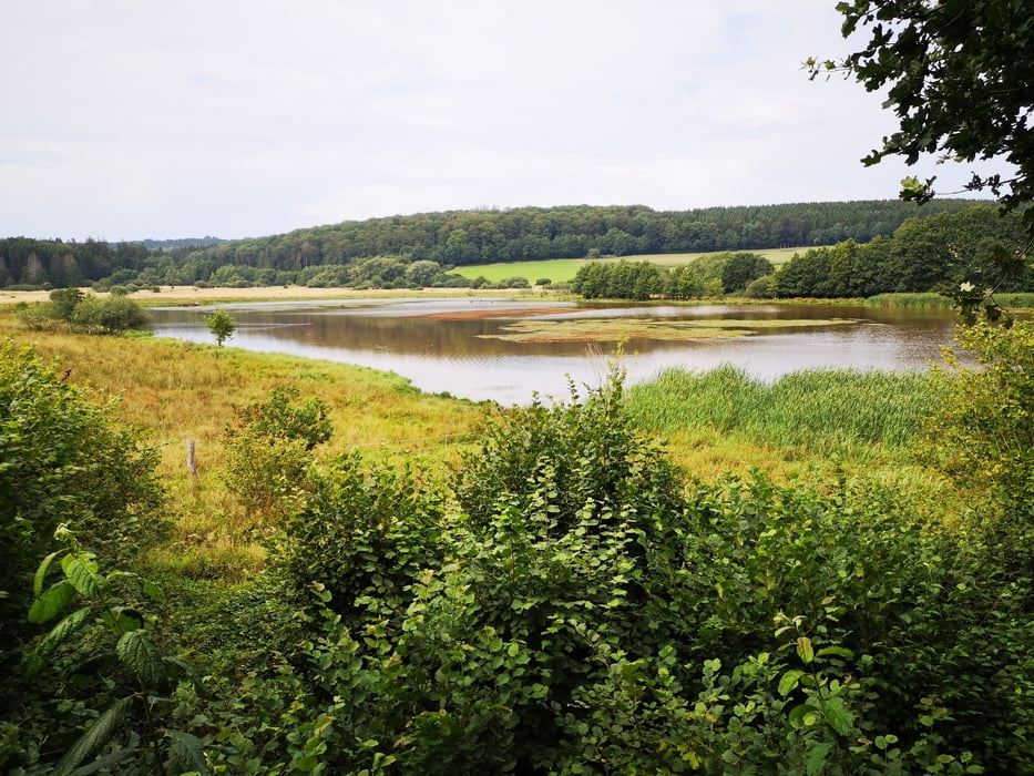
Der Mürmes ist ein Flachmoor in einem alten Maarkessel. Die Umrundung ist ausgeschildert. Es gibt immer wieder Stellen, an denen man eine Pause einlegen kann, um Flora und Fauna zu beobachten - einmal sogar mit Fernrohr. Einkehrmöglichkeiten unterwegs gibt es nicht.
Die Tour hat uns der Hotelier vom Hotel Schneider am Maar, Schalkenmehren, empfohlen.
Tour gallery
Tour map and elevation profile
Minimum height 402 m
Maximum height 496 m
More about the tour author

|
kloepperey |
Comments

Start und Ziel: Schalkenmehren
GPS tracks
Trackpoints-
GPX / Garmin Map Source (gpx) download
-
TCX / Garmin Training Center® (tcx) download
-
CRS / Garmin Training Center® (crs) download
-
Google Earth (kml) download
-
G7ToWin (g7t) download
-
TTQV (trk) download
-
Overlay (ovl) download
-
Fugawi (txt) download
-
Kompass (DAV) Track (tk) download
-
Track data sheet (pdf) download
-
Original file of the author (gpx) download
More about the tour author
|
|
kloepperey |
Add to my favorites
Remove from my favorites
Edit tags
Open track
My score
Rate