Login

Forgot your login?

Cookies have to be accepted!
Your browser's cookie functionality is disabled. Please enable this functionality.

Not a member yet?

Register now
Login

Available for registred users only

Log in to use this feature.

Forgot your login?

Cookies have to be accepted!
Your browser's cookie functionality is disabled. Please enable this functionality.

Not a member yet?

Register now
Filter
Categories
Advanced filters
  • Distance (km)
  • Height
Save filters Reset filter

TrackRank

QRCode

Technical data

Distance12,5 km Height621 m Way down1227 m Duration06:45 h:m Date21.08.2023
Scores Author Landscape Fun factor Fitness Technique

Statistics

96 Views Scores 1 Download Average
Rate
  • Track data sheet
  • Directions
  • Downloads
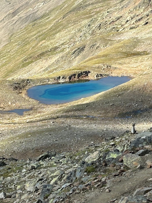
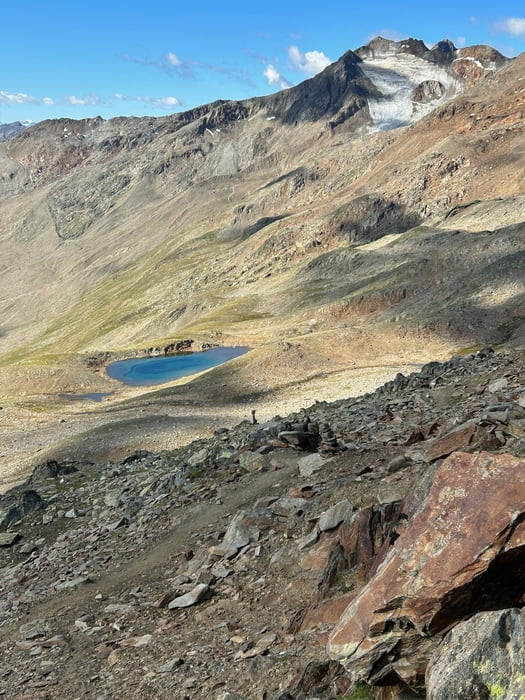
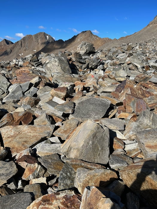
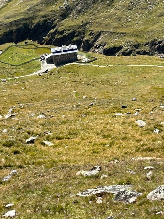
Direkt gegenüber der Martin-Busch-Hütte geht es stetig ansteigend, aber technisch nicht anspruchsvoll den Gipfel entgegen. Leider musste ich etwa 300 Höhenmeter vorm Gipfel aus gesundheitlichen Gründen abbrechen. also gleichen weg zurück und einen breiten Weg ins Tal nach Vent. Wie es die letzten 300hm weitergeht weiß ich nicht, zumindest sah es soweit ich es beurteilen kann nicht sonderlich schwierig aus.

Tour gallery

Tour map and elevation profile

  • Open Street Map
  • Google
Minimum height 1891 m Maximum height 3131 m Detailed view

More about the tour author

revvot
Member since 2017

Send private message

Comments

GPS tracks

Trackpoints
  • GPX / Garmin Map Source (gpx) download
  • TCX / Garmin Training Center® (tcx) download
  • CRS / Garmin Training Center® (crs) download
  • Google Earth (kml) download
  • G7ToWin (g7t) download
  • TTQV (trk) download
  • Overlay (ovl) download
  • Fugawi (txt) download
  • Kompass (DAV) Track (tk) download
  • Track data sheet (pdf) download
  • Original file of the author (gpx) download

More about the tour author

revvot
Member since 2017

Send private message
Share track
Add to my favorites
Remove from my favorites
Edit tags
My score
Rate
Track: Martin Busch Hütte - Kreuzspitze (Abbruch) - Vent
Type: Mountain hiking
Distance: 12,5 km
Evaluated on:
Duration:
Day(s)
Hour(s)
Minute(s)
Score: Landscape Fun factor Fitness Technique