


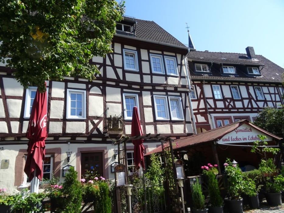
Vom Bahnhof zum Acis Erlebniswald, von dort zum Aussichtspunkt "Lieserhöhe",. weiter zum Distelrasentunnel, Von nun an geht es bergab zurück nach Schlüchtern. Im Ort mache ich einen Stadtrundgang. Neben einer schönen Altstadt mit vielen Fachwerkhäusern gibt es noch ein ehemaliges Benediktinerkloster, das Bergwinkelmuseum, das Lauter'sche Schlösschen und das Eckebäckerhaus. Von der Innenstadt geht es zurück zum Bahnhof.
Further information at
https://sonntagswandern.de/schluechtern-panoramatour-und-stadtrundgang-10-september-2023/Tour gallery
Tour map and elevation profile
Minimum height 208 m
Maximum height 303 m
More about the tour author

|
Sonntagswanderin |
Comments

mit der Bahn zum Bahnhof Schlüchtern
GPS tracks
Trackpoints-
GPX / Garmin Map Source (gpx) download
-
TCX / Garmin Training Center® (tcx) download
-
CRS / Garmin Training Center® (crs) download
-
Google Earth (kml) download
-
G7ToWin (g7t) download
-
TTQV (trk) download
-
Overlay (ovl) download
-
Fugawi (txt) download
-
Kompass (DAV) Track (tk) download
-
Track data sheet (pdf) download
-
Original file of the author (gpx) download
More about the tour author
|
|
Sonntagswanderin |
Add to my favorites
Remove from my favorites
Edit tags
Open track
My score
Rate