Login

Forgot your login?

Cookies have to be accepted!
Your browser's cookie functionality is disabled. Please enable this functionality.

Not a member yet?

Register now
Login

Available for registred users only

Log in to use this feature.

Forgot your login?

Cookies have to be accepted!
Your browser's cookie functionality is disabled. Please enable this functionality.

Not a member yet?

Register now
Filter
Categories
Advanced filters
  • Distance (km)
  • Height
Save filters Reset filter

TrackRank

QRCode

Technical data

Distance28,0 km Height1326 m Way down1264 m Duration03:55 h:m Date11.09.2023
Scores Author Landscape Fun factor Fitness Technique

Statistics

188 Views Scores 1 Download Average
Rate
  • Track data sheet
  • Directions
  • Downloads
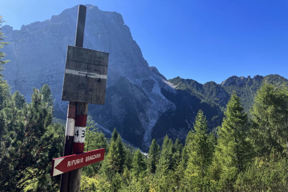
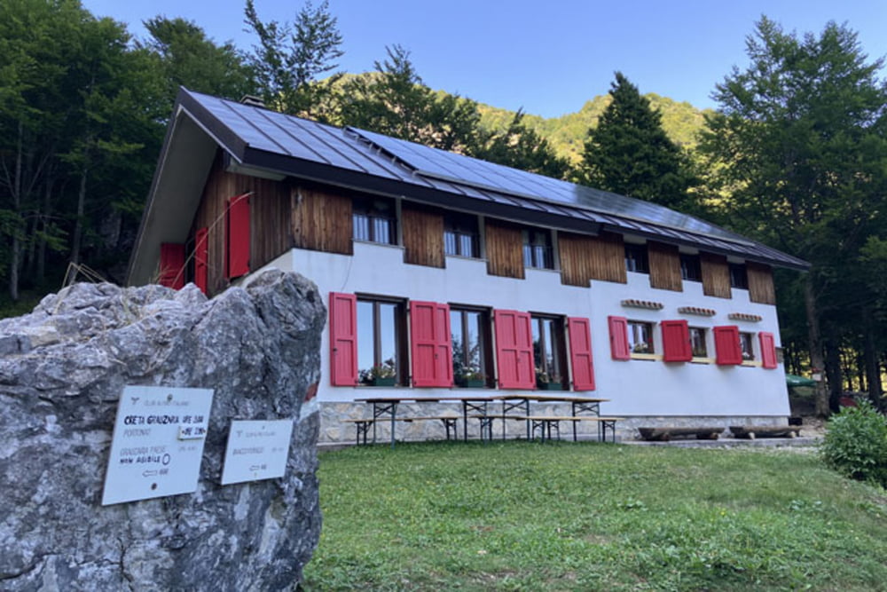
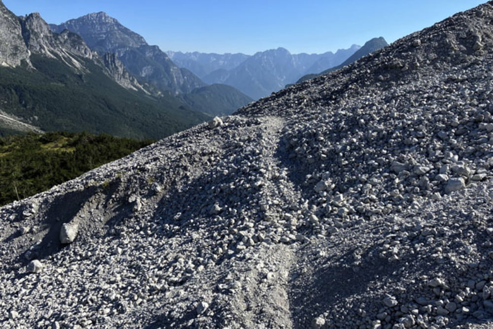
Grauzaria-Case Zais-Dordolla-Localita Coset-Bevorchians-Forca Forchiettis-Forca Zouf di Fau (na odseku med razpotjem Zouf di Fau in najvišjo točko izleta pod vrhom Monte Flop je kolo potrebno v večji meri potiskati; približno 300 višincev)-Monte Flop-Foran da la Gjialine-Rifugio Grauzaria (zadnji del spusta proti Rifugio Grauzaria je tehnično izjemno zahteven)-Malga Flop (med spustom od Rifugia Grauzaria do planina Malga Flop je potrebno večkrat sestopiti s kolesa, zelo slaba podlaga)-Sentiero Fassoz (prvih 400 metrov od Malga Flop se ponovno vzpenjamo, pretežno ob kolesu, nadaljevanje po Sentiero Fassoz proti Cuel di Zouf je izjemno naporno, podlaga na stezi je izjemno kamnita, poteka tudi preko melišč, velik del ob kolesu)-Lotz da la piciule Cengle-Cuel di Zouf-Grauzaria

Further information at

https://mtb-itd.si/poti/

Einschränkungen

This tour has a carry or push section on 3.5 kilometers

Tour gallery

Tour map and elevation profile

  • Open Street Map
  • Google
Minimum height 482 m Maximum height 1656 m Detailed view

More about the tour author

andrejno
Member since 2012

Send private message

Comments

Grauzaria-Case Zais-Dordolla-Localita Coset-Bevorchians-Forca Forchiettis-Forca Zouf di Fau-Monte Flop-Foran da la Gjialine-Rifugio Grauzaria-Malga Flop-Sentiero Fassoz-Lotz da la piciule Cengle-Cuel di Zouf-Grauzaria

Einschränkungen

This tour has a carry or push section on 3.5 kilometers

GPS tracks

Trackpoints
  • GPX / Garmin Map Source (gpx) download
  • TCX / Garmin Training Center® (tcx) download
  • CRS / Garmin Training Center® (crs) download
  • Google Earth (kml) download
  • G7ToWin (g7t) download
  • TTQV (trk) download
  • Overlay (ovl) download
  • Fugawi (txt) download
  • Kompass (DAV) Track (tk) download
  • Track data sheet (pdf) download
  • Original file of the author (gpx) download

More about the tour author

andrejno
Member since 2012

Send private message
Share track
Add to my favorites
Remove from my favorites
Edit tags
My score
Rate
Track: Monte Flop
Type: Mountain bike
Distance: 28,0 km
Evaluated on:
Duration:
Day(s)
Hour(s)
Minute(s)
Score: Landscape Fun factor Fitness Technique