


Starting from Grenoble and following the valley of Isere (upstream) you can reach Montmelian. If you turn north-west there, riding along Chartreuse mountain range, you reach a historical city of Chambery.
We decided to travel on the left side of Isere first, following some nice (but unpaved) roads for bikes and enjoying the river and the views of Belledonnes.
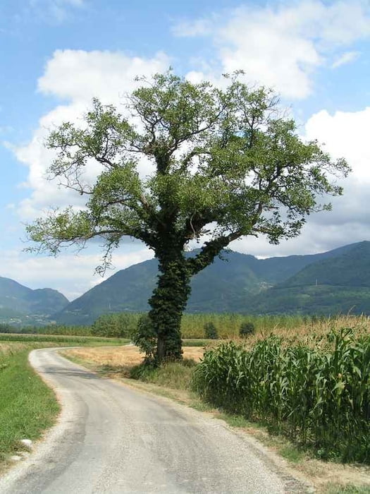
At Brignoud we passed a river and found some very nice agricultural zones with no cars and good roads. The views of Chartreuse are astonishing and you have some interesting places to visit on your way.
First of all, after passing Crolles you will notice Funiculaire de Saint-Hilaire - a tourist train climbing 700 meters and 83% slopes to reach Saint-Hilaire. It is even passing through a tunnel.
You may consider visiting some castles on your way. Usually they are inhabited and not widely open for public, but some are really old looking (like Chateau du Carre), some may be visited (check the gardens of Chateau du Touvet) and some provide a nice view of the surroundings (chateu at la Fayet).
The trip is mostly flat, but it is worth adding only 200 meters climb from le Touvet to la Flachere to visit last two of the mensioned castles and Fort Barraux.
To be honest, we did not find anything interesting in Fort Barraux, but it was partially closed due to works. As it is looking at the Isere valley, some nice views could be expected when all walking tarraces are open.
A nice Lac de St-Anore lake is worth mentioning, we found it to be a good place for a rest.
When you finally reach Chambery, do not miss the Fountain with Elefants, the Saint-Francois Cathedral, so called "Allees" of Chambery and last but not least - the castle of the duke of Savoie.
We decided to travel on the left side of Isere first, following some nice (but unpaved) roads for bikes and enjoying the river and the views of Belledonnes.
At Brignoud we passed a river and found some very nice agricultural zones with no cars and good roads. The views of Chartreuse are astonishing and you have some interesting places to visit on your way.
First of all, after passing Crolles you will notice Funiculaire de Saint-Hilaire - a tourist train climbing 700 meters and 83% slopes to reach Saint-Hilaire. It is even passing through a tunnel.
You may consider visiting some castles on your way. Usually they are inhabited and not widely open for public, but some are really old looking (like Chateau du Carre), some may be visited (check the gardens of Chateau du Touvet) and some provide a nice view of the surroundings (chateu at la Fayet).
The trip is mostly flat, but it is worth adding only 200 meters climb from le Touvet to la Flachere to visit last two of the mensioned castles and Fort Barraux.
To be honest, we did not find anything interesting in Fort Barraux, but it was partially closed due to works. As it is looking at the Isere valley, some nice views could be expected when all walking tarraces are open.
A nice Lac de St-Anore lake is worth mentioning, we found it to be a good place for a rest.
When you finally reach Chambery, do not miss the Fountain with Elefants, the Saint-Francois Cathedral, so called "Allees" of Chambery and last but not least - the castle of the duke of Savoie.
Tour gallery
Tour map and elevation profile
Minimum height 216 m
Maximum height 423 m
More about the tour author

|
azzie |
Comments

As distance from Grenoble to Chambery is quite long (and there is plenty of places to visit on your way) you may consider spending a night there or taking a train back to Grenoble as we did.
On most of the trains it is possible to travel with a bike with no additional charge (check it with the schedule). The cars are well maintained, the train is fast and you can safely hang your bike inside.
On most of the trains it is possible to travel with a bike with no additional charge (check it with the schedule). The cars are well maintained, the train is fast and you can safely hang your bike inside.
GPS tracks
Trackpoints-
GPX / Garmin Map Source (gpx) download
-
TCX / Garmin Training Center® (tcx) download
-
CRS / Garmin Training Center® (crs) download
-
Google Earth (kml) download
-
G7ToWin (g7t) download
-
TTQV (trk) download
-
Overlay (ovl) download
-
Fugawi (txt) download
-
Kompass (DAV) Track (tk) download
-
Track data sheet (pdf) download
-
Original file of the author (gpx) download
More about the tour author
|
|
azzie |
Add to my favorites
Remove from my favorites
Edit tags
Open track
My score
Rate