Login

Forgot your login?

Cookies have to be accepted!
Your browser's cookie functionality is disabled. Please enable this functionality.

Not a member yet?

Register now
Login

Available for registred users only

Log in to use this feature.

Forgot your login?

Cookies have to be accepted!
Your browser's cookie functionality is disabled. Please enable this functionality.

Not a member yet?

Register now
Filter
Categories
Advanced filters
  • Distance (km)
  • Height
Save filters Reset filter

TrackRank

QRCode

Technical data

Distance43,3 km Height116 m Way down118 m Duration02:32 h:m Date16.01.2024
Scores Author Landscape Fun factor Fitness Technique

Statistics

139 Views Scores 0 Downloads Average
Rate
  • Track data sheet
  • Directions
  • Downloads
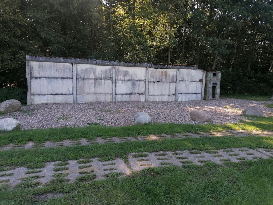
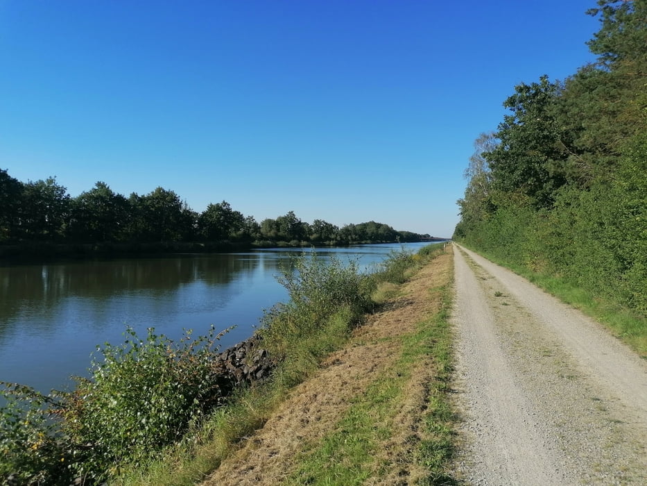
Schöne Radtour mit kleinen Abschnitten auf ehemaligen DDR Grenzwegen

Tour gallery

Tour map and elevation profile

  • Open Street Map
  • Google
Minimum height 70 m Maximum height 105 m Detailed view

More about the tour author

tret_werk
Member since 2014

Send private message

Comments

Start ist in der Tour Markiert, es ist ein Wohnmobil Stellplatz der zugleich aus als Parkplatz genutzt werden kann, sollte er voll sein stehen im Ort noch einige Parkplätze zu verfügung.

GPS tracks

Trackpoints
  • GPX / Garmin Map Source (gpx) download
  • TCX / Garmin Training Center® (tcx) download
  • CRS / Garmin Training Center® (crs) download
  • Google Earth (kml) download
  • G7ToWin (g7t) download
  • TTQV (trk) download
  • Overlay (ovl) download
  • Fugawi (txt) download
  • Kompass (DAV) Track (tk) download
  • Track data sheet (pdf) download
  • Original file of the author (gpx) download

More about the tour author

tret_werk
Member since 2014

Send private message
Share track
Add to my favorites
Remove from my favorites
Edit tags
My score
Rate
Track: 605. Deutsch Deutsche Grenzerfahrung
Type: Trekkingbike
Distance: 43,3 km
Evaluated on:
Duration:
Day(s)
Hour(s)
Minute(s)
Score: Landscape Fun factor Fitness Technique