Login

Forgot your login?

Cookies have to be accepted!
Your browser's cookie functionality is disabled. Please enable this functionality.

Not a member yet?

Register now
Login

Available for registred users only

Log in to use this feature.

Forgot your login?

Cookies have to be accepted!
Your browser's cookie functionality is disabled. Please enable this functionality.

Not a member yet?

Register now
Filter
Categories
Advanced filters
  • Distance (km)
  • Height
Save filters Reset filter

TrackRank

QRCode

Technical data

Distance4,1 km Height144 m Way down137 m Duration00:00 h:m Date11.02.2024
Scores Author Landscape Fun factor Fitness Technique

Statistics

137 Views Scores 1 Download Average
Rate
  • Track data sheet
  • Directions
  • Downloads
Der Walk hat Spaß gemacht, ist aber kaum zum nachgehen geeignet, wegen Sackgassen und einem steile Bergabtrail, der an der Landstraße Richtung Eiweiler endet. Wer's trotzdem probieren will, kann von der Straße aus, endlos verlängern.
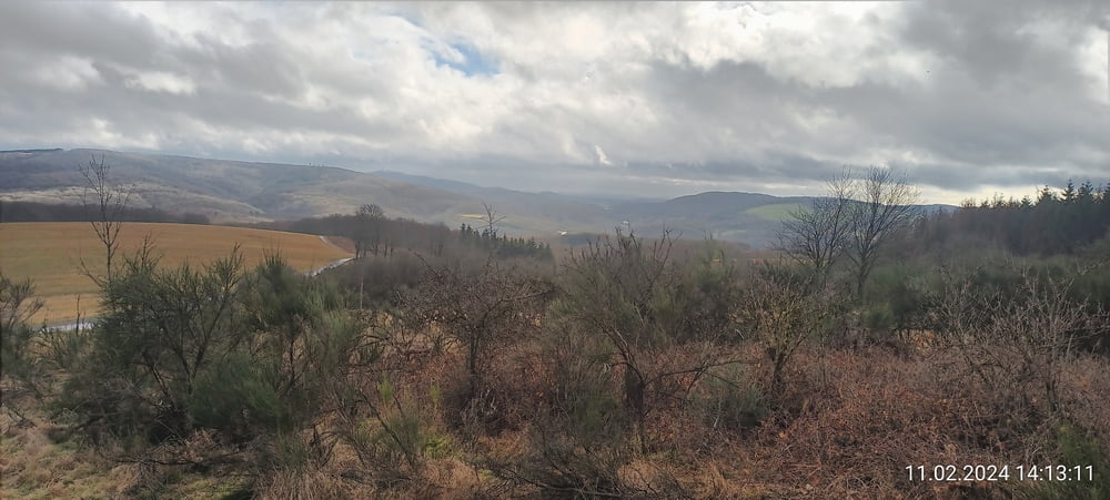
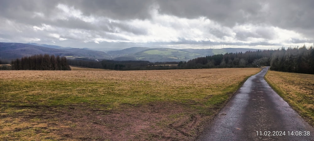
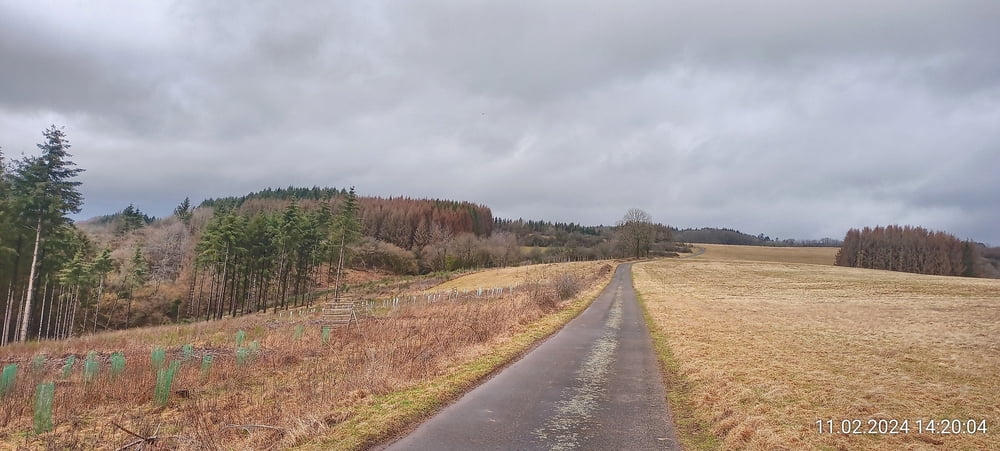
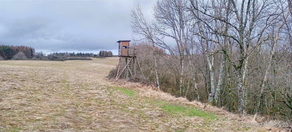
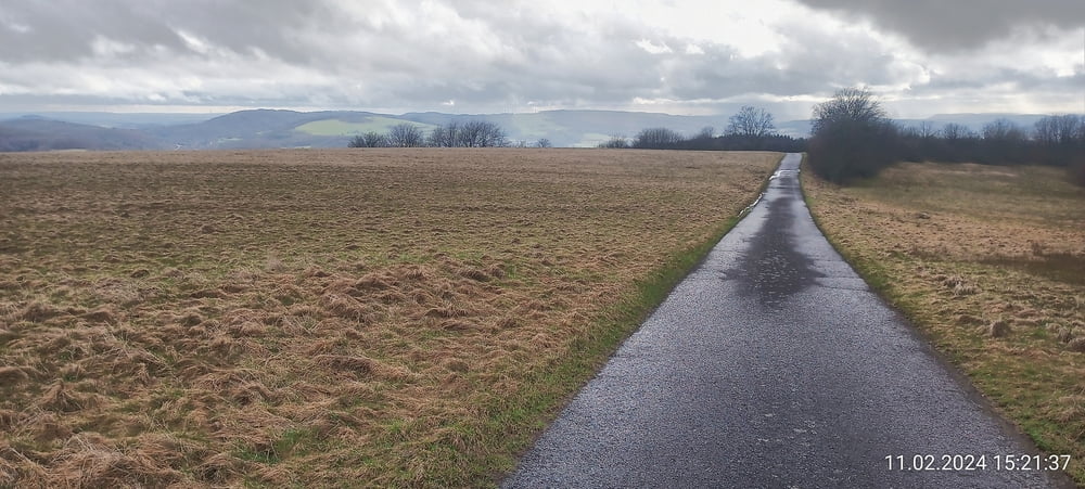
Tour gallery

Tour map and elevation profile

  • Open Street Map
  • Google
Minimum height 389 m Maximum height 529 m Detailed view

More about the tour author

forest-trailhunter
Member since 2015

Send private message

Comments

GPS tracks

Trackpoints
  • GPX / Garmin Map Source (gpx) download
  • TCX / Garmin Training Center® (tcx) download
  • CRS / Garmin Training Center® (crs) download
  • Google Earth (kml) download
  • G7ToWin (g7t) download
  • TTQV (trk) download
  • Overlay (ovl) download
  • Fugawi (txt) download
  • Kompass (DAV) Track (tk) download
  • Track data sheet (pdf) download
  • Original file of the author (gpx) download

More about the tour author

forest-trailhunter
Member since 2015

Send private message
Share track
Add to my favorites
Remove from my favorites
Edit tags
My score
Rate
Track: Trailsuche mit Sackgassen, bei Primstal
Type: Hiking
Distance: 4,1 km
Evaluated on:
Duration:
Day(s)
Hour(s)
Minute(s)
Score: Landscape Fun factor Fitness Technique