
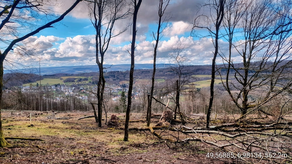

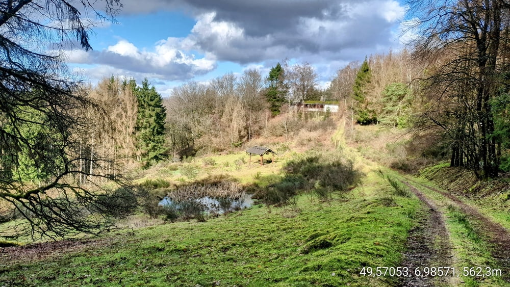
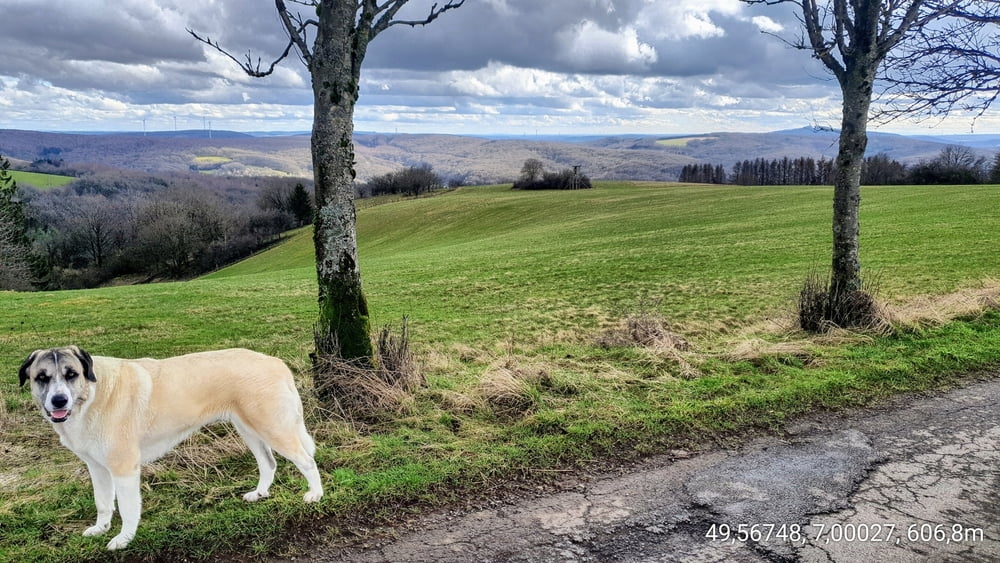
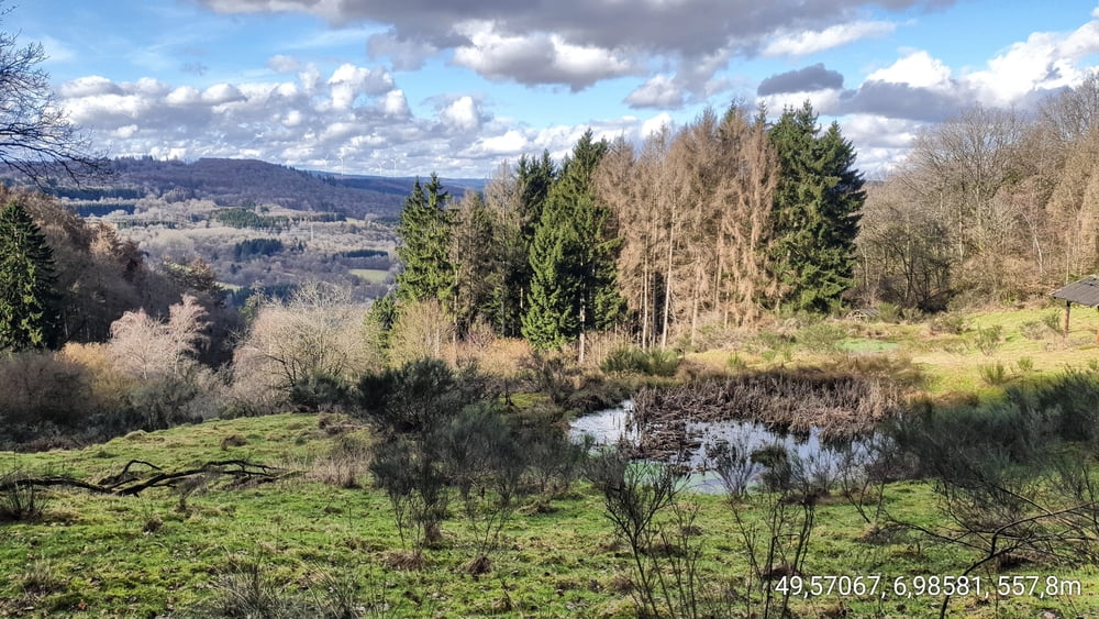
Schöne Hundetour, etwas abseits der Hauptwege, mit einer Querfeldeinpassage, die ihr aber entschärfen könnt, wenn ihr auf dem Hauptweg bleibt. Dieser Abschnitt ist so ziemlich am Anfang der Tour, wenn der Weg, in den Wald führt. Bei dieser Tour, ist wiedermal etwas Explorer Geist angesagt. Ihr müsst euch auch darauf einstellen, das ein oder andere umgestürzte Bäumchen zu umgehen. DIES IST KEINE TRAUMSCHLEIFE!!, Aber Ihr werdet mit tollen Panoramen belohnt.
Tour gallery
Tour map and elevation profile
Minimum height 554 m
Maximum height 623 m
More about the tour author

|
forest-trailhunter |
Comments

GPS tracks
Trackpoints-
GPX / Garmin Map Source (gpx) download
-
TCX / Garmin Training Center® (tcx) download
-
CRS / Garmin Training Center® (crs) download
-
Google Earth (kml) download
-
G7ToWin (g7t) download
-
TTQV (trk) download
-
Overlay (ovl) download
-
Fugawi (txt) download
-
Kompass (DAV) Track (tk) download
-
Track data sheet (pdf) download
-
Original file of the author (gpx) download
More about the tour author
|
|
forest-trailhunter |
Add to my favorites
Remove from my favorites
Edit tags
Open track
My score
Rate