


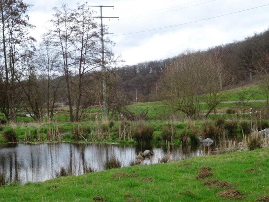
Vom Alten Sportplatz zum "Lug-ins-Land. Weiter über die Höhe an der ICE Strecke entlang bis Niederbrechen. Zurück ins Tal und an der Ems entlang zurück nach Selters (Ts). Unterwegs eine Besichtigung des Biotops "Unterm Nippchen"
Further information at
https://sonntagswandern.de/von-selters-ts-ueber-die-hoehe-nach-brechen-und-durch-das-tal-zurueck-25-februar-2024/Tour gallery
Tour map and elevation profile
Minimum height 147 m
Maximum height 267 m
More about the tour author

|
Sonntagswanderin |
Comments

mit der Bahn nach Niederselters, oder über die B8 zum Alten Sportplatz in Niederselters
GPS tracks
Trackpoints-
GPX / Garmin Map Source (gpx) download
-
TCX / Garmin Training Center® (tcx) download
-
CRS / Garmin Training Center® (crs) download
-
Google Earth (kml) download
-
G7ToWin (g7t) download
-
TTQV (trk) download
-
Overlay (ovl) download
-
Fugawi (txt) download
-
Kompass (DAV) Track (tk) download
-
Track data sheet (pdf) download
-
Original file of the author (gpx) download
More about the tour author
|
|
Sonntagswanderin |
Add to my favorites
Remove from my favorites
Edit tags
Open track
My score
Rate