
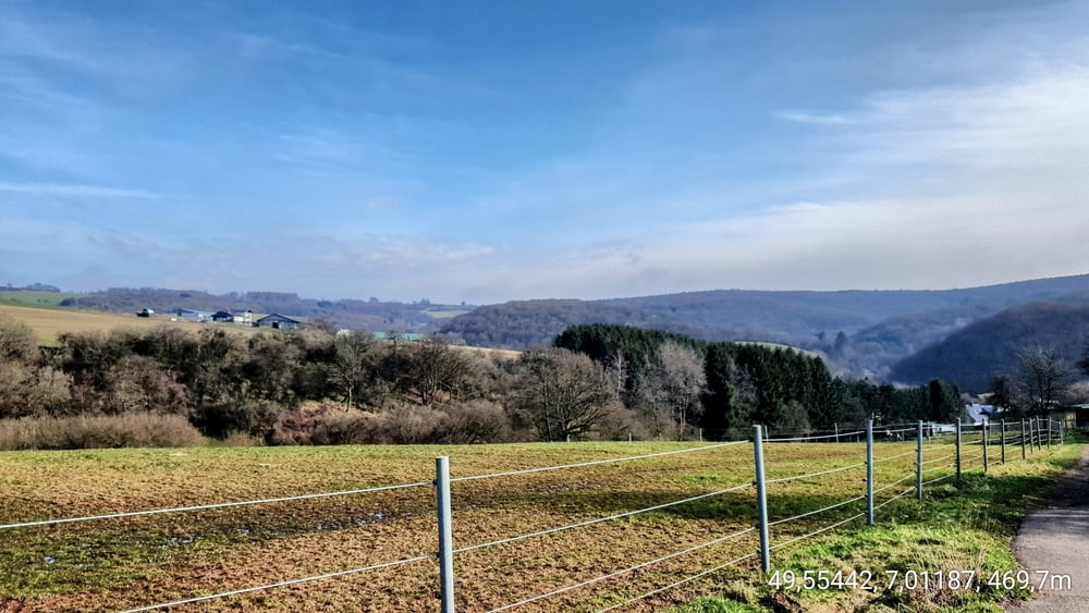

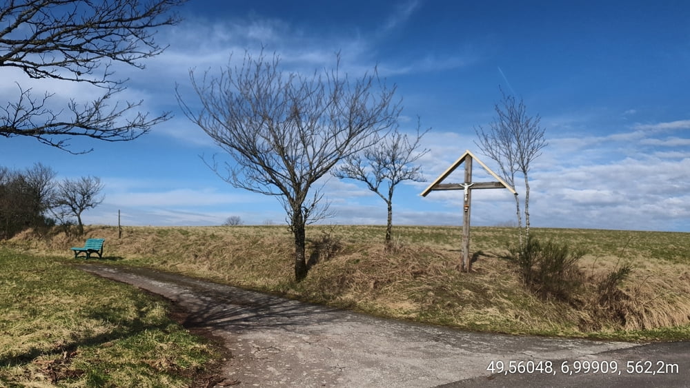
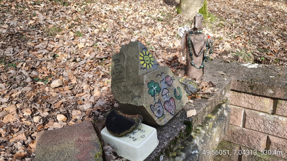
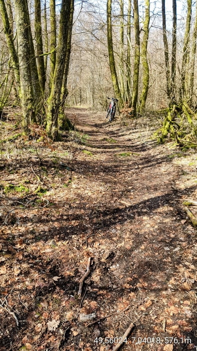
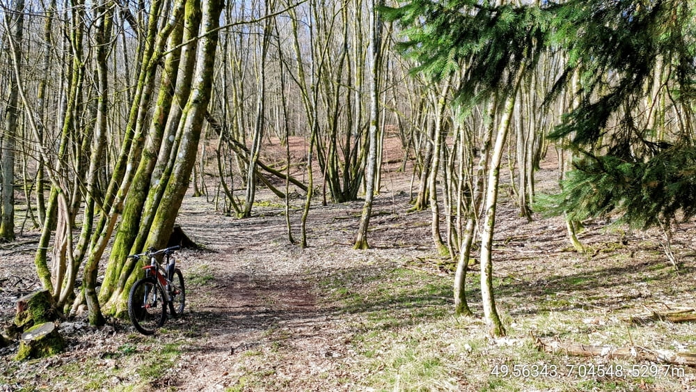
Diese Runde, führt zunächst über den Peterberg, in Richtung Diegelsberg. Wir passieren, das Kuhnenkreuz und nehmen den kurzen Anstieg zum Diegelsberg. Nach ca. 150 m biegen wir links ab, in einen flachen wurzeligen Trail, welcher uns dann in den Bosener Wald hinabführt. Schließlich gelangen wir zur Kallenborn Quelle....Zeit für eine kurze Rast. Weiter geht es zum Eckersberg, vorbei am sogenannten "Hasso - Stein" und schon geht es mit Fullspeed den "Eckersberg - Downhill" runter. Wir fahren noch eine kurze Schleife, im Wald oberhalb von Eiweiler und sausen runter in den Ort, wo uns der Wald ausspuckt.
Tour gallery
Tour map and elevation profile
Minimum height 431 m
Maximum height 638 m
More about the tour author

|
forest-trailhunter |
Comments

GPS tracks
Trackpoints-
GPX / Garmin Map Source (gpx) download
-
TCX / Garmin Training Center® (tcx) download
-
CRS / Garmin Training Center® (crs) download
-
Google Earth (kml) download
-
G7ToWin (g7t) download
-
TTQV (trk) download
-
Overlay (ovl) download
-
Fugawi (txt) download
-
Kompass (DAV) Track (tk) download
-
Track data sheet (pdf) download
-
Original file of the author (gpx) download
More about the tour author
|
|
forest-trailhunter |
Add to my favorites
Remove from my favorites
Edit tags
Open track
My score
Rate