


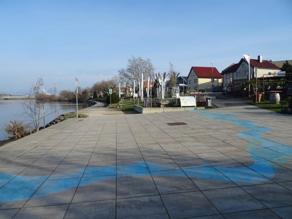
Von Kelsterbacher Bahnhof geht es direkt zum Mainufer. Hier treffe ich auf die neue Klimaroute "Flussklima" . An verschiedenen Stationen wird erklärt was der Klimawandel für die Flüsse bedeutet. Auch der MainRadweg "M" verläuft am Fluss entlang, 600 Kilometer von der Quelle im Fichtelgebirge bis zur Mündung in den Rhein bei Wiesbaden. Der Radweg führt durch abwechslungsreiche Landschaften, an interessanten Ortschaften und einem Industriepark vorbei. In Frankfurt angekommen beende ich die Wanderung und mache mich auf den Weg zum Hauptbahnhof.
Further information at
https://sonntagswandern.de/von-kelsterbach-nach-frankfurt-a-m-immer-am-main-entlang-3-maerz-2024/Tour gallery
Tour map and elevation profile
Minimum height 121 m
Maximum height 150 m
More about the tour author

|
Sonntagswanderin |
Comments

mit der S-Bahn zum Bahnhof in Kelsterbach
GPS tracks
Trackpoints-
GPX / Garmin Map Source (gpx) download
-
TCX / Garmin Training Center® (tcx) download
-
CRS / Garmin Training Center® (crs) download
-
Google Earth (kml) download
-
G7ToWin (g7t) download
-
TTQV (trk) download
-
Overlay (ovl) download
-
Fugawi (txt) download
-
Kompass (DAV) Track (tk) download
-
Track data sheet (pdf) download
-
Original file of the author (gpx) download
More about the tour author
|
|
Sonntagswanderin |
Add to my favorites
Remove from my favorites
Edit tags
Open track
My score
Rate