


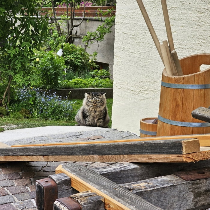
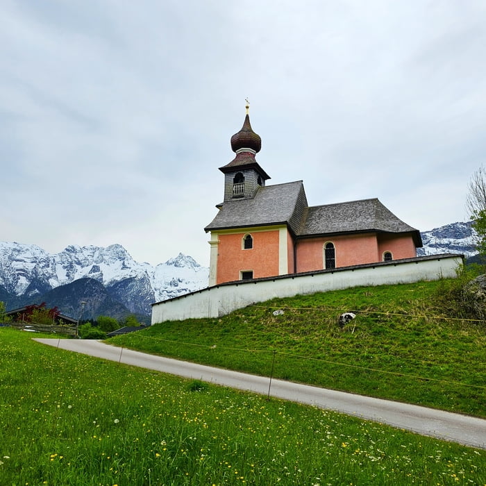
Das Salzburger Saalachtal bietet 4 verschiedene Wandergolf-Parcours mit jeweils 9 Stationen an. Die Loferer Wander - Golfrunde stellen wir euch hier vor. Ihr wandert durch das herrliche Loferer Talbecken und nehmt sozusagen im Vorbeigehen Lofer , Scheffsnoth , Au und natürlich möglichst wenig Golfpunkte mit. Ein Spass für die ganze Familie. Einkehrmöglichkeiten gibt es in Au , dort solltet ihr übrigens auch unbedingt den kleinen Abstecher zum Auer Kirchlein machen, und natürlich im wunderschönen Ort Lofer.
Schläger , Golfball und Spielplan bekommt ihr beim Infobüro in Lofer oder beim Gasthaus Antonia in Au.
Ausgangspunkt ist das Infobüro in Lofer beim großen Parkplatz.
Gäste des Ferienhauses Schweinöster können natürlich auch dort starten.
Further information at
https://www.loferurlaub.at/wandergolf/Tour gallery


Tour map and elevation profile
Minimum height 616 m
Maximum height 669 m
More about the tour author
|
|
GarminSalzburg |
Comments

Ausgangspunkt ist das Infobüro in Lofer beim großen Parkplatz.
GPS tracks
Trackpoints-
GPX / Garmin Map Source (gpx) download
-
TCX / Garmin Training Center® (tcx) download
-
CRS / Garmin Training Center® (crs) download
-
Google Earth (kml) download
-
G7ToWin (g7t) download
-
TTQV (trk) download
-
Overlay (ovl) download
-
Fugawi (txt) download
-
Kompass (DAV) Track (tk) download
-
Track data sheet (pdf) download
-
Original file of the author (gpx) download
More about the tour author
|
|
GarminSalzburg |
Add to my favorites
Remove from my favorites
Edit tags
Open track
My score
Rate