
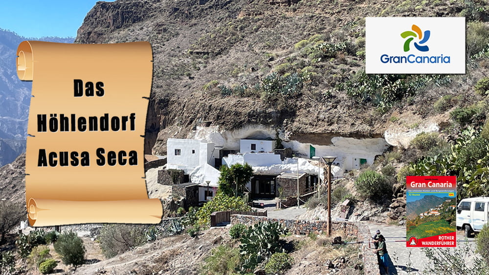

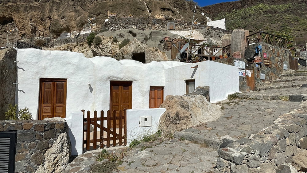
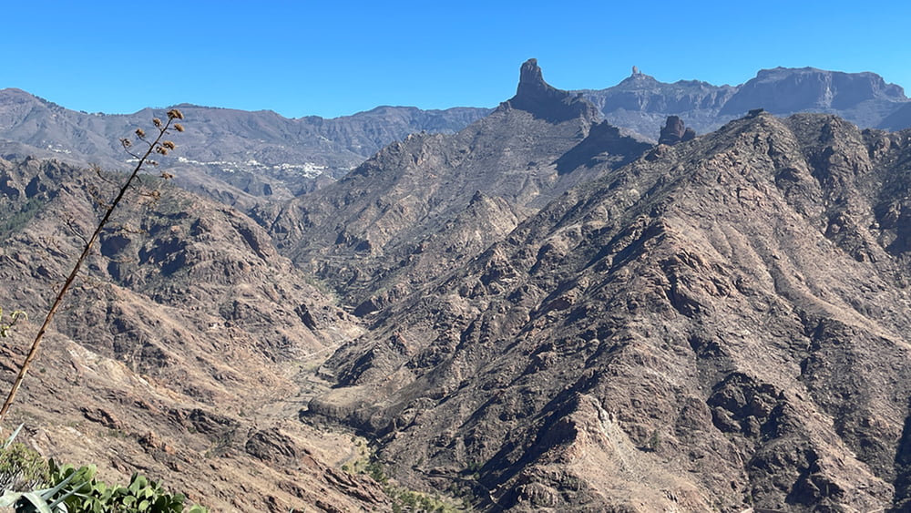
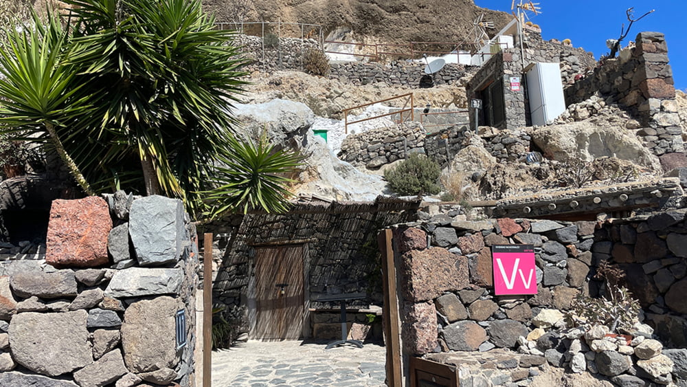
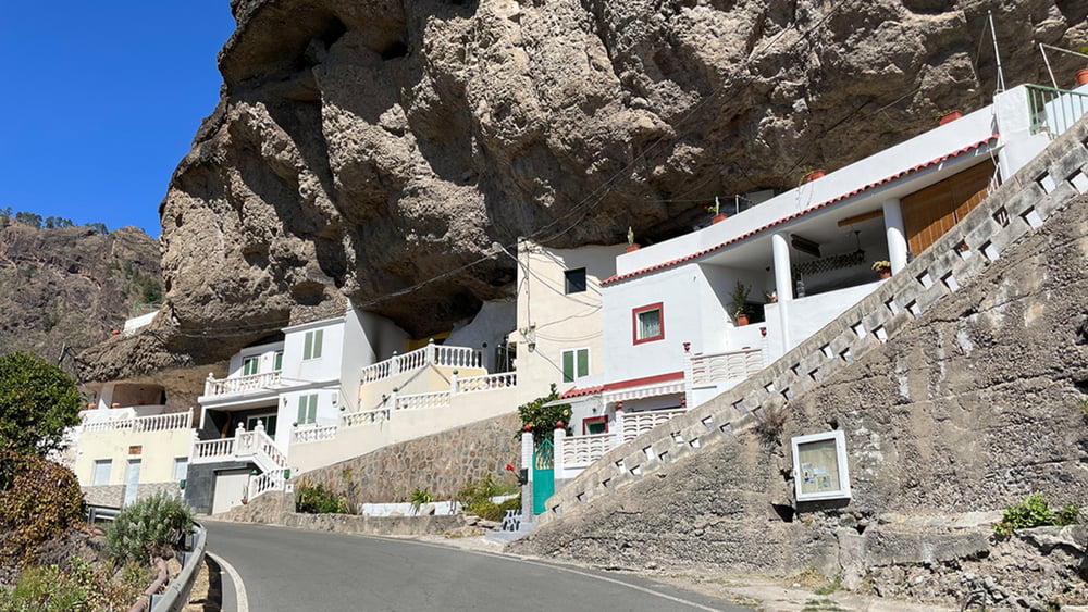
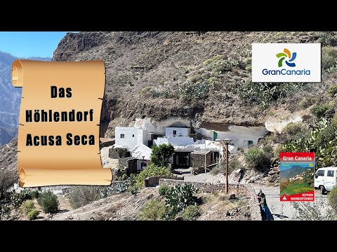
Unsere Wanderung führt auf einem schmalen Felsenband um den Tafelberg herum und macht uns mit einem der ab gelegensten Winkel der Insel bekannt. Die Höhlenhäuser von Acusa Secra ducken sich im Schatten steil aufragender Felswände und öffnen einen fantastischen Ausblick auf die gezackten Bergkämme der Caldera. Im zweiten Teil der Tour geht es auf der Asphaltstraße zum Kirchdorf Vega de Acusa, dann über die gleichnamige Hochfläche zu unserem Startpunkt hinab.
Tour gallery
Tour map and elevation profile
Minimum height 760 m
Maximum height 1001 m
More about the tour author
|
|
schleidy |
Comments

GPS tracks
Trackpoints-
GPX / Garmin Map Source (gpx) download
-
TCX / Garmin Training Center® (tcx) download
-
CRS / Garmin Training Center® (crs) download
-
Google Earth (kml) download
-
G7ToWin (g7t) download
-
TTQV (trk) download
-
Overlay (ovl) download
-
Fugawi (txt) download
-
Kompass (DAV) Track (tk) download
-
Track data sheet (pdf) download
-
Original file of the author (gpx) download
More about the tour author
|
|
schleidy |
Add to my favorites
Remove from my favorites
Edit tags
Open track
My score
Rate