Login

Forgotten password?

Cookies have to be accepted!
Your browser's cookie functionality is disabled. Please enable this functionality.

Not a member yet?

Register now
Login

Available for registred users only

Log in to use this feature.

Forgotten password?

Cookies have to be accepted!
Your browser's cookie functionality is disabled. Please enable this functionality.

Not a member yet?

Register now
Filter
Categories
Advanced filters
  • Distance (km)
  • Height
Save filters Reset filter

TrackRank

QRCode

Technical data

Distance16,6 km Height253 m Way down262 m Duration01:00 h:m Date07.07.2008
Scores Author Landscape Fun factor Fitness Technique

Statistics

745 Views Scores 202 Downloads Average
Rate
  • Track data sheet
  • Directions
  • Downloads
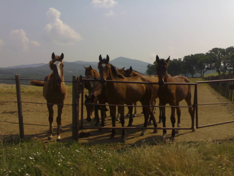
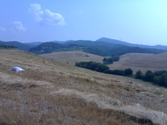
Endlich mal eine Strecke, die mir die Wahl der Stollenreifen bestätigt. Glühend heißer Sonntag, also in Italien weg von Autostraßen und Strand. Strecke geht über Schotter und Erdwege vorbei an Pferde- und Rinderkoppeln rund um das Elisabetta-Agrihotel..

Tour gallery

Tour map and elevation profile

  • Open Street Map
  • Google
Minimum height 54 m Maximum height 183 m Detailed view

More about the tour author

berufsradler
Member since 2007

Send private message

Comments

voku65 on 03.09.2013

Schöne Tour

Einfache Tor, aber wirklich zu empfehlen. Tolle Trails und echte spitze Aussichten. Bin die Tour von VADA aus gefahren. Konnte sogar eine Schlange (schwarz,braun) sehen.

GPS tracks

Trackpoints
  • GPX / Garmin Map Source (gpx) download
  • TCX / Garmin Training Center® (tcx) download
  • CRS / Garmin Training Center® (crs) download
  • Google Earth (kml) download
  • G7ToWin (g7t) download
  • TTQV (trk) download
  • Overlay (ovl) download
  • Fugawi (txt) download
  • Kompass (DAV) Track (tk) download
  • Track data sheet (pdf) download
  • Original file of the author (gpx) download

More about the tour author

berufsradler
Member since 2007

Send private message
Share track
Add to my favorites
Remove from my favorites
Edit tags
My score
Rate
Track: Stollentrail
Type: Mountain bike
Distance: 16,6 km
Evaluated on:
Duration:
Day(s)
Hour(s)
Minute(s)
Score: Landscape Fun factor Fitness Technique