


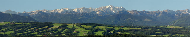
Sehr schöne Runde mit Abstecher zum schönsten Rundblick Bayerns auf dem Hohen Peißenberg.
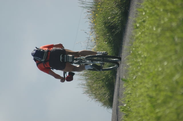
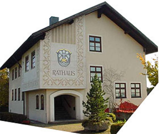
Startpunkt ist am Rathaus in Hohenpeißenberg, von dort gehts nach Peiting und dann an der Ammer entlang nach Peißenberg und weiter bis zur Berghofsiedlung, dann wieder zurück nach Peissenberg und über einen knackig steilen Anstieg hoch auf den Hohen Peißenberg.
Die Strecke führt stets über gut befahrbare Feld- und Teerwege, nur ein kurzes Stück durch Peißenberg besteht aus einer Verkehrsstraße, von Peiting bis Peißenberg immer entlang an der schönen Ammer durch herrliche Landschaft.
Am Schluß der Tour wird der steile Anstieg belohnt mit dem schönsten Rundblick Bayerns auf dem Hohen Peißenberg
Further information at
http://www.hohenpeissenberg.deTour gallery
Tour map and elevation profile
Minimum height 576 m
Maximum height 990 m
More about the tour author
|
|
Ritzelflitzer |
Comments

GPS tracks
Trackpoints-
GPX / Garmin Map Source (gpx) download
-
TCX / Garmin Training Center® (tcx) download
-
CRS / Garmin Training Center® (crs) download
-
Google Earth (kml) download
-
G7ToWin (g7t) download
-
TTQV (trk) download
-
Overlay (ovl) download
-
Fugawi (txt) download
-
Kompass (DAV) Track (tk) download
-
Track data sheet (pdf) download
-
Original file of the author (gpx) download
More about the tour author
|
|
Ritzelflitzer |
Add to my favorites
Remove from my favorites
Edit tags
Open track
My score
Rate