


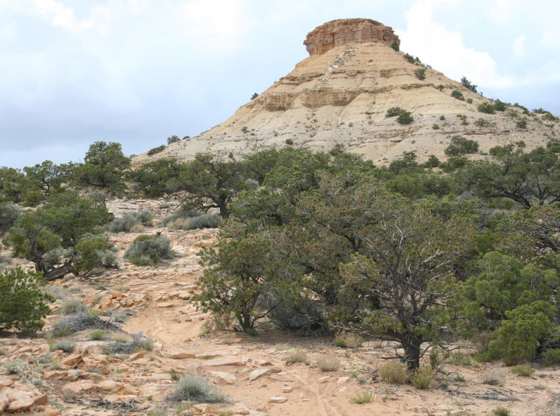
Das ist so ungefähr irgenwie mitten im Niemandsland. Dass hier jemand Trails baut, erstaunlich.
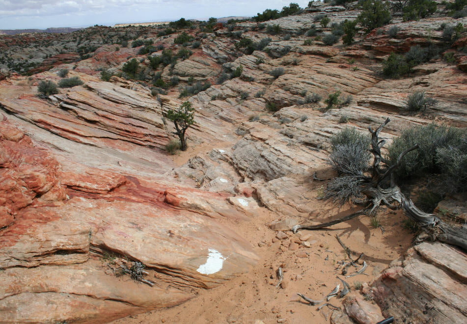
Der erste Teil ist ziemlich felsig und holprig. Mna kann fast alles fahren, dann geht es in ein Flußbett hinab, dort ist es ziemlich kiesig, schieben ist angesagt. Die Auffahrt nicht verpassen! Nach der Auffahrt dann auf etwas langweiligem Weg zu einem Trailhead und auf der Schotterstraße zurück.
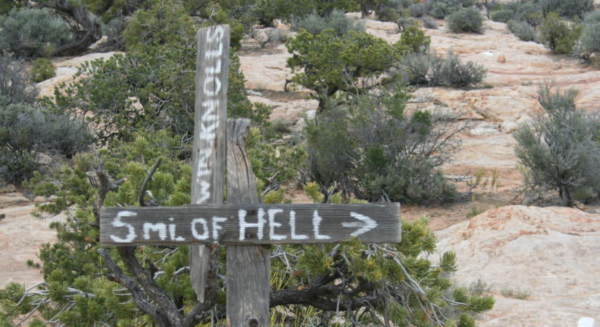
Hier gibt es auch den Trail "5 Miles of hell". Mit dem MTB ein etwas besonderes Vergnügen, da die Anstiege zu steil zum fahren sind, der Trail ist ja auch für Motorräder.
Tour gallery

Tour map and elevation profile
Minimum height 1830 m
Maximum height 2080 m
More about the tour author
|
|
RandB |
Comments

Von der Interstate auf der Schotterstraße bis zum Parkplatz am Trailhead.
GPS tracks
Trackpoints-
GPX / Garmin Map Source (gpx) download
-
TCX / Garmin Training Center® (tcx) download
-
CRS / Garmin Training Center® (crs) download
-
Google Earth (kml) download
-
G7ToWin (g7t) download
-
TTQV (trk) download
-
Overlay (ovl) download
-
Fugawi (txt) download
-
Kompass (DAV) Track (tk) download
-
Track data sheet (pdf) download
-
Original file of the author (gpx) download
More about the tour author
|
|
RandB |
Add to my favorites
Remove from my favorites
Edit tags
Open track
My score
Rate