Login

Forgot your login?

Cookies have to be accepted!
Your browser's cookie functionality is disabled. Please enable this functionality.

Not a member yet?

Register now
Login

Available for registred users only

Log in to use this feature.

Forgot your login?

Cookies have to be accepted!
Your browser's cookie functionality is disabled. Please enable this functionality.

Not a member yet?

Register now
Filter
Categories
Advanced filters
  • Distance (km)
  • Height
Save filters Reset filter

TrackRank

QRCode

Technical data

Distance456,0 km Height11565 m Way down12175 m Duration00:00 h:m Date21.07.2008
Scores Author Landscape Fun factor Fitness Technique

Statistics

3461 Views Scores 439 Downloads Average
Rate
  • Track data sheet
  • Directions
  • Downloads

Die Übernachtung bei "Sabine" in Galtür ist sehr zu empfehlen. Mit schöner kleiner Saunalandschaft.

Ein Highlight war auch der Aufenthalt im Hotel "Altavilla". Nicht wegen den Zimmern, sondern wegen dem Essen
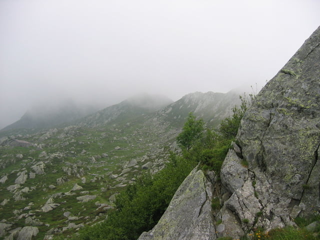
Tour gallery

Tour map and elevation profile

  • Open Street Map
  • Google
Minimum height 197 m Maximum height 2608 m Detailed view

More about the tour author

redsunrising
Member since 2004

Send private message

Comments

GPS tracks

Trackpoints
  • GPX / Garmin Map Source (gpx) download
  • TCX / Garmin Training Center® (tcx) download
  • CRS / Garmin Training Center® (crs) download
  • Google Earth (kml) download
  • G7ToWin (g7t) download
  • TTQV (trk) download
  • Overlay (ovl) download
  • Fugawi (txt) download
  • Kompass (DAV) Track (tk) download
  • Track data sheet (pdf) download
  • Original file of the author (gpx) download

More about the tour author

redsunrising
Member since 2004

Send private message
Share track
Add to my favorites
Remove from my favorites
Edit tags
My score
Rate
Track: Oberstdorf-Lago Maggiore
Type: Transalp
Distance: 456,0 km
Evaluated on:
Duration:
Day(s)
Hour(s)
Minute(s)
Score: Landscape Fun factor Fitness Technique