

Vom Tourismusbüro Stegersbach führt der Weg über Ollersdorf nach Litzelsdorf entlang des neuen Weges nächst des Strembaches. In Litzelsdorf mündet die Tour in den offiziellen Radweg B55 "Berghäuser".
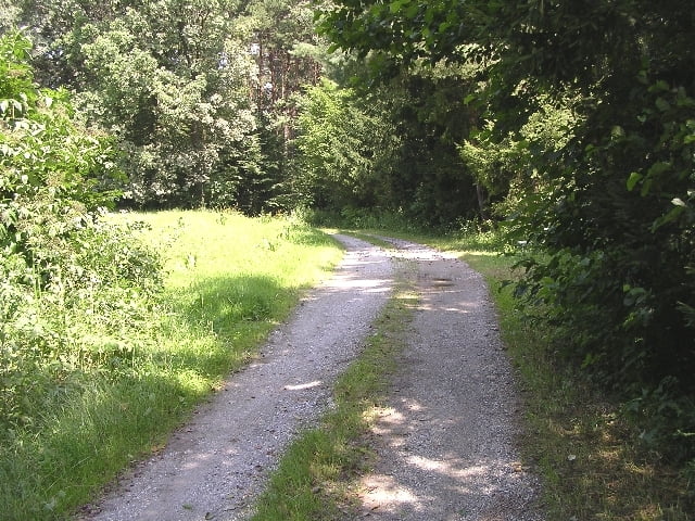
Der Radweg führt abwechselnd durch Wald- und Wiesengebiete und idyllische kleine Ortschaften des Südburgenlandes. Der Streckenverlauf ist abwechslungsreich und teilweise mit kurzen, steilen Anstiegen und Abfahrten.
Highlights entlang der Strecke: Herrliches Panorama, das Schloss Rotenturm mit Schlosspark
Further information at
http://www.suedburgenland.infoTour map and elevation profile
Minimum height 259 m
Maximum height 401 m
More about the tour author

|
stegersbach |
Comments

GPS tracks
Trackpoints-
GPX / Garmin Map Source (gpx) download
-
TCX / Garmin Training Center® (tcx) download
-
CRS / Garmin Training Center® (crs) download
-
Google Earth (kml) download
-
G7ToWin (g7t) download
-
TTQV (trk) download
-
Overlay (ovl) download
-
Fugawi (txt) download
-
Kompass (DAV) Track (tk) download
-
Track data sheet (pdf) download
-
Original file of the author (gpx) download
More about the tour author
|
|
stegersbach |
Add to my favorites
Remove from my favorites
Edit tags
Open track
My score
Rate