


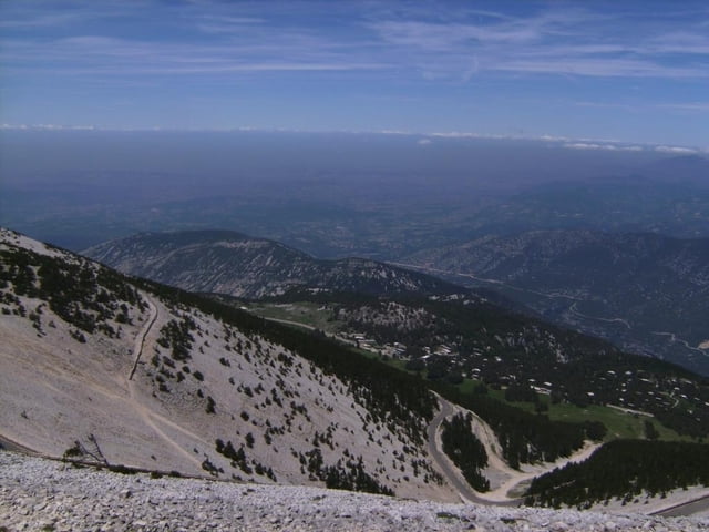
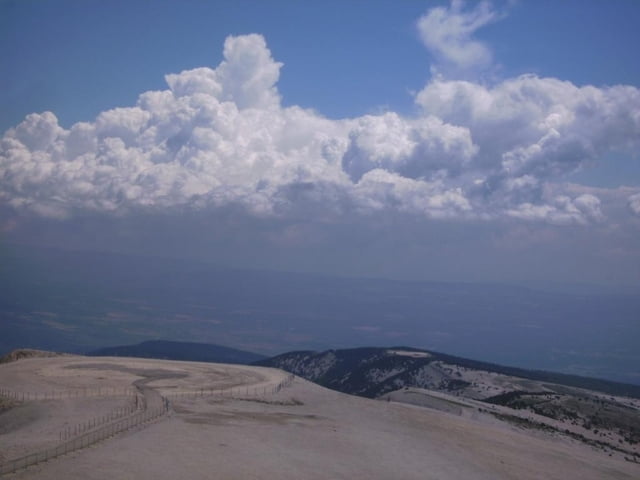
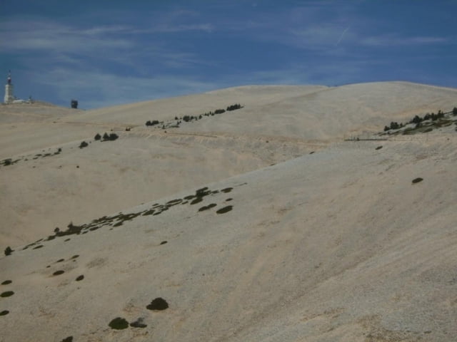
Fahrt von Avignon zunächst auf Haupt- dann auf Nebenstraßen an den Fuß des Mont Ventoux. Auffahrt auf der im Wald liegenden Südrampe, dann recht sonnig durch die "riesige Kiesgrube" zum Gipfel. Abfahrt auf ewig langer, flacherer Strecke nach Sault zur nächsten Übernachtung. Die Strecke war Teil einer Tour mit 9 Etappen durch Südfrankreich von Hotel zu Hotel. Siehe auch Tour Grand Canyon du Verdon
Further information at
http://www.zeiler-tours.de/Tour gallery

Tour map and elevation profile
Minimum height 8 m
Maximum height 1898 m
More about the tour author
|
|
herzi |
Comments

GPS tracks
Trackpoints-
GPX / Garmin Map Source (gpx) download
-
TCX / Garmin Training Center® (tcx) download
-
CRS / Garmin Training Center® (crs) download
-
Google Earth (kml) download
-
G7ToWin (g7t) download
-
TTQV (trk) download
-
Overlay (ovl) download
-
Fugawi (txt) download
-
Kompass (DAV) Track (tk) download
-
Track data sheet (pdf) download
-
Original file of the author (gpx) download
More about the tour author
|
|
herzi |
Add to my favorites
Remove from my favorites
Edit tags
Open track
My score
Rate