


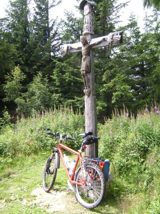
Eine der vielen Auffahrten auf die Stoißer Alm (Teisenberg). Parken kurz vor Adlgass bei Inzell; dem Track folgend zum Teil knackig (VDO-Tacho zeigte kurzzeitig bis 17 % Steigung an) an mehreren Abzweigungen vorbei bis in den Sattel. Nach dem folgenden Steilstück besteht die Möglichkeit, nach rechts auf ebenen Fußweg abzuzweigen. Schöner aber geradeaus und den Gipfel mitnehmen, man kann dann von der Bergseite zur Alm abfahren.
siehe auch die 7 anderen, von mir erfaßten Varianten:
/de/touren/detail.19567.html
/de/touren/detail.19652.html
/de/touren/detail.19665.html
/de/touren/detail.19888.html
/de/touren/detail.19890.html
/de/touren/detail.21282.html
/de/touren/detail.84482.html
Further information at
http://www.dav-teisendorf.de/dud/teisenberg.htmTour gallery


Tour map and elevation profile
Minimum height 774 m
Maximum height 1325 m
More about the tour author
|
|
herzi |
Comments

BAB München-Salzburg, Ausfahrt Siegsdorf, weiter Richtung Berchtesgaden, in Inzell links weg nach Adlgass
GPS tracks
Trackpoints-
GPX / Garmin Map Source (gpx) download
-
TCX / Garmin Training Center® (tcx) download
-
CRS / Garmin Training Center® (crs) download
-
Google Earth (kml) download
-
G7ToWin (g7t) download
-
TTQV (trk) download
-
Overlay (ovl) download
-
Fugawi (txt) download
-
Kompass (DAV) Track (tk) download
-
Track data sheet (pdf) download
-
Original file of the author (gpx) download
More about the tour author
|
|
herzi |
Add to my favorites
Remove from my favorites
Edit tags
Open track
My score
Rate